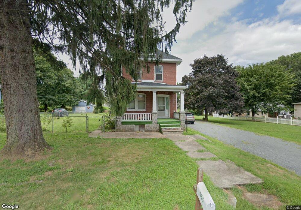
365 Laurelwood Rd Pottstown, PA 19465
North Coventry NeighborhoodEstimated Value: $380,000 - $431,000
4
Beds
1
Bath
1,944
Sq Ft
$205/Sq Ft
Est. Value
About This Home
This home is located at 365 Laurelwood Rd, Pottstown, PA 19465 and is currently estimated at $399,463, approximately $205 per square foot. 365 Laurelwood Rd is a home located in Chester County with nearby schools including North Coventry Elementary School, Owen J Roberts Middle School, and Owen J Roberts High School.
Ownership History
Date
Name
Owned For
Owner Type
Purchase Details
Closed on
Feb 5, 2025
Sold by
Pettit Nancy and Pettit Irene
Bought by
Pettit Irene
Current Estimated Value
Purchase Details
Closed on
Jan 2, 2024
Sold by
Messer Gerald N and Messer Carol
Bought by
Pettit Irene
Purchase Details
Closed on
Feb 1, 1991
Bought by
Messer Carol and Pettit Nancy
Create a Home Valuation Report for This Property
The Home Valuation Report is an in-depth analysis detailing your home's value as well as a comparison with similar homes in the area
Home Values in the Area
Average Home Value in this Area
Purchase History
| Date | Buyer | Sale Price | Title Company |
|---|---|---|---|
| Pettit Irene | -- | None Listed On Document | |
| Pettit Irene | -- | None Listed On Document | |
| Pettit Irene | -- | None Listed On Document | |
| Pettit Irene | -- | None Listed On Document | |
| Pettit Irene | -- | None Listed On Document | |
| Pettit Irene | -- | None Listed On Document | |
| Messer Carol | -- | -- |
Source: Public Records
Tax History Compared to Growth
Tax History
| Year | Tax Paid | Tax Assessment Tax Assessment Total Assessment is a certain percentage of the fair market value that is determined by local assessors to be the total taxable value of land and additions on the property. | Land | Improvement |
|---|---|---|---|---|
| 2025 | $4,781 | $112,880 | $21,560 | $91,320 |
| 2024 | $4,781 | $112,880 | $21,560 | $91,320 |
| 2023 | $4,714 | $112,880 | $21,560 | $91,320 |
| 2022 | $4,617 | $112,880 | $21,560 | $91,320 |
| 2021 | $4,536 | $112,880 | $21,560 | $91,320 |
| 2020 | $4,422 | $112,880 | $21,560 | $91,320 |
| 2019 | $4,341 | $112,880 | $21,560 | $91,320 |
| 2018 | $4,224 | $112,880 | $21,560 | $91,320 |
| 2017 | $4,114 | $112,880 | $21,560 | $91,320 |
| 2016 | $3,317 | $112,880 | $21,560 | $91,320 |
| 2015 | $3,317 | $112,880 | $21,560 | $91,320 |
| 2014 | $3,317 | $112,880 | $21,560 | $91,320 |
Source: Public Records
Map
Nearby Homes
- 738 Union Ave
- 797 Union Ave
- 327 S Hanover St
- 84 W Schuylkill Rd
- 36 King St Unit 29
- 109 1/2 E High St
- 0000 Chestnut St
- 383 W Cedarville Rd
- 156 Gable Ave
- 54 Chestnut St
- 1030 S Hanover St
- 386 Potts Ct
- 43 Walnut St
- 22 Beech St
- 151 N York St
- 151 Chestnut St
- 0 E Cedarville Rd Unit PACT2074080
- 325 South St
- 33 Beech St
- 8 Ryan St
- 377 Laurelwood Rd
- 347 Laurelwood Rd
- 393 Laurelwood Rd
- 366 Reiff Ave
- 354 Reiff Ave
- 341 Laurelwood Rd
- 374 Laurelwood Rd
- 735 Fisher Ave
- 348 Reiff Ave
- 396 Laurelwood Rd
- 366 Laurelwood Rd
- 340 Laurelwood Rd
- 358 Laurelwood Rd
- 327 Laurelwood Rd
- 334 Reiff Ave
- 408 Laurelwood Rd
- 361 Reiff Ave
- 318 Reiff Ave
- 391 Reiff Ave
- 342 Laurelwood Rd