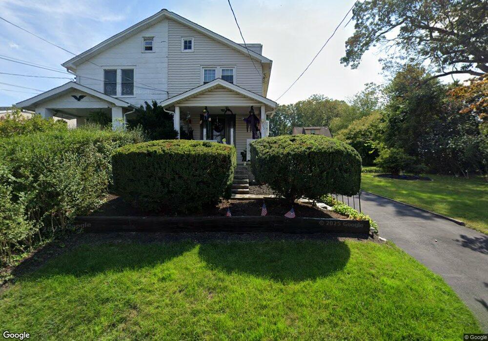
365 Locust Rd Glenside, PA 19038
Estimated Value: $313,000 - $396,672
4
Beds
1
Bath
1,398
Sq Ft
$244/Sq Ft
Est. Value
About This Home
This home is located at 365 Locust Rd, Glenside, PA 19038 and is currently estimated at $341,668, approximately $244 per square foot. 365 Locust Rd is a home located in Montgomery County with nearby schools including Copper Beech Elementary School, Abington Middle School, and Abington Senior High School.
Ownership History
Date
Name
Owned For
Owner Type
Purchase Details
Closed on
Dec 29, 1977
Bought by
Vanderslice Robert T and Vanderslice Carmen G
Current Estimated Value
Create a Home Valuation Report for This Property
The Home Valuation Report is an in-depth analysis detailing your home's value as well as a comparison with similar homes in the area
Home Values in the Area
Average Home Value in this Area
Purchase History
| Date | Buyer | Sale Price | Title Company |
|---|---|---|---|
| Vanderslice Robert T | $36,500 | -- |
Source: Public Records
Tax History Compared to Growth
Tax History
| Year | Tax Paid | Tax Assessment Tax Assessment Total Assessment is a certain percentage of the fair market value that is determined by local assessors to be the total taxable value of land and additions on the property. | Land | Improvement |
|---|---|---|---|---|
| 2025 | $4,747 | $102,490 | $47,490 | $55,000 |
| 2024 | $4,747 | $102,490 | $47,490 | $55,000 |
| 2023 | $4,548 | $102,490 | $47,490 | $55,000 |
| 2022 | $4,402 | $102,490 | $47,490 | $55,000 |
| 2021 | $4,166 | $102,490 | $47,490 | $55,000 |
| 2020 | $4,106 | $102,490 | $47,490 | $55,000 |
| 2019 | $4,106 | $102,490 | $47,490 | $55,000 |
| 2018 | $4,106 | $102,490 | $47,490 | $55,000 |
| 2017 | $3,985 | $102,490 | $47,490 | $55,000 |
| 2016 | $3,946 | $102,490 | $47,490 | $55,000 |
| 2015 | $3,708 | $102,490 | $47,490 | $55,000 |
| 2014 | $3,708 | $102,490 | $47,490 | $55,000 |
Source: Public Records
Map
Nearby Homes
- 2711 Taft Ave
- 229 Edge Hill Rd
- 342 Cricket Ave
- 441 Cricket Ave
- 624 Hamel Ave
- 221 Central Ave
- 502 Central Ave
- 2444 Fairhill Ave
- 629 Roberts Ave
- 648 N Tyson Ave
- 616 Tennis Ave
- 722 Maple Ave
- 550 Penn Ave
- 623 Penn Ave
- 65 Limekiln Pike
- 222 Ruscombe Ave
- 743 Penn Ave
- 332 Logan Ave
- 140 Linden Ave
- 120 Linden Ave
- 367 Locust Rd
- 371 Locust Rd
- 357 Locust Rd
- 375 Locust Rd
- 328 Edge Hill Rd
- 326 Edge Hill Rd
- 355 Locust Rd Unit 73
- 322 Edge Hill Rd
- 330 Edge Hill Rd
- 334 Edge Hill Rd
- 318 Edge Hill Rd
- 362 Locust Rd
- 366 Locust Rd
- 379 Locust Rd
- 358 Locust Rd
- 338 Edge Hill Rd
- 347 Locust Rd
- 314 Edge Hill Rd
- 376 Locust Rd
- 354 Locust Rd