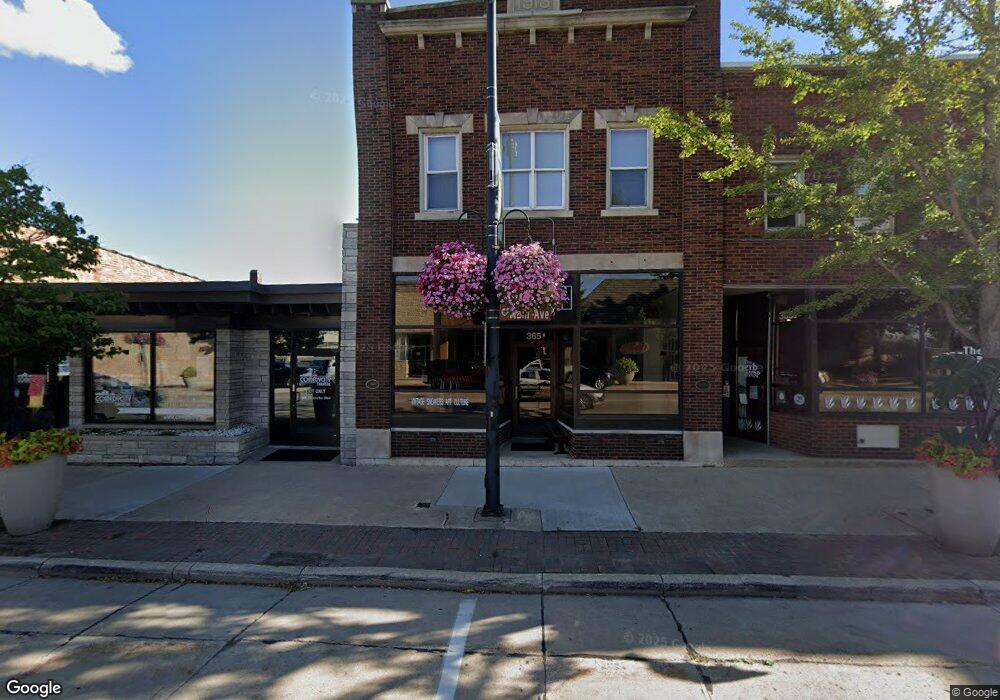
365 Main Ave de Pere, WI 54115
Estimated Value: $675,361
--
Bed
--
Bath
11,060
Sq Ft
$61/Sq Ft
Est. Value
About This Home
This home is located at 365 Main Ave, de Pere, WI 54115 and is currently estimated at $675,361, approximately $61 per square foot. 365 Main Ave is a home located in Brown County with nearby schools including Westwood Elementary School, West De Pere Middle School, and West De Pere High School.
Ownership History
Date
Name
Owned For
Owner Type
Purchase Details
Closed on
May 31, 2013
Sold by
Fox Communities Cu
Bought by
Saks Holdings Llc
Current Estimated Value
Purchase Details
Closed on
Jan 31, 2012
Sold by
A & P Maringer Llc
Bought by
Fox Communities Credit Union
Purchase Details
Closed on
Mar 12, 2001
Sold by
Cowles David F
Bought by
A & P Maringer Llc
Home Financials for this Owner
Home Financials are based on the most recent Mortgage that was taken out on this home.
Original Mortgage
$293,000
Interest Rate
7.13%
Mortgage Type
Commercial
Create a Home Valuation Report for This Property
The Home Valuation Report is an in-depth analysis detailing your home's value as well as a comparison with similar homes in the area
Home Values in the Area
Average Home Value in this Area
Purchase History
| Date | Buyer | Sale Price | Title Company |
|---|---|---|---|
| Saks Holdings Llc | $175,000 | None Available | |
| Fox Communities Credit Union | $216,000 | None Available | |
| A & P Maringer Llc | $325,000 | Liberty Title |
Source: Public Records
Mortgage History
| Date | Status | Borrower | Loan Amount |
|---|---|---|---|
| Previous Owner | A & P Maringer Llc | $293,000 |
Source: Public Records
Tax History Compared to Growth
Tax History
| Year | Tax Paid | Tax Assessment Tax Assessment Total Assessment is a certain percentage of the fair market value that is determined by local assessors to be the total taxable value of land and additions on the property. | Land | Improvement |
|---|---|---|---|---|
| 2024 | $16,657 | $917,300 | $71,900 | $845,400 |
| 2023 | $14,499 | $764,400 | $71,900 | $692,500 |
| 2022 | $13,707 | $649,000 | $71,900 | $577,100 |
| 2021 | $13,901 | $649,000 | $71,900 | $577,100 |
| 2020 | $13,711 | $649,000 | $71,900 | $577,100 |
| 2019 | $16,144 | $649,000 | $71,900 | $577,100 |
| 2018 | $15,472 | $649,000 | $71,900 | $577,100 |
| 2017 | $9,330 | $407,300 | $43,100 | $364,200 |
| 2016 | $9,393 | $407,300 | $43,100 | $364,200 |
| 2015 | $9,578 | $407,300 | $43,100 | $364,200 |
| 2014 | $15,225 | $407,300 | $43,100 | $364,200 |
| 2013 | $15,225 | $407,300 | $43,100 | $364,200 |
Source: Public Records
Map
Nearby Homes
- 555 Main Ave Unit 110
- 555 Main Ave Unit 104
- 555 Main Ave Unit 111
- 555 Main Ave Unit 206
- 555 Main Ave Unit 113
- 634 Grant St
- 200 William St Unit 402
- 657 Reid St
- 717 4th St
- 806 4th St
- 721 Cedar St
- 416 Lansdowne St
- 410 Battery Ave
- 363 Battery Ave
- 1611 N Honeysuckle Cir
- 305 Battery Ave
- 385 Battery Ave
- 413 Brookline Ave
- 337 Battery Ave
- 400 Battery Ave