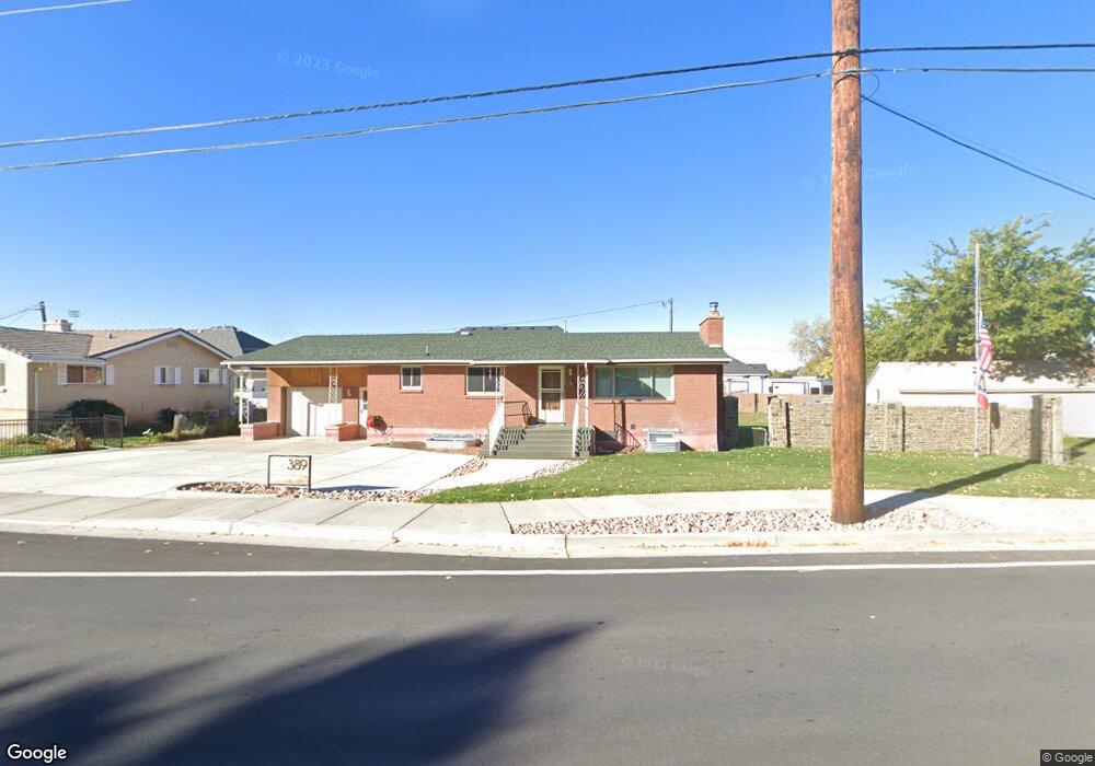
365 N 300 W Spanish Fork, UT 84660
Estimated Value: $457,000 - $535,000
5
Beds
3
Baths
1,376
Sq Ft
$362/Sq Ft
Est. Value
About This Home
This home is located at 365 N 300 W, Spanish Fork, UT 84660 and is currently estimated at $498,457, approximately $362 per square foot. 365 N 300 W is a home located in Utah County with nearby schools including Brockbank Elementary School, Spanish Fork Jr High School, and Spanish Fork High School.
Ownership History
Date
Name
Owned For
Owner Type
Purchase Details
Closed on
Nov 10, 2022
Sold by
Spanish Fork City
Bought by
Hudson Jonathan Duke and Hudson Katherine
Current Estimated Value
Purchase Details
Closed on
Jul 5, 2022
Sold by
Family Trust
Bought by
Spanish Fork City
Purchase Details
Closed on
Oct 30, 2003
Sold by
Liddiard Gilbert L and Liddiard Laree
Bought by
Liddiard Gilbert L and Liddiard Laree
Create a Home Valuation Report for This Property
The Home Valuation Report is an in-depth analysis detailing your home's value as well as a comparison with similar homes in the area
Home Values in the Area
Average Home Value in this Area
Purchase History
| Date | Buyer | Sale Price | Title Company |
|---|---|---|---|
| Hudson Jonathan Duke | -- | -- | |
| Spanish Fork City | -- | Key Land Title | |
| Liddiard Gilbert L | -- | -- |
Source: Public Records
Mortgage History
| Date | Status | Borrower | Loan Amount |
|---|---|---|---|
| Closed | Hudson Jonathan Duke | $0 |
Source: Public Records
Tax History Compared to Growth
Tax History
| Year | Tax Paid | Tax Assessment Tax Assessment Total Assessment is a certain percentage of the fair market value that is determined by local assessors to be the total taxable value of land and additions on the property. | Land | Improvement |
|---|---|---|---|---|
| 2025 | $2,271 | $256,410 | $150,800 | $315,400 |
| 2024 | $2,271 | $234,080 | $0 | $0 |
| 2023 | $2,304 | $237,765 | $0 | $0 |
| 2022 | $2,309 | $233,640 | $0 | $0 |
| 2021 | $2,040 | $330,300 | $87,500 | $242,800 |
| 2020 | $1,853 | $291,600 | $72,900 | $218,700 |
| 2019 | $1,589 | $263,100 | $72,900 | $190,200 |
| 2018 | $1,489 | $238,300 | $72,900 | $165,400 |
| 2017 | $1,341 | $115,390 | $0 | $0 |
| 2016 | $1,241 | $105,380 | $0 | $0 |
| 2015 | $1,246 | $104,500 | $0 | $0 |
| 2014 | $1,256 | $105,710 | $0 | $0 |
Source: Public Records
Map
Nearby Homes
- 393 N 400 W
- 294 W 200 N
- 433 N 100 W
- 134 N 300 W
- 40 W 400 N Unit 1-6
- 1841 N 630 St W Unit 71
- 1788 N 630 St W Unit 47
- 1826 N 630 St W Unit 101
- 559 N Mitchell Dr
- 555 N 100 E
- 143 E 200 N
- 88 S 400 W
- 833 W 250 N
- 13 N 710 W
- 55 E 700 N
- 226 N 860 W Unit 156
- 440 N 200 E
- 42 W 200 S
- 225 W 300 S
- 1040 W Center St