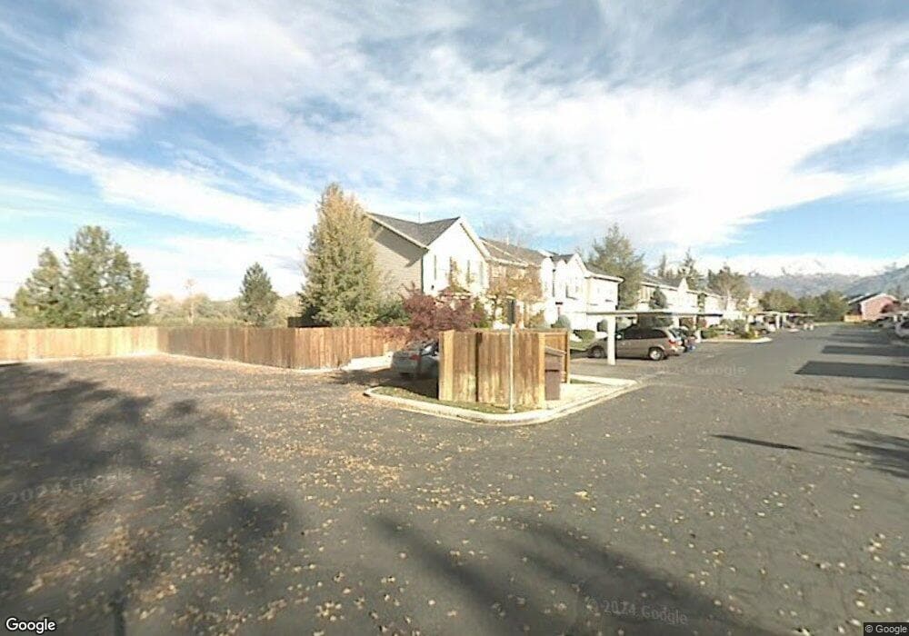
365 N 580 W American Fork, UT 84003
Estimated Value: $338,000 - $398,000
2
Beds
2
Baths
1,100
Sq Ft
$331/Sq Ft
Est. Value
About This Home
This home is located at 365 N 580 W, American Fork, UT 84003 and is currently estimated at $363,659, approximately $330 per square foot. 365 N 580 W is a home located in Utah County with nearby schools including Shelley Elementary School, American Fork Junior High School, and American Fork High School.
Ownership History
Date
Name
Owned For
Owner Type
Purchase Details
Closed on
Mar 1, 2023
Sold by
Jackson Robert S
Bought by
Kay And Robert Jackson Living Trust
Current Estimated Value
Purchase Details
Closed on
Jul 11, 2002
Sold by
Lindstrom Jeffrey H and Lindstrom Sherrie
Bought by
Jackson Robert S and Jackson Kay L
Home Financials for this Owner
Home Financials are based on the most recent Mortgage that was taken out on this home.
Original Mortgage
$69,000
Interest Rate
6.69%
Purchase Details
Closed on
Nov 26, 1996
Sold by
Perry Richard R
Bought by
Lindstrom Jeffrey H and Lindstrom Sherrie
Home Financials for this Owner
Home Financials are based on the most recent Mortgage that was taken out on this home.
Original Mortgage
$93,252
Interest Rate
7.91%
Mortgage Type
FHA
Create a Home Valuation Report for This Property
The Home Valuation Report is an in-depth analysis detailing your home's value as well as a comparison with similar homes in the area
Home Values in the Area
Average Home Value in this Area
Purchase History
| Date | Buyer | Sale Price | Title Company |
|---|---|---|---|
| Kay And Robert Jackson Living Trust | -- | -- | |
| Jackson Robert S | -- | Equity Title Agency Inc | |
| Lindstrom Jeffrey H | -- | -- |
Source: Public Records
Mortgage History
| Date | Status | Borrower | Loan Amount |
|---|---|---|---|
| Previous Owner | Jackson Robert S | $69,000 | |
| Previous Owner | Lindstrom Jeffrey H | $93,252 |
Source: Public Records
Tax History Compared to Growth
Tax History
| Year | Tax Paid | Tax Assessment Tax Assessment Total Assessment is a certain percentage of the fair market value that is determined by local assessors to be the total taxable value of land and additions on the property. | Land | Improvement |
|---|---|---|---|---|
| 2025 | $1,603 | $170,170 | $45,500 | $263,900 |
| 2024 | $1,603 | $178,090 | $0 | $0 |
| 2023 | $1,467 | $172,755 | $0 | $0 |
| 2022 | $1,535 | $178,475 | $0 | $0 |
| 2021 | $1,258 | $228,500 | $34,300 | $194,200 |
| 2020 | $1,166 | $205,300 | $30,800 | $174,500 |
| 2019 | $983 | $179,100 | $26,900 | $152,200 |
| 2018 | $873 | $152,000 | $22,800 | $129,200 |
| 2017 | $772 | $72,600 | $0 | $0 |
| 2016 | $756 | $66,000 | $0 | $0 |
| 2015 | $796 | $66,000 | $0 | $0 |
| 2014 | $774 | $63,250 | $0 | $0 |
Source: Public Records
Map
Nearby Homes
- 356 N 480 W
- 777 W State Rd
- 370 W Pacific Dr Unit 1
- 641 N 420 W
- 962 N 780 St W Unit 508
- 974 N 780 St W Unit 509
- 916 N 780 St W Unit 501
- 540 N 300 W
- 120 N 350 W Unit 127
- 120 N 350 W Unit 133
- 120 N 350 W Unit 130
- 217 W Main St
- 822 W 800 St N Unit LOT319
- 602 W 860 N
- 822 N 860 W Unit 317
- 55 Roosevelt Ave
- 365 N 100 W
- 82 S Lincoln Ave
- 351 Washington Ave
- 914 N 400 W Unit A