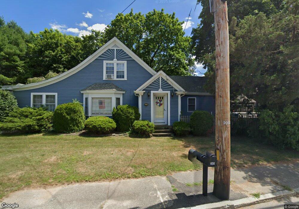
365 Newman Ave Seekonk, MA 02771
Estimated Value: $544,000 - $589,804
4
Beds
2
Baths
2,158
Sq Ft
$266/Sq Ft
Est. Value
About This Home
This home is located at 365 Newman Ave, Seekonk, MA 02771 and is currently estimated at $573,201, approximately $265 per square foot. 365 Newman Ave is a home located in Bristol County with nearby schools including Seekonk High School, St Margaret School, and The Wolf School.
Ownership History
Date
Name
Owned For
Owner Type
Purchase Details
Closed on
Dec 22, 1999
Sold by
Foss Robert E and Foss Dianne M
Bought by
Downing James B and Downing Kristen M
Current Estimated Value
Home Financials for this Owner
Home Financials are based on the most recent Mortgage that was taken out on this home.
Original Mortgage
$135,100
Outstanding Balance
$41,495
Interest Rate
7.61%
Mortgage Type
Purchase Money Mortgage
Estimated Equity
$531,706
Purchase Details
Closed on
Aug 2, 1996
Sold by
Howitt Shirley B
Bought by
Swift Joseph R
Purchase Details
Closed on
Sep 28, 1995
Sold by
Swift Joseph E and Swift Kathleen A
Bought by
Foss Robert E and Foss Dianne M
Home Financials for this Owner
Home Financials are based on the most recent Mortgage that was taken out on this home.
Original Mortgage
$126,000
Interest Rate
7.89%
Mortgage Type
Purchase Money Mortgage
Create a Home Valuation Report for This Property
The Home Valuation Report is an in-depth analysis detailing your home's value as well as a comparison with similar homes in the area
Home Values in the Area
Average Home Value in this Area
Purchase History
| Date | Buyer | Sale Price | Title Company |
|---|---|---|---|
| Downing James B | $163,000 | -- | |
| Swift Joseph R | $70,000 | -- | |
| Foss Robert E | $140,000 | -- |
Source: Public Records
Mortgage History
| Date | Status | Borrower | Loan Amount |
|---|---|---|---|
| Open | Foss Robert E | $135,100 | |
| Previous Owner | Foss Robert E | $16,300 | |
| Previous Owner | Foss Robert E | $130,400 | |
| Previous Owner | Foss Robert E | $126,000 |
Source: Public Records
Tax History Compared to Growth
Tax History
| Year | Tax Paid | Tax Assessment Tax Assessment Total Assessment is a certain percentage of the fair market value that is determined by local assessors to be the total taxable value of land and additions on the property. | Land | Improvement |
|---|---|---|---|---|
| 2025 | $5,628 | $455,700 | $175,600 | $280,100 |
| 2024 | $5,412 | $438,200 | $175,600 | $262,600 |
| 2023 | $5,118 | $390,400 | $157,700 | $232,700 |
| 2022 | $4,721 | $353,900 | $152,900 | $201,000 |
| 2021 | $4,427 | $326,200 | $129,100 | $197,100 |
| 2020 | $4,338 | $329,400 | $129,200 | $200,200 |
| 2019 | $4,233 | $324,100 | $129,200 | $194,900 |
| 2018 | $4,141 | $310,200 | $124,500 | $185,700 |
| 2017 | $4,072 | $302,500 | $124,500 | $178,000 |
| 2016 | $4,035 | $300,900 | $124,500 | $176,400 |
| 2015 | $3,928 | $296,900 | $124,500 | $172,400 |
Source: Public Records
Map
Nearby Homes
- 282 West Ave
- 243 West Ave
- 188 Newman Ave
- 50 Dexter Ave
- 181 Sherman Ave
- 224 Arcade Ave
- 60 West Dr
- 63 East Dr
- 15 East Dr
- 91 Seabiscuit Place
- 27 Gertrude Ave
- 134 Naushon Rd
- 181 Hope St
- 245 Manton St
- 245 Manton St Unit 83
- 24 Morra Way
- 0 Patterson St Unit 73348933
- 724 Beverage Hill Ave Unit 302
- 242 Manton #41 St
- 63 Whirlaway Place
- 0 Newman Ave
- 0 Newman Ave Unit 70957854
- 0 Walker St
- 5 Walker St
- 349 Newman Ave
- 1 Stone Ridge Dr
- 372 Newman Ave
- 340 Newman Ave
- 1 Brady Ln
- 2 Stone Ridge Dr
- 4 Stone Ridge Dr
- 11 Stone Ridge Dr
- 5 Brady Ln
- 24 Walker St
- 333 Newman Ave
- 6 Stone Ridge Dr
- 330 Newman Ave
- 29 Walker St
- lot 10 Stone Ridge Dr
- 12 Brady Ln