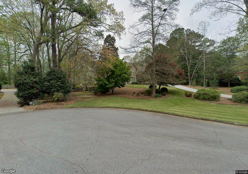
365 Petersford Way Unit 2 Alpharetta, GA 30004
Estimated Value: $1,069,000 - $1,257,000
4
Beds
4
Baths
3,688
Sq Ft
$317/Sq Ft
Est. Value
About This Home
This home is located at 365 Petersford Way Unit 2, Alpharetta, GA 30004 and is currently estimated at $1,170,267, approximately $317 per square foot. 365 Petersford Way Unit 2 is a home located in Fulton County with nearby schools including Crabapple Crossing Elementary School, Northwestern Middle School, and Milton High School.
Ownership History
Date
Name
Owned For
Owner Type
Purchase Details
Closed on
Jun 12, 2002
Sold by
Cox J Kevin J and Cox Dawn S
Bought by
Pauley Timothy G and Pauley Jennifer L
Current Estimated Value
Home Financials for this Owner
Home Financials are based on the most recent Mortgage that was taken out on this home.
Original Mortgage
$317,200
Outstanding Balance
$230,807
Interest Rate
6.86%
Mortgage Type
New Conventional
Estimated Equity
$939,460
Create a Home Valuation Report for This Property
The Home Valuation Report is an in-depth analysis detailing your home's value as well as a comparison with similar homes in the area
Home Values in the Area
Average Home Value in this Area
Purchase History
| Date | Buyer | Sale Price | Title Company |
|---|---|---|---|
| Pauley Timothy G | $396,500 | -- |
Source: Public Records
Mortgage History
| Date | Status | Borrower | Loan Amount |
|---|---|---|---|
| Open | Pauley Timothy G | $317,200 |
Source: Public Records
Tax History Compared to Growth
Tax History
| Year | Tax Paid | Tax Assessment Tax Assessment Total Assessment is a certain percentage of the fair market value that is determined by local assessors to be the total taxable value of land and additions on the property. | Land | Improvement |
|---|---|---|---|---|
| 2025 | $1,272 | $379,880 | $107,800 | $272,080 |
| 2023 | $10,436 | $369,720 | $89,560 | $280,160 |
| 2022 | $6,025 | $284,400 | $70,200 | $214,200 |
| 2021 | $7,218 | $248,160 | $60,520 | $187,640 |
| 2020 | $6,046 | $242,120 | $49,840 | $192,280 |
| 2019 | $1,200 | $242,120 | $49,840 | $192,280 |
| 2018 | $5,383 | $242,120 | $49,840 | $192,280 |
| 2017 | $6,035 | $232,800 | $47,920 | $184,880 |
| 2016 | $5,940 | $229,160 | $47,920 | $181,240 |
| 2015 | $6,975 | $229,160 | $47,920 | $181,240 |
| 2014 | $4,963 | $174,640 | $37,640 | $137,000 |
Source: Public Records
Map
Nearby Homes
- 12842 Waterside Dr Unit 2
- 85 Arabian Ave Unit 2
- 13015 Morningpark Cir Unit 1
- 13025 Morningpark Cir
- 12857 Waterside Dr
- 143 Nakomis Place
- 13125 Morningpark Cir
- 257 Lask Ln
- 12655 New Providence Rd
- 249 Lask Ln
- 13150 New Providence Rd
- 137 Quinn Way
- 245 Lask Ln
- 580 Stillhouse Ln Unit 2
- 12950 New Providence Rd
- 127 Quinn Way
- 237 Lask Ln
- 233 Lask Ln
- 113 Quinn Way
- 216 Lask Ln
- 355 Petersford Way
- 0 Dockbridge Way Unit 8632859
- 0 Dockbridge Way Unit 7242397
- 0 Dockbridge Way
- 375 Petersford Way
- 865 Dockbridge Way Unit 2
- 345 Petersford Way
- 350 Petersford Way
- 360 Petersford Way
- 855 Dockbridge Way Unit 2
- 385 Petersford Way
- 340 Petersford Way
- 335 Petersford Way
- 265 Trotter Run
- 845 Dockbridge Way Unit 2
- 330 Petersford Way
- 835 Dockbridge Way Unit 2
- 275 Trotter Run
- 325 Petersford Way
- 870 Dockbridge Way