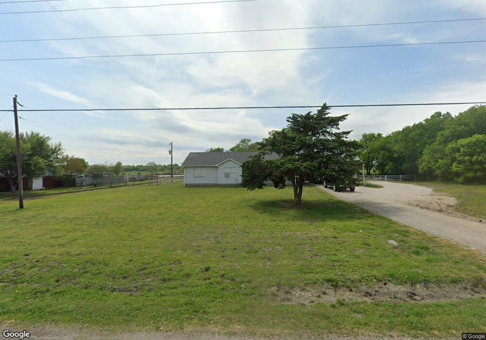
365 Rockport Rd Sherman, TX 75092
Estimated Value: $286,999 - $401,000
--
Bed
2
Baths
1,356
Sq Ft
$244/Sq Ft
Est. Value
About This Home
This home is located at 365 Rockport Rd, Sherman, TX 75092 and is currently estimated at $331,250, approximately $244 per square foot. 365 Rockport Rd is a home located in Grayson County with nearby schools including S&S Consolidated Elementary School, S&S Consolidated Middle School, and S. & S. Cons H.S..
Ownership History
Date
Name
Owned For
Owner Type
Purchase Details
Closed on
Apr 4, 2022
Sold by
Skaggs Robert Charles and Skaggs Tiffany Michelle
Bought by
Fierro Ramon and Fierro Courtney Mariah
Current Estimated Value
Home Financials for this Owner
Home Financials are based on the most recent Mortgage that was taken out on this home.
Original Mortgage
$206,196
Outstanding Balance
$192,998
Interest Rate
3.92%
Mortgage Type
FHA
Estimated Equity
$138,252
Purchase Details
Closed on
Feb 6, 2013
Sold by
Rolen Wanda L
Bought by
Skaggs Tiffany Michelle and Skaggs Robert Charles
Purchase Details
Closed on
Nov 19, 2009
Sold by
Rolen Donald and Rolen Wanda
Bought by
Rolen Wanda
Create a Home Valuation Report for This Property
The Home Valuation Report is an in-depth analysis detailing your home's value as well as a comparison with similar homes in the area
Home Values in the Area
Average Home Value in this Area
Purchase History
| Date | Buyer | Sale Price | Title Company |
|---|---|---|---|
| Fierro Ramon | -- | New Title Company Name | |
| Skaggs Tiffany Michelle | -- | None Available | |
| Rolen Wanda | -- | None Available |
Source: Public Records
Mortgage History
| Date | Status | Borrower | Loan Amount |
|---|---|---|---|
| Open | Fierro Ramon | $206,196 |
Source: Public Records
Tax History Compared to Growth
Tax History
| Year | Tax Paid | Tax Assessment Tax Assessment Total Assessment is a certain percentage of the fair market value that is determined by local assessors to be the total taxable value of land and additions on the property. | Land | Improvement |
|---|---|---|---|---|
| 2025 | $2,988 | $274,730 | $116,450 | $158,280 |
| 2024 | $4,200 | $281,323 | $0 | $0 |
| 2023 | $2,628 | $255,748 | $88,910 | $166,838 |
| 2022 | $4,206 | $250,095 | $74,800 | $175,295 |
| 2021 | $3,124 | $164,265 | $28,220 | $136,045 |
| 2020 | $2,924 | $149,074 | $28,220 | $120,854 |
| 2019 | $2,840 | $133,566 | $28,220 | $105,346 |
| 2018 | $2,251 | $115,604 | $28,220 | $87,384 |
| 2017 | $2,256 | $115,043 | $28,220 | $86,823 |
| 2016 | $1,958 | $99,832 | $23,205 | $76,627 |
| 2015 | $1,674 | $84,587 | $18,615 | $65,972 |
| 2014 | $1,644 | $83,095 | $18,020 | $65,075 |
Source: Public Records
Map
Nearby Homes
- 6514 Joyce Ln
- 1171 Rockport Rd
- 00 Primrose Ln
- 586 Pleasant Home Rd
- 3356 Old Dorchester Rd
- 2615 Rolling Hills Dr
- 1401 Cimmaron Trail
- 1404 Tejas Dr
- 10.96 Acres Wible Rd
- 750 Wible Rd
- TBD Wible Rd
- 1426 S Raven Dr
- 1407 Swan Ridge Dr
- 4501 Hawk Ln
- 4507 Falcon Dr
- 6935 S Farm To Market Road 1417
- 1415 Mallard Dr
- 1412 Ascot Ave
- 2134 Peggeys Cove
- 3508 Ballam St
- 389 Rockport Rd
- 303 Rockport Rd
- 417 Rockport Rd
- 312 Rockport Rd
- 288 Rockport Rd
- 453 Rockport Rd
- 340 Rockport Rd
- 282 Rockport Rd
- 245 Rockport Rd
- 481 Rockport Rd
- 246 Rockport Rd
- 284 Choctaw Est Cir
- 284 Choctaw Est Cir Unit LAND
- 284 Choctaw Est Cir
- 386 Rockport Rd
- 220 Rockport Rd
- 320 Choctaw Est Cir
- 509 Rockport Rd
- 328 Choctaw Est Cir
- 198 Rockport Rd