365 Rowland Ln Cutler, OH 45724
Estimated Value: $176,000 - $243,000
4
Beds
3
Baths
1,324
Sq Ft
$156/Sq Ft
Est. Value
About This Home
This home is located at 365 Rowland Ln, Cutler, OH 45724 and is currently estimated at $205,980, approximately $155 per square foot. 365 Rowland Ln is a home located in Washington County with nearby schools including Warren High School.
Ownership History
Date
Name
Owned For
Owner Type
Purchase Details
Closed on
Aug 31, 2006
Sold by
King Charles E and King Kimberly A
Bought by
King Charles E and King Kimberly A
Current Estimated Value
Home Financials for this Owner
Home Financials are based on the most recent Mortgage that was taken out on this home.
Original Mortgage
$93,600
Outstanding Balance
$38,128
Interest Rate
6.88%
Mortgage Type
New Conventional
Estimated Equity
$167,852
Purchase Details
Closed on
Apr 19, 2000
Bought by
King Charles E
Purchase Details
Closed on
Sep 8, 1988
Create a Home Valuation Report for This Property
The Home Valuation Report is an in-depth analysis detailing your home's value as well as a comparison with similar homes in the area
Home Values in the Area
Average Home Value in this Area
Purchase History
| Date | Buyer | Sale Price | Title Company |
|---|---|---|---|
| King Charles E | -- | None Available | |
| King Charles E | $7,300 | -- | |
| -- | -- | -- |
Source: Public Records
Mortgage History
| Date | Status | Borrower | Loan Amount |
|---|---|---|---|
| Open | King Charles E | $93,600 |
Source: Public Records
Tax History Compared to Growth
Tax History
| Year | Tax Paid | Tax Assessment Tax Assessment Total Assessment is a certain percentage of the fair market value that is determined by local assessors to be the total taxable value of land and additions on the property. | Land | Improvement |
|---|---|---|---|---|
| 2024 | $1,389 | $44,060 | $2,680 | $41,380 |
| 2023 | $1,389 | $44,060 | $2,680 | $41,380 |
| 2022 | $1,426 | $44,060 | $2,680 | $41,380 |
| 2021 | $1,230 | $37,540 | $2,970 | $34,570 |
| 2020 | $1,228 | $37,540 | $2,970 | $34,570 |
| 2019 | $1,212 | $37,540 | $2,970 | $34,570 |
| 2018 | $1,061 | $33,240 | $2,590 | $30,650 |
| 2017 | $1,056 | $33,240 | $2,590 | $30,650 |
| 2016 | $1,775 | $33,240 | $2,590 | $30,650 |
| 2015 | $662 | $26,220 | $2,510 | $23,710 |
| 2014 | $1,415 | $26,220 | $2,510 | $23,710 |
| 2013 | $628 | $26,220 | $2,510 | $23,710 |
Source: Public Records
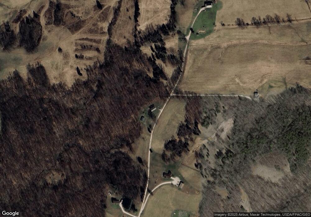
Map
Nearby Homes
- 2187 State Route 550
- 1022 Tullis Rd
- Lot 2 Shinn Rd
- Lot 2 Shinn Rd
- Lot 1 Shinn Rd
- 4000 C206
- 22775 Mayle Ridge Rd
- 7600 Marion St
- 0 Ohio 555 Unit 5146049
- 15901 Lathrop Rd
- 2109 Bell Rd
- 2207 Veto Rd
- 10270 Ohio 550
- State Route 550
- 2500 Robert Kelly Rd
- 5174 Lightner Ridge Rd
- 28 Mcgill Rd
- 10507 Ohio 339
- 4660 E J Ross Ln
- 0 Layman Rd Unit 5162075
- 250 Rowland Ln
- 532 Rowland Ln
- 235 Rowland Ln
- 2755 Ohio 550
- 600 Rowland Ln
- 2755 State Route 550
- 545 Yeager Ln
- 11 Rowland Ln
- 3049 State Route 550
- 440 Wilcoxen Rd
- 2850 State Route 550
- 3045 State Route 550
- 2703 2703 State Rt 550
- 507 Wilcoxen Rd
- 3010 State Route 550
- 0 Yeager Ln Unit M229334
- 0 Yeager Ln Unit M238573
- 0 Yeager Ln Unit 3813319
- 0 Yeager Ln Unit 3888087
- 351 Wilcoxen Rd