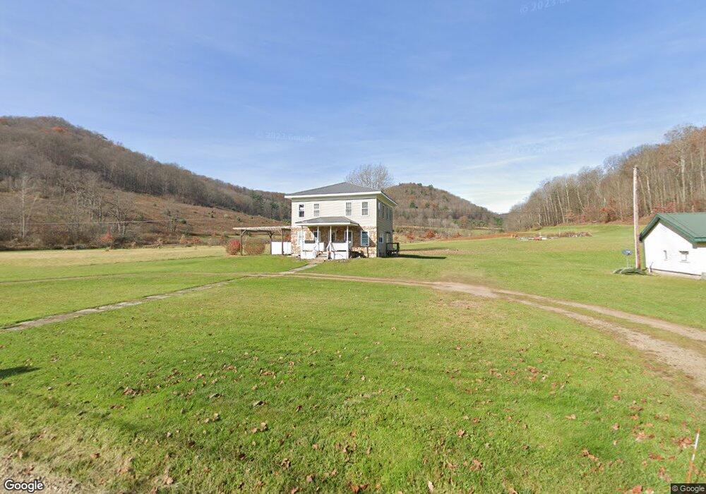
365 State Route 244 Coudersport, PA 16915
Estimated Value: $164,000
--
Bed
--
Bath
1,020
Sq Ft
$161/Sq Ft
Est. Value
About This Home
This home is located at 365 State Route 244, Coudersport, PA 16915 and is currently estimated at $164,000, approximately $160 per square foot. 365 State Route 244 is a home located in Potter County with nearby schools including Coudersport Area Elementary School and Coudersport Area Junior/Senior High School.
Ownership History
Date
Name
Owned For
Owner Type
Purchase Details
Closed on
May 6, 2011
Sold by
Ramsey Walter S and Ramsey Colleen M
Bought by
Ramsey Harley and Ramsey Kristen
Current Estimated Value
Purchase Details
Closed on
Oct 31, 2008
Sold by
Stilson Marjory M and Estate Of Robert R Stilson
Bought by
Ramsey Walter S and Ramsey Colleen M
Home Financials for this Owner
Home Financials are based on the most recent Mortgage that was taken out on this home.
Original Mortgage
$67,000
Outstanding Balance
$44,089
Interest Rate
6.13%
Mortgage Type
Future Advance Clause Open End Mortgage
Estimated Equity
$119,911
Create a Home Valuation Report for This Property
The Home Valuation Report is an in-depth analysis detailing your home's value as well as a comparison with similar homes in the area
Home Values in the Area
Average Home Value in this Area
Purchase History
| Date | Buyer | Sale Price | Title Company |
|---|---|---|---|
| Ramsey Harley | -- | None Available | |
| Ramsey Walter S | $97,000 | None Available |
Source: Public Records
Mortgage History
| Date | Status | Borrower | Loan Amount |
|---|---|---|---|
| Open | Ramsey Walter S | $67,000 |
Source: Public Records
Tax History Compared to Growth
Tax History
| Year | Tax Paid | Tax Assessment Tax Assessment Total Assessment is a certain percentage of the fair market value that is determined by local assessors to be the total taxable value of land and additions on the property. | Land | Improvement |
|---|---|---|---|---|
| 2025 | $2,163 | $30,010 | $3,320 | $26,690 |
| 2024 | $2,058 | $30,010 | $3,320 | $26,690 |
| 2023 | $1,998 | $30,010 | $3,320 | $26,690 |
| 2022 | $1,953 | $30,010 | $3,320 | $26,690 |
| 2021 | $1,953 | $30,010 | $3,320 | $26,690 |
| 2020 | $1,953 | $30,010 | $3,320 | $26,690 |
| 2019 | $1,953 | $30,010 | $3,320 | $26,690 |
| 2018 | $1,908 | $30,010 | $3,320 | $26,690 |
| 2017 | -- | $30,010 | $3,320 | $26,690 |
| 2016 | $1,878 | $28,460 | $3,760 | $24,700 |
| 2015 | -- | $30,010 | $3,320 | $26,690 |
| 2012 | -- | $30,010 | $3,320 | $26,690 |
Source: Public Records
Map
Nearby Homes
- 153 Pinneo Hill Rd
- 1656 Pennsylvania 44
- 000 Old Township Rd
- 2619 Eleven Mile Rd
- 443 S Branch Rd
- 38 Tennessee Ave
- 40 W Hebron Rd
- 176 Ford Hill
- 000 Canada Hollow Rd
- 1017 Dingman Run Rd
- 000 Post Hollow Rd
- 658 Post Hollow Rd
- 00 Pump Station Rd
- 5400 County Road 38
- 0 County Road 38 Unit 24219128
- 0 County Road 38 Unit S1624746
- 0 County Road 38 Unit 23089203
- 0 County Road 38 Unit S1597486
- 397 Kenyon Hollow Rd
- 5400 County Road 38
- 349 State Route 244 N
- 288 Pennsylvania 244
- 364 State Route 244
- 33 W Main St
- 53 W Main St
- 18 Toad Hollow Rd
- 55 W Main St
- 36 Toad Hollow Rd
- 209 Estes Hollow Rd
- 39 Toad Hollow Rd
- 58 Toad Hollow Rd
- 246 State Route 244
- 79 Toad Hollow Rd
- 0 W Main St
- 84 Toad Hollow Rd
- 215 State Route 244
- 277 W Main St
- 0 Pennsylvania 244
- 494 Pennsylvania 244
- 80 Rumsey St