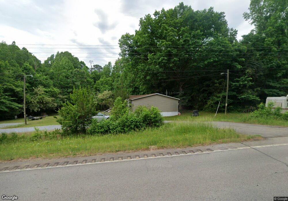
365 Us Highway 378 W Mc Cormick, SC 29835
Pleasant Lane NeighborhoodEstimated Value: $90,000 - $179,000
--
Bed
--
Bath
1,134
Sq Ft
$111/Sq Ft
Est. Value
About This Home
This home is located at 365 Us Highway 378 W, Mc Cormick, SC 29835 and is currently estimated at $125,459, approximately $110 per square foot. 365 Us Highway 378 W is a home with nearby schools including W.E. Parker Elementary School, Johnston-Edgefield-Trenton Middle School, and Strom Thurmond High School.
Ownership History
Date
Name
Owned For
Owner Type
Purchase Details
Closed on
May 12, 2014
Sold by
Vanderbilt Mortgage & Finance Inc
Bought by
Moss Franklin Roosevelt and Moss Rachael Ann
Current Estimated Value
Home Financials for this Owner
Home Financials are based on the most recent Mortgage that was taken out on this home.
Original Mortgage
$57,023
Outstanding Balance
$35,911
Interest Rate
4.37%
Mortgage Type
Seller Take Back
Estimated Equity
$89,548
Purchase Details
Closed on
Mar 7, 2013
Sold by
Anderson Calvin L
Bought by
Vanderbilt Mortgage & Finance Inc
Create a Home Valuation Report for This Property
The Home Valuation Report is an in-depth analysis detailing your home's value as well as a comparison with similar homes in the area
Home Values in the Area
Average Home Value in this Area
Purchase History
| Date | Buyer | Sale Price | Title Company |
|---|---|---|---|
| Moss Franklin Roosevelt | $59,900 | -- | |
| Vanderbilt Mortgage & Finance Inc | $2,500 | -- |
Source: Public Records
Mortgage History
| Date | Status | Borrower | Loan Amount |
|---|---|---|---|
| Open | Moss Franklin Roosevelt | $57,023 |
Source: Public Records
Tax History Compared to Growth
Tax History
| Year | Tax Paid | Tax Assessment Tax Assessment Total Assessment is a certain percentage of the fair market value that is determined by local assessors to be the total taxable value of land and additions on the property. | Land | Improvement |
|---|---|---|---|---|
| 2024 | -- | $280 | $280 | $0 |
| 2023 | $0 | $280 | $280 | $0 |
| 2022 | $0 | $280 | $280 | $0 |
| 2021 | $50 | $280 | $280 | $0 |
| 2020 | $50 | $280 | $280 | $0 |
| 2019 | -- | $280 | $280 | $0 |
| 2018 | -- | $280 | $280 | $0 |
| 2017 | -- | $280 | $280 | $0 |
| 2016 | -- | $280 | $280 | $0 |
| 2013 | -- | $420 | $420 | $0 |
Source: Public Records
Map
Nearby Homes
- 1b Moton Moore Rd
- 1a Moton Moore Rd
- Tbd Moton Moore Rd
- 0 Moton Moore Rd
- 300 Hwy 378 W
- 0 Ebony Rd Unit 543577
- 00 Gilchrist Rd
- 0 Upper Mill Rd Unit 132134
- Tbd Burton Dr
- 0 Gilchrist Rd
- 47 Burton Dr
- 0 Gilchrist Rd Unit 219311
- 00 Brocker Rd
- 400 Bowie Rd
- 1200-C Hwy 378 E
- 0 Callison Hwy Unit 24022377
- 1200-B Hwy 378 E
- 756 Christian Rd
- 1200-A Hwy 378 E
- 2946 Upper Mill Rd
- Lot 1 Sandrock Rd
- 3 Sandrock Rd
- 12 Tyler Trail
- 5 Sandrock Rd
- Lot 2 Sandrock Rd
- 5 Tyler Trail
- 27 Sandrock Rd
- 21 Sandrock Rd
- 408 Us Highway 378 W
- 428 Us Highway 378 W
- 434 Us Highway 378 W
- 452 Us Highway 378 W
- 454 Us Highway 378 W
- 90 Sandrock Rd
- 456 Us Highway 378 W
- 54 Moton Moore Rd
- 42 Moton Moore Rd
- 50 Moton Moore Rd
- 46 Moton Moore Rd
- 34 Moton Moore Rd