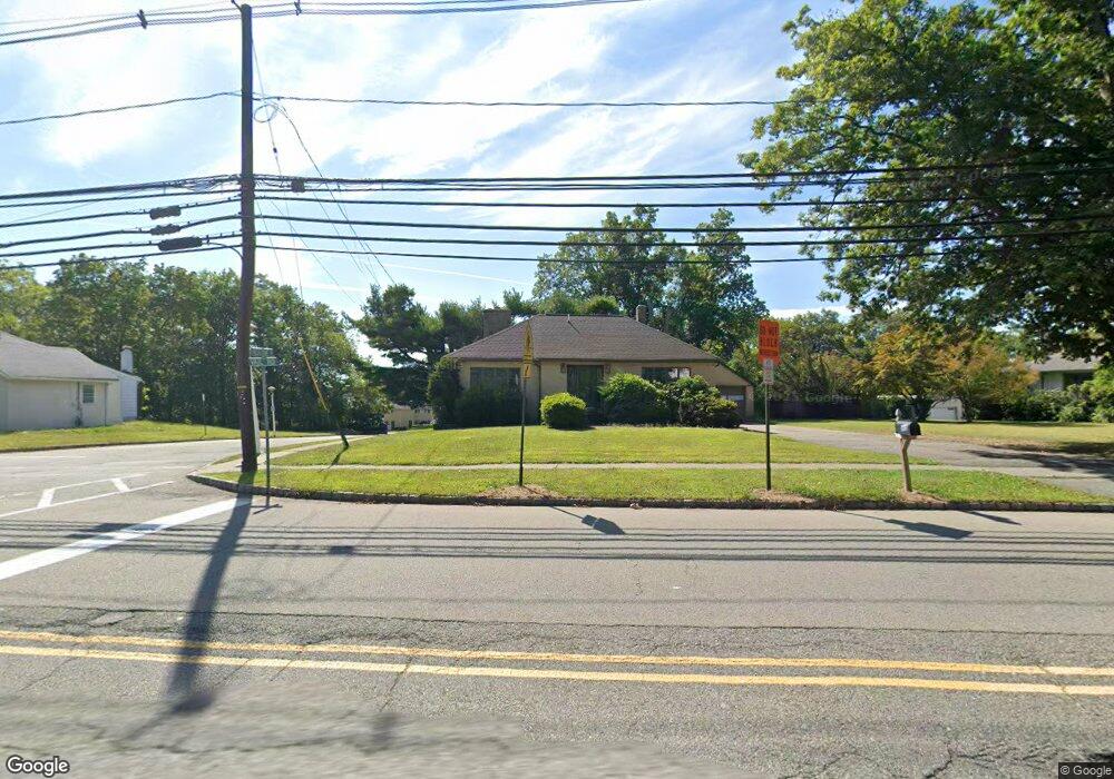
365 Vail Rd Parsippany, NJ 07054
Estimated Value: $623,186 - $862,000
--
Bed
--
Bath
1,735
Sq Ft
$422/Sq Ft
Est. Value
About This Home
This home is located at 365 Vail Rd, Parsippany, NJ 07054 and is currently estimated at $732,797, approximately $422 per square foot. 365 Vail Rd is a home located in Morris County with nearby schools including Northvail Elementary School, Central Middle School, and Parsippany High School.
Ownership History
Date
Name
Owned For
Owner Type
Purchase Details
Closed on
Oct 12, 1990
Bought by
Pasquale Carmen
Current Estimated Value
Create a Home Valuation Report for This Property
The Home Valuation Report is an in-depth analysis detailing your home's value as well as a comparison with similar homes in the area
Home Values in the Area
Average Home Value in this Area
Purchase History
| Date | Buyer | Sale Price | Title Company |
|---|---|---|---|
| Pasquale Carmen | -- | -- |
Source: Public Records
Tax History Compared to Growth
Tax History
| Year | Tax Paid | Tax Assessment Tax Assessment Total Assessment is a certain percentage of the fair market value that is determined by local assessors to be the total taxable value of land and additions on the property. | Land | Improvement |
|---|---|---|---|---|
| 2025 | $11,359 | $333,100 | $156,400 | $176,700 |
| 2024 | $11,149 | $333,100 | $156,400 | $176,700 |
| 2023 | $11,149 | $333,100 | $156,400 | $176,700 |
| 2022 | $10,423 | $333,100 | $156,400 | $176,700 |
| 2021 | $10,423 | $333,100 | $156,400 | $176,700 |
| 2020 | $10,200 | $333,100 | $156,400 | $176,700 |
| 2019 | $9,923 | $333,100 | $156,400 | $176,700 |
| 2018 | $9,703 | $333,100 | $156,400 | $176,700 |
| 2017 | $9,480 | $333,100 | $156,400 | $176,700 |
| 2016 | $9,310 | $333,100 | $156,400 | $176,700 |
| 2015 | $9,074 | $333,100 | $156,400 | $176,700 |
| 2014 | $8,950 | $333,100 | $156,400 | $176,700 |
Source: Public Records
Map
Nearby Homes
- 20 Druid Hill Dr
- 20 Sandra Dr
- 3 Woodhaven Rd
- 5 Twin Oaks Ct
- 12 Celtic Way
- 159 Ball Ave
- 2 Buckingham Rd
- 255 Knoll Rd
- 4 New Hampshire Ct
- 204 Lake Shore Dr
- 209 Raymound Blvd
- 193 Crown Point Rd Unit 193
- 123 Cardigan Ct Unit 123
- 490 Knoll Rd
- 31.5 Roosevelt Ave
- 30 Madison Ave
- 21 Nokomis Ave
- 2 Walnut St
- 53 Gordon Cir Unit 53
- 24 Leah Way