Estimated Value: $267,934 - $314,000
3
Beds
2
Baths
2,358
Sq Ft
$126/Sq Ft
Est. Value
About This Home
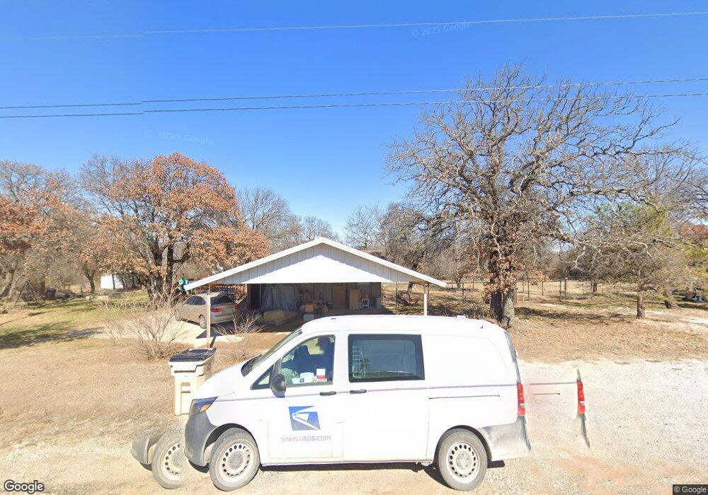
This home is located at 3650 Interstate 20 W, Baird, TX 79504 and is currently estimated at $297,984, approximately $126 per square foot. 3650 Interstate 20 W is a home located in Callahan County with nearby schools including Baird Elementary School, Baird High School, and Baird Middle School.
Ownership History
Date
Name
Owned For
Owner Type
Purchase Details
Closed on
May 31, 2022
Sold by
Lance Burleson
Bought by
Matlock Sharon
Current Estimated Value
Home Financials for this Owner
Home Financials are based on the most recent Mortgage that was taken out on this home.
Original Mortgage
$149,900
Outstanding Balance
$141,592
Interest Rate
5.11%
Mortgage Type
New Conventional
Estimated Equity
$156,392
Purchase Details
Closed on
Oct 30, 2019
Sold by
Burleson Lance T and Burleson Francesca A
Bought by
Burleson Lance T and Burleson Francesca A
Home Financials for this Owner
Home Financials are based on the most recent Mortgage that was taken out on this home.
Original Mortgage
$146,582
Interest Rate
3.65%
Mortgage Type
New Conventional
Purchase Details
Closed on
Jun 17, 2016
Sold by
Montgomery Gary and Montgomery Sandra
Bought by
Burleson Lance T
Home Financials for this Owner
Home Financials are based on the most recent Mortgage that was taken out on this home.
Original Mortgage
$149,785
Interest Rate
3.57%
Mortgage Type
VA
Create a Home Valuation Report for This Property
The Home Valuation Report is an in-depth analysis detailing your home's value as well as a comparison with similar homes in the area
Purchase History
| Date | Buyer | Sale Price | Title Company |
|---|---|---|---|
| Matlock Sharon | -- | Texas Pioneer Title | |
| Burleson Lance T | -- | None Available | |
| Burleson Lance T | -- | First Texas Title |
Source: Public Records
Mortgage History
| Date | Status | Borrower | Loan Amount |
|---|---|---|---|
| Open | Matlock Sharon | $149,900 | |
| Previous Owner | Burleson Lance T | $146,582 | |
| Previous Owner | Burleson Lance T | $149,785 |
Source: Public Records
Tax History
| Year | Tax Paid | Tax Assessment Tax Assessment Total Assessment is a certain percentage of the fair market value that is determined by local assessors to be the total taxable value of land and additions on the property. | Land | Improvement |
|---|---|---|---|---|
| 2025 | $1,806 | $270,360 | $17,260 | $253,100 |
| 2024 | $4,197 | $268,270 | $17,260 | $251,010 |
| 2023 | $4,085 | $259,590 | $17,260 | $242,330 |
| 2022 | $2,833 | $153,790 | $13,630 | $140,160 |
| 2021 | $2,695 | $146,750 | $13,630 | $133,120 |
| 2020 | $2,721 | $147,650 | $13,630 | $134,020 |
| 2019 | $2,883 | $148,550 | $13,630 | $134,920 |
| 2018 | $3,065 | $158,210 | $8,630 | $149,580 |
| 2017 | $3,107 | $158,210 | $8,630 | $149,580 |
| 2016 | $2,728 | $142,570 | $8,630 | $133,940 |
| 2015 | -- | $90,870 | $8,630 | $82,240 |
| 2014 | -- | $87,860 | $8,630 | $79,230 |
Source: Public Records
Map
Nearby Homes
- 91 County Road 525
- 4918 Private Road 5272
- 1005 S Access Rd
- 1024 S 4th St
- 184 County Road 129
- 1008 Savage Way
- 1009 Savage Way
- 924 Benelli Dr
- 917 Benelli Dr
- 916 Benelli Dr
- 925 Benelli Dr
- 909 Benelli Dr
- 706 Tanglewood Dr
- 901 Benelli Dr
- TBD Interstate 20
- 606 Bryant Rd
- 411 S 1st St
- 504 Oak St
- 618 Oak St
- 312 N 3rd St
- 3650 Interstate 20 W
- 3616 Interstate 20 W
- 3554 Interstate 20 W
- 3516 Interstate 20 W
- 3542 County Road 268
- 3798 Interstate 20 W
- 3468 Interstate 20 W
- 3816 Interstate 20 W
- 3428 Interstate 20 W
- 3433 Interstate 20 W
- 40 Saddle Ridge Dr
- 16 Saddle Ridge Dr
- 342 County Road 119
- 344 Greenside
- 3444 County Road 268
- 430 Greenside
- 463 County Road 119
- Lot 58 Greenside
- 300 Greenside
- 474 Greenside
Your Personal Tour Guide
Ask me questions while you tour the home.