3650 New Ray Rd Central Point, OR 97502
Estimated Value: $300,000 - $638,000
4
Beds
3
Baths
2,720
Sq Ft
$189/Sq Ft
Est. Value
About This Home
This home is located at 3650 New Ray Rd, Central Point, OR 97502 and is currently estimated at $513,813, approximately $188 per square foot. 3650 New Ray Rd is a home located in Jackson County with nearby schools including Richardson Elementary School, Scenic Middle School, and Crater High School.
Ownership History
Date
Name
Owned For
Owner Type
Purchase Details
Closed on
May 25, 2011
Sold by
Cranston Eric
Bought by
Cranston Beth A
Current Estimated Value
Home Financials for this Owner
Home Financials are based on the most recent Mortgage that was taken out on this home.
Original Mortgage
$50,000
Outstanding Balance
$34,133
Interest Rate
4.73%
Mortgage Type
Purchase Money Mortgage
Estimated Equity
$479,681
Purchase Details
Closed on
May 23, 2011
Sold by
Cranston Beth
Bought by
Cranston Beth A
Home Financials for this Owner
Home Financials are based on the most recent Mortgage that was taken out on this home.
Original Mortgage
$50,000
Outstanding Balance
$34,133
Interest Rate
4.73%
Mortgage Type
Purchase Money Mortgage
Estimated Equity
$479,681
Create a Home Valuation Report for This Property
The Home Valuation Report is an in-depth analysis detailing your home's value as well as a comparison with similar homes in the area
Purchase History
| Date | Buyer | Sale Price | Title Company |
|---|---|---|---|
| Cranston Beth A | $96,500 | First American Title | |
| Cranston Beth A | -- | First American Title |
Source: Public Records
Mortgage History
| Date | Status | Borrower | Loan Amount |
|---|---|---|---|
| Open | Cranston Beth A | $50,000 | |
| Open | Cranston Beth A | $104,000 |
Source: Public Records
Tax History
| Year | Tax Paid | Tax Assessment Tax Assessment Total Assessment is a certain percentage of the fair market value that is determined by local assessors to be the total taxable value of land and additions on the property. | Land | Improvement |
|---|---|---|---|---|
| 2026 | $388 | $28,740 | -- | $28,740 |
| 2025 | $379 | $30,030 | -- | $30,030 |
| 2024 | $379 | $29,160 | $111,960 | $29,160 |
| 2022 | $359 | $317,210 | $108,700 | $208,510 |
| 2021 | $176 | $307,980 | $105,540 | $202,440 |
| 2020 | $218 | $299,010 | $102,470 | $196,540 |
| 2019 | $194 | $281,860 | $96,600 | $185,260 |
| 2018 | $211 | $273,660 | $93,780 | $179,880 |
| 2017 | $206 | $273,660 | $93,780 | $179,880 |
| 2016 | $215 | $257,960 | $88,390 | $169,570 |
| 2015 | $3,157 | $257,960 | $88,390 | $169,570 |
| 2014 | $3,081 | $243,160 | $83,320 | $159,840 |
Source: Public Records
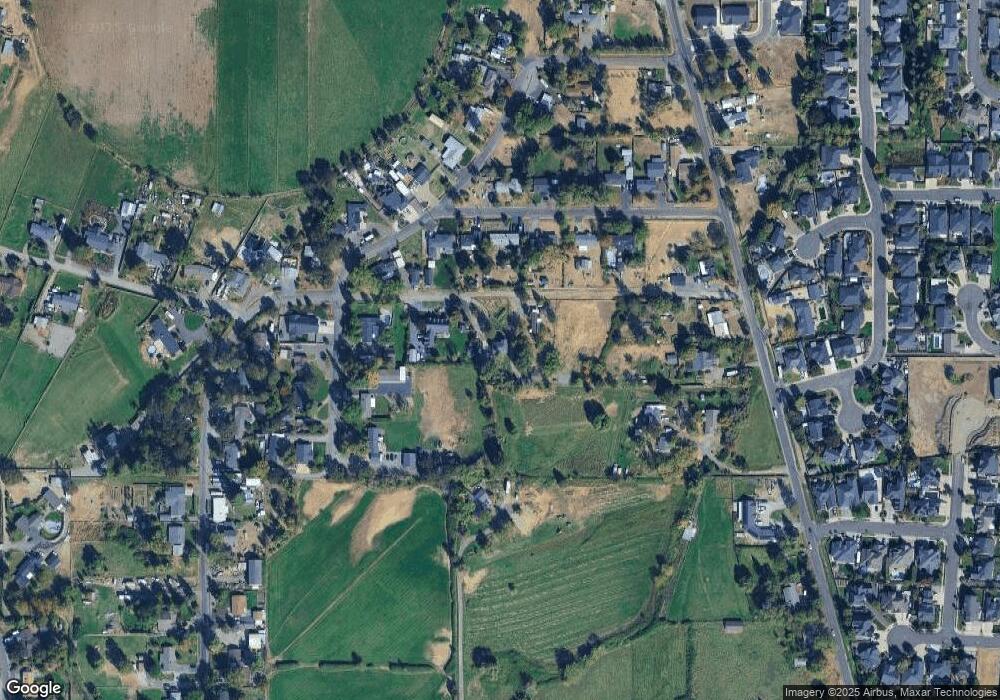
Map
Nearby Homes
- 420 Mayberry Ln
- 884 Mendolia Way
- 3288 Grant Rd
- 3371 Freeland Rd
- 3307 Freeland Rd
- 3220 Freeland Rd
- 296 Brandon St
- 407 Silver Creek Dr
- 404 Silver Creek Dr
- 166 Nadine Ln
- 209 Corcoran Ln
- 349 W Pine St
- 871 Holley Way
- 895 Holley Way
- 1134 Steamboat Dr
- 626 Griffin Oaks Dr
- 659 Blue Moon Dr
- 1630 Timothy St
- 185 Logan Ave
- 436 Cheney Loop
- 3654 New Ray Rd
- 3620 New Ray Rd
- 2515 Robin Ln
- 2537 Robin Ln
- 2495 Robin Ln
- 2551 Robin Ln
- 2471 Robin Ln
- 3498 Oak Pine Way
- 3422 Oak Pine Way
- 3536 Oak Pine Way
- 3450 Oak Pine Way
- 2469 Robin Ln
- 2580 Beall Ln
- 3521 Grant Rd
- 0 New Ray Rd
- 2512 Robin Ln
- 2494 Robin Ln
- 3545 Oak Pine Way
- 2482 Robin Ln
- 3471 Oak Pine Way
Your Personal Tour Guide
Ask me questions while you tour the home.