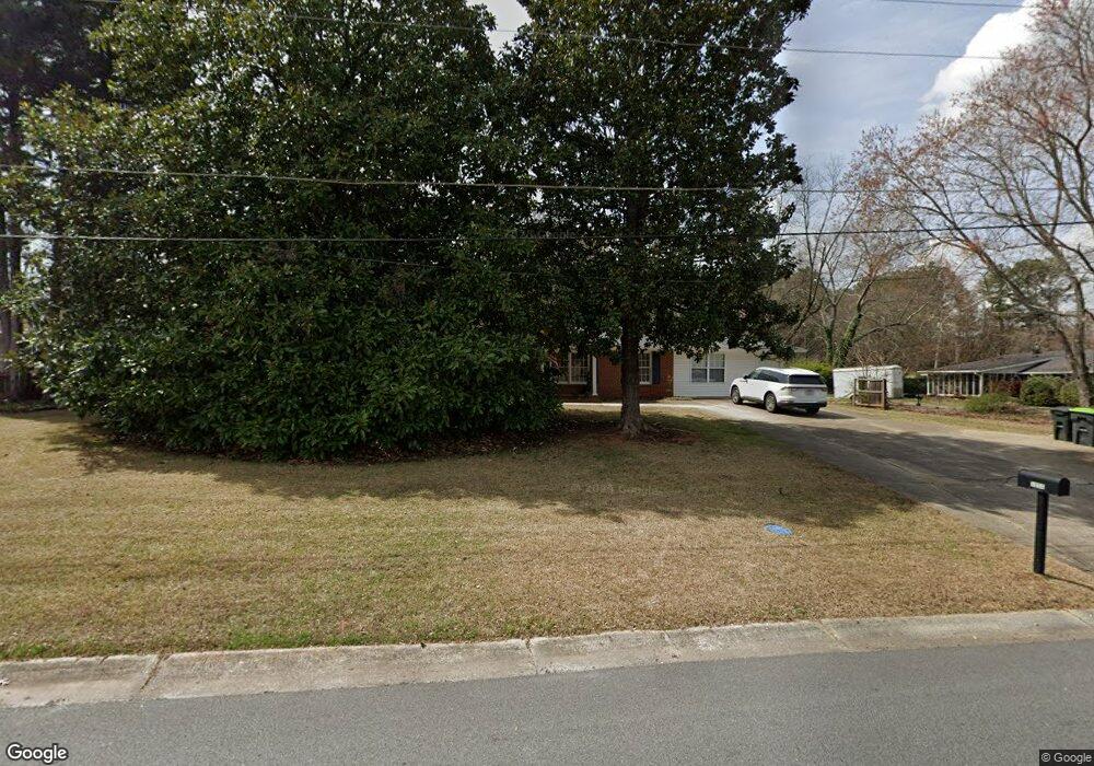
3650 William Paul Dr Unit B Austell, GA 30106
Estimated Value: $368,000 - $454,000
1
Bed
1
Bath
2,455
Sq Ft
$167/Sq Ft
Est. Value
About This Home
This home is located at 3650 William Paul Dr Unit B, Austell, GA 30106 and is currently estimated at $410,239, approximately $167 per square foot. 3650 William Paul Dr Unit B is a home located in Cobb County with nearby schools including Russell Elementary School, Floyd Middle School, and Osborne High School.
Ownership History
Date
Name
Owned For
Owner Type
Purchase Details
Closed on
May 10, 2021
Sold by
Lamb George Edward
Bought by
Baker Deryl
Current Estimated Value
Home Financials for this Owner
Home Financials are based on the most recent Mortgage that was taken out on this home.
Original Mortgage
$236,000
Outstanding Balance
$212,047
Interest Rate
3.1%
Mortgage Type
New Conventional
Estimated Equity
$198,192
Create a Home Valuation Report for This Property
The Home Valuation Report is an in-depth analysis detailing your home's value as well as a comparison with similar homes in the area
Home Values in the Area
Average Home Value in this Area
Purchase History
We collect this data history from publicly available records. To have your information removed, we recommend requesting removal directly through your county’s website.
| Date | Buyer | Sale Price | Title Company |
|---|---|---|---|
| Baker Deryl | $295,000 | None Available |
Source: Public Records
Mortgage History
We collect this data history from publicly available records. To have your information removed, we recommend requesting removal directly through your county’s website.
| Date | Status | Borrower | Loan Amount |
|---|---|---|---|
| Open | Baker Deryl | $236,000 |
Source: Public Records
Tax History
| Year | Tax Paid | Tax Assessment Tax Assessment Total Assessment is a certain percentage of the fair market value that is determined by local assessors to be the total taxable value of land and additions on the property. | Land | Improvement |
|---|---|---|---|---|
| 2025 | $5,867 | $194,732 | $32,000 | $162,732 |
| 2024 | $5,871 | $194,732 | $32,000 | $162,732 |
| 2023 | $4,071 | $135,016 | $15,200 | $119,816 |
| 2022 | $3,581 | $118,000 | $15,000 | $103,000 |
| 2021 | $371 | $76,648 | $14,000 | $62,648 |
| 2020 | $358 | $72,028 | $14,000 | $58,028 |
| 2019 | $358 | $72,028 | $14,000 | $58,028 |
| 2018 | $332 | $63,388 | $9,600 | $53,788 |
| 2017 | $307 | $63,388 | $9,600 | $53,788 |
| 2016 | $263 | $48,488 | $8,000 | $40,488 |
| 2015 | $281 | $48,488 | $8,000 | $40,488 |
| 2014 | $255 | $39,748 | $0 | $0 |
Source: Public Records
Map
Nearby Homes
- 1001 Carlton Way SW
- 3791 Pacific Dr
- 3579 Dyer Parke Ln SW
- 3720 Majestic Dr SW
- 790 Heyford View
- 971 Canyon Trail SW
- 1271 Farmers Loop Lot 14
- 1295 Farmers Loop Lot 9
- 1279 Farmers Loop Lot 12
- 1275 Farmers Loop Lot 13
- 1291 Farmers Loop Lot 10
- 1267 Farmers Loop Lot 15
- 1279 Farmers Loop SW Unit Lot 12
- 1283 Farmers Loop SW
- 1295 Farmers Loop SW Unit LOT 9
- 1283 Farmers Loop SW Unit LOT 11
- 1315 Farmers Loop SW
- 1271 Farmers Loop SW
- 1209 Farmers Loop SW
- 1279 Farmers Loop SW
- 3650 William Paul Dr
- 3660 William Paul Dr
- 1025 Hurt Rd
- 3651 William Paul Dr
- 1045 Hurt Rd
- 3670 William Paul Dr
- 3661 William Paul Dr
- 3641 William Paul Dr
- 3671 William Paul Dr
- 3680 William Paul Dr
- 3638 Kelsey Chase Ct
- 991 Hurt Rd
- 3637 Kelsey Chase Ct
- 3679 William Paul Dr
- 3690 William Paul Dr
- 3632 Kelsey Chase Ct
- 3710 Pacific Dr
- 3720 Pacific Dr
- 1055 Hurt Rd
- 3685 William Paul Dr
Your Personal Tour Guide
Ask me questions while you tour the home.