3651 Wood Point Rd Brandon Township, MI 48462
Estimated Value: $395,000 - $466,878
4
Beds
3
Baths
2,329
Sq Ft
$192/Sq Ft
Est. Value
About This Home
This home is located at 3651 Wood Point Rd, Brandon Township, MI 48462 and is currently estimated at $446,720, approximately $191 per square foot. 3651 Wood Point Rd is a home located in Oakland County with nearby schools including Brandon High School.
Ownership History
Date
Name
Owned For
Owner Type
Purchase Details
Closed on
Apr 27, 2017
Sold by
Elaine L Randall
Bought by
Stewart Gary and Stewart Amanda
Current Estimated Value
Home Financials for this Owner
Home Financials are based on the most recent Mortgage that was taken out on this home.
Interest Rate
4.03%
Purchase Details
Closed on
Jun 25, 2014
Sold by
Ware Scott L and Randall Elaine L
Bought by
Scott L Ware & Elaine L Randall Family T and Ware Scott L
Purchase Details
Closed on
May 7, 1996
Sold by
Corston Lloyd O
Bought by
Ware Scott L
Home Financials for this Owner
Home Financials are based on the most recent Mortgage that was taken out on this home.
Original Mortgage
$127,300
Interest Rate
8.1%
Create a Home Valuation Report for This Property
The Home Valuation Report is an in-depth analysis detailing your home's value as well as a comparison with similar homes in the area
Home Values in the Area
Average Home Value in this Area
Purchase History
| Date | Buyer | Sale Price | Title Company |
|---|---|---|---|
| Stewart Gary | -- | -- | |
| Scott L Ware & Elaine L Randall Family T | -- | None Available | |
| Ware Scott L | $134,000 | -- |
Source: Public Records
Mortgage History
| Date | Status | Borrower | Loan Amount |
|---|---|---|---|
| Closed | Stewart Gary | -- | |
| Open | Stewart Gary | $232,200 | |
| Previous Owner | Ware Scott L | $127,300 |
Source: Public Records
Tax History Compared to Growth
Tax History
| Year | Tax Paid | Tax Assessment Tax Assessment Total Assessment is a certain percentage of the fair market value that is determined by local assessors to be the total taxable value of land and additions on the property. | Land | Improvement |
|---|---|---|---|---|
| 2024 | $2,657 | $178,080 | $0 | $0 |
| 2023 | $2,534 | $151,890 | $0 | $0 |
| 2022 | $4,653 | $133,740 | $0 | $0 |
| 2021 | $4,410 | $127,530 | $0 | $0 |
| 2020 | $2,320 | $122,760 | $0 | $0 |
| 2019 | $4,279 | $116,880 | $0 | $0 |
| 2018 | $4,150 | $106,680 | $0 | $0 |
| 2017 | $2,770 | $92,300 | $0 | $0 |
| 2016 | $2,766 | $90,860 | $0 | $0 |
| 2015 | -- | $83,560 | $0 | $0 |
| 2014 | -- | $74,280 | $0 | $0 |
| 2011 | -- | $65,350 | $0 | $0 |
Source: Public Records
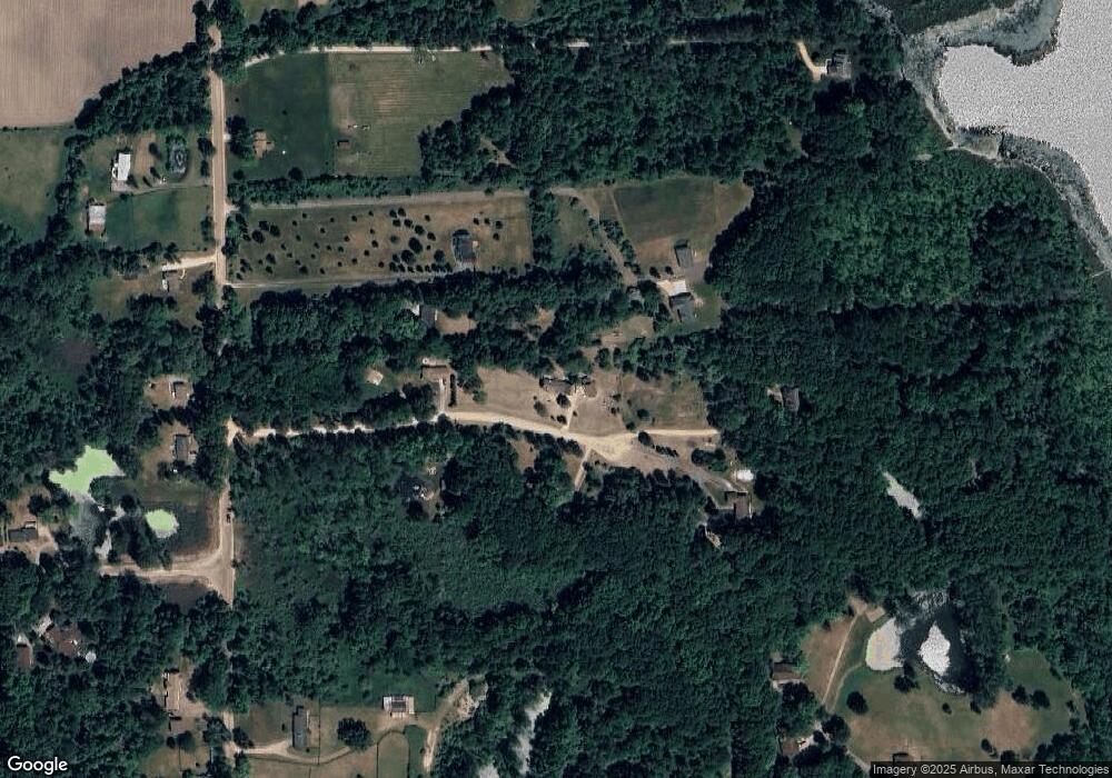
Map
Nearby Homes
- 00 S Sashabaw Rd
- VL Sashabaw Rd
- 550 Pheasant Ridge Ct
- 820 Lockwood Rd
- 360 N Hadley Rd
- 320 Nancy Bird
- 485 N Hadley Rd
- 2165 Dublin Ct
- 4888 Oakwood Rd
- 12 Parker Ln
- 135 Parker Ln
- 1525 Perry Lake Rd
- 1795 Oakwood Rd
- 056 Burrus Rd
- 2679 Lakeview Dr
- VL Chevrolet Ave
- 1632 Woodfield St
- 597 Country Meadows Trail
- 5640 Hummer Lake Rd
- 5600 Garretson Ln
- 3651 Wood Point Dr
- 136 N Sashabaw Rd
- 3720 Wood Point Dr
- 3610 Wood Point Dr
- 102 N Sashabaw Rd
- 124 N Sashabaw Rd
- 3601 Wood Point Dr
- 3741 Wood Point Dr
- 31 S Sashabaw Rd
- 100 Sumac Dr
- 105 N Sashabaw Rd
- 0 N Sashabaw Rd Unit 5582601
- 000 S Sashabaw Rd
- 0000 S Sashabaw Rd
- 0 N Sashabaw Rd Unit 5510790
- 0 S Sashabaw Rd
- 0 N Sashabaw Rd Unit 216102476
- 0 N Sashabaw Rd Unit 217034502
- 166 N Sashabaw Rd
- 8 S Sashabaw Rd