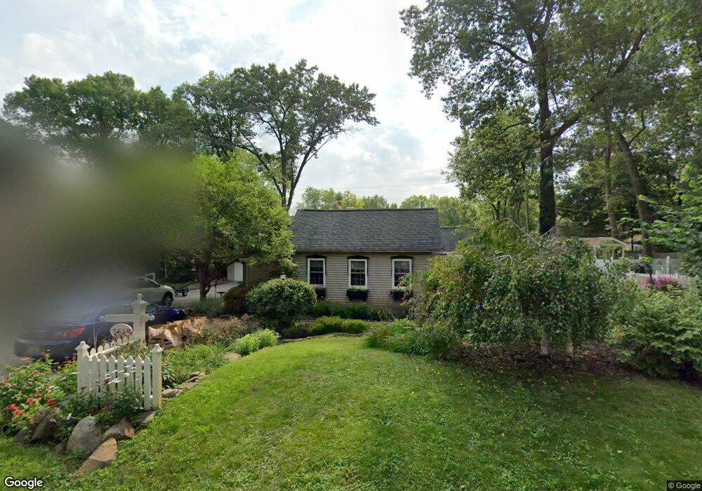
3651 Woodview Ave West Bloomfield, MI 48324
Estimated Value: $274,187 - $303,000
2
Beds
2
Baths
1,232
Sq Ft
$233/Sq Ft
Est. Value
About This Home
This home is located at 3651 Woodview Ave, West Bloomfield, MI 48324 and is currently estimated at $286,797, approximately $232 per square foot. 3651 Woodview Ave is a home located in Oakland County with nearby schools including Our Lady Of Refuge School and St Mary's Preparatory School.
Ownership History
Date
Name
Owned For
Owner Type
Purchase Details
Closed on
Jun 3, 2011
Sold by
Dery Michael W and Dery Camille J
Bought by
Dery Family Living Trust
Current Estimated Value
Home Financials for this Owner
Home Financials are based on the most recent Mortgage that was taken out on this home.
Original Mortgage
$78,800
Interest Rate
4.8%
Mortgage Type
New Conventional
Purchase Details
Closed on
May 24, 2011
Sold by
Dery Michael W and Dery Camille J
Bought by
Dery Michael W and Dery Camille J
Home Financials for this Owner
Home Financials are based on the most recent Mortgage that was taken out on this home.
Original Mortgage
$78,800
Interest Rate
4.8%
Mortgage Type
New Conventional
Create a Home Valuation Report for This Property
The Home Valuation Report is an in-depth analysis detailing your home's value as well as a comparison with similar homes in the area
Home Values in the Area
Average Home Value in this Area
Purchase History
| Date | Buyer | Sale Price | Title Company |
|---|---|---|---|
| Dery Family Living Trust | -- | None Available | |
| Dery Michael W | -- | None Available |
Source: Public Records
Mortgage History
| Date | Status | Borrower | Loan Amount |
|---|---|---|---|
| Closed | Dery Michael W | $78,800 |
Source: Public Records
Tax History Compared to Growth
Tax History
| Year | Tax Paid | Tax Assessment Tax Assessment Total Assessment is a certain percentage of the fair market value that is determined by local assessors to be the total taxable value of land and additions on the property. | Land | Improvement |
|---|---|---|---|---|
| 2024 | $1,637 | $117,820 | $0 | $0 |
| 2022 | $1,567 | $96,760 | $27,050 | $69,710 |
| 2021 | $2,381 | $93,400 | $0 | $0 |
| 2020 | $1,515 | $91,000 | $27,050 | $63,950 |
| 2018 | $2,265 | $76,480 | $22,550 | $53,930 |
| 2015 | -- | $64,190 | $0 | $0 |
| 2014 | -- | $59,000 | $0 | $0 |
| 2011 | -- | $51,490 | $0 | $0 |
Source: Public Records
Map
Nearby Homes
- 3632 Fieldview Ave
- 6768 Buckland Ave
- 6903 Dandison Blvd
- 3965 Carrick Ave
- 3991 Fieldview Ave
- 3950 Bradmore Ave
- 7146 Arrowood Dr
- 6707 Heatherwood Dr
- 6978 Colony Dr
- 3641 Green Lake Rd
- 7369 Sweetbriar
- 4066 Green Lake Rd
- 0000 Langtoft
- 6675 Langtoft St
- 4245 Bunker Ave
- 6420 Commerce Rd
- 7110 Commerce Rd
- 4212 Greendale Ave
- 7337 Richardson Rd
- 4335 Crestdale Ave
- 3617 Woodview Ave
- 3679 Woodview Ave
- 3650 Sancroft Ave
- 3642 Sancroft Ave
- 3670 Sancroft Ave
- 3638 Sancroft Ave
- 3620 Woodview Ave
- 3680 Sancroft Ave
- 3611 Woodview Ave
- 0 Woodview Ave
- 00 Woodview Ave
- 3614 Woodview Ave
- 3634 Sancroft Ave
- 3676 Woodview Ave
- 3691 Woodview Ave
- 0 Woodview Unit 218022677
- 0 Woodview Unit R218114043
- 0 Woodview Unit R219010232
- 0 Woodview Unit R219080291
- 0 Woodview Unit R2200029192