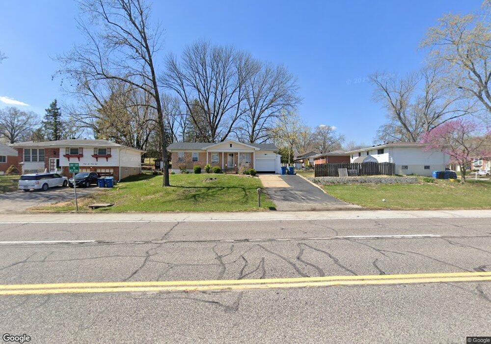
3652 Reavis Barracks Rd Saint Louis, MO 63125
Mehlville NeighborhoodEstimated Value: $145,000 - $250,000
2
Beds
2
Baths
1,037
Sq Ft
$207/Sq Ft
Est. Value
About This Home
This home is located at 3652 Reavis Barracks Rd, Saint Louis, MO 63125 and is currently estimated at $215,087, approximately $207 per square foot. 3652 Reavis Barracks Rd is a home located in St. Louis County with nearby schools including Bierbaum Elementary School, Margaret Buerkle Middle School, and Mehlville High School.
Ownership History
Date
Name
Owned For
Owner Type
Purchase Details
Closed on
Mar 18, 2024
Sold by
Garavaglia Amanda L and Garavaglia Michael L
Bought by
Hancock David Michael
Current Estimated Value
Purchase Details
Closed on
Mar 14, 2024
Sold by
Hancock Courtney
Bought by
Hancock David Michael
Purchase Details
Closed on
Sep 5, 2007
Sold by
Schmidt William H and Schmidt Mary M
Bought by
Garavaglia Michael L and Garavaglia Amanda L
Home Financials for this Owner
Home Financials are based on the most recent Mortgage that was taken out on this home.
Original Mortgage
$117,740
Interest Rate
6.72%
Mortgage Type
FHA
Create a Home Valuation Report for This Property
The Home Valuation Report is an in-depth analysis detailing your home's value as well as a comparison with similar homes in the area
Home Values in the Area
Average Home Value in this Area
Purchase History
| Date | Buyer | Sale Price | Title Company |
|---|---|---|---|
| Hancock David Michael | -- | Freedom Title | |
| Hancock David Michael | -- | Freedom Title | |
| Garavaglia Michael L | $129,900 | None Available |
Source: Public Records
Mortgage History
| Date | Status | Borrower | Loan Amount |
|---|---|---|---|
| Previous Owner | Garavaglia Michael L | $117,740 |
Source: Public Records
Tax History Compared to Growth
Tax History
| Year | Tax Paid | Tax Assessment Tax Assessment Total Assessment is a certain percentage of the fair market value that is determined by local assessors to be the total taxable value of land and additions on the property. | Land | Improvement |
|---|---|---|---|---|
| 2025 | $2,524 | $39,070 | $14,080 | $24,990 |
| 2024 | $2,524 | $37,130 | $7,050 | $30,080 |
| 2023 | $2,492 | $37,130 | $7,050 | $30,080 |
| 2022 | $2,035 | $28,080 | $7,050 | $21,030 |
| 2021 | $1,806 | $28,080 | $7,050 | $21,030 |
| 2020 | $1,802 | $26,640 | $8,460 | $18,180 |
| 2019 | $1,797 | $26,640 | $8,460 | $18,180 |
| 2018 | $1,672 | $22,360 | $5,850 | $16,510 |
| 2017 | $1,669 | $22,360 | $5,850 | $16,510 |
| 2016 | $1,701 | $21,860 | $5,040 | $16,820 |
| 2015 | $1,595 | $21,860 | $5,040 | $16,820 |
| 2014 | $1,443 | $19,550 | $4,390 | $15,160 |
Source: Public Records
Map
Nearby Homes
- 2216 Apple Bud Ln
- 2215 Apple Bud Ln
- 2460 Lampong Dr Unit 100C
- 1275 Gardens Circle Dr Unit A
- 1275 Gardens Circle Dr Unit E
- 1800 Deborah Dr
- 2245 Pecan Dr
- 2261 Eleanor Kay Dr
- 1153 Calley Dr Unit 1153
- 3809 Tahquitz Dr
- 2414 Via Miralesta Dr
- 846 Dumont Place
- 2324 Birch Dr
- 2444 Via Miralesta Dr
- 1716 Mayenne Ct Unit E
- 4203 Lions Chase Dr
- 853 Dumont Place Unit B
- 824 Dumont Place Unit C
- 2337 Birch Dr
- 1725 Herault Place Unit G
- 2200 Apple Bud Ln
- 2208 Apple Bud Ln
- 3644 Reavis Barracks Rd
- 2212 Apple Bud Ln
- 3615 Apple Orchard Ln
- 3611 Apple Orchard Ln
- 3619 Apple Orchard Ln
- 3636 Reavis Barracks Rd
- 2201 Apple Bud Ln
- 2209 Apple Orchard Ln
- 3607 Apple Orchard Ln
- 3623 Apple Orchard Ln
- 2226 Apple Bud Ln
- 3603 Apple Orchard Ln
- 2211 Apple Bud Ln
- 2219 Apple Bud Ln
- 3616 Apple Orchard Ln
- 3612 Apple Orchard Ln
- 3620 Apple Orchard Ln
- 3641 Reavis Barracks Rd