3653 Tresham Ln Central Point, OR 97502
Estimated Value: $490,790 - $745,000
5
Beds
2
Baths
2,424
Sq Ft
$239/Sq Ft
Est. Value
About This Home
This home is located at 3653 Tresham Ln, Central Point, OR 97502 and is currently estimated at $578,930, approximately $238 per square foot. 3653 Tresham Ln is a home located in Jackson County with nearby schools including Sams Valley Elementary School, Hanby Middle School, and Crater High School.
Ownership History
Date
Name
Owned For
Owner Type
Purchase Details
Closed on
Aug 30, 2012
Sold by
Watkins Lupe
Bought by
Watkins Larry J
Current Estimated Value
Home Financials for this Owner
Home Financials are based on the most recent Mortgage that was taken out on this home.
Original Mortgage
$315,000
Interest Rate
3.47%
Mortgage Type
Reverse Mortgage Home Equity Conversion Mortgage
Create a Home Valuation Report for This Property
The Home Valuation Report is an in-depth analysis detailing your home's value as well as a comparison with similar homes in the area
Home Values in the Area
Average Home Value in this Area
Purchase History
| Date | Buyer | Sale Price | Title Company |
|---|---|---|---|
| Watkins Larry J | -- | Amerititle |
Source: Public Records
Mortgage History
| Date | Status | Borrower | Loan Amount |
|---|---|---|---|
| Closed | Watkins Larry J | $315,000 |
Source: Public Records
Tax History Compared to Growth
Tax History
| Year | Tax Paid | Tax Assessment Tax Assessment Total Assessment is a certain percentage of the fair market value that is determined by local assessors to be the total taxable value of land and additions on the property. | Land | Improvement |
|---|---|---|---|---|
| 2025 | $3,271 | $311,910 | $126,870 | $185,040 |
| 2024 | $3,271 | $302,830 | $123,170 | $179,660 |
| 2023 | $3,174 | $294,010 | $119,580 | $174,430 |
| 2022 | $3,085 | $294,010 | $119,580 | $174,430 |
| 2021 | $2,970 | $285,450 | $116,090 | $169,360 |
| 2020 | $2,897 | $277,140 | $112,710 | $164,430 |
| 2019 | $2,821 | $261,240 | $106,240 | $155,000 |
| 2018 | $2,733 | $253,640 | $103,150 | $150,490 |
| 2017 | $2,986 | $253,640 | $103,150 | $150,490 |
| 2016 | $2,897 | $239,090 | $97,220 | $141,870 |
| 2015 | $2,788 | $239,090 | $97,220 | $141,870 |
| 2014 | $2,742 | $225,370 | $91,640 | $133,730 |
Source: Public Records
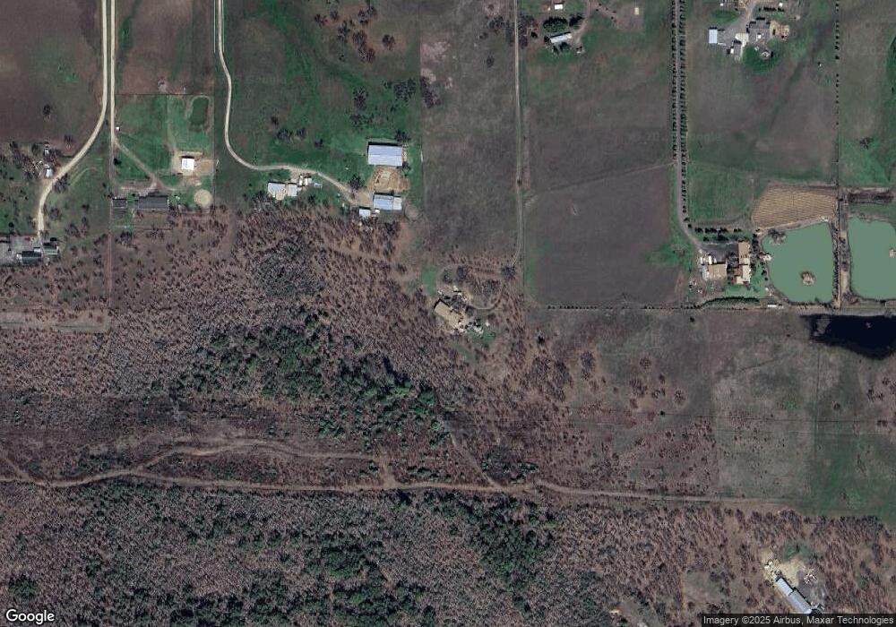
Map
Nearby Homes
- 10695 Killdee Ave
- 10695 Kildee Ave
- 3388 McMartin Ln
- 11515 Michael Rd
- 11615 Michael Rd
- 250 Robleda Dr
- 395 Robleda Dr
- 0 Duggan Rd Unit 220198974
- 377 Pelton Ln
- 11441 Meadows Rd
- 13007 Perry Rd
- 10115 Ramsey Rd
- 4223 Merita Terrace
- 13355 Weowna Way
- 4413 Merita Terrace
- 180 Glass Ln
- 8785 Blackwell Rd Unit North Side
- 8785 Blackwell Rd Unit South Side
- 8785 Blackwell Rd
- 6251 Ventura Ln
- 3792 Tresham Ln
- 3311 Tresham Ln
- 3805 Tresham Ln
- 3301 Tresham Ln
- 0 Tresham Ln Unit 100065719
- 0 Tresham Ln Unit 100077794
- 0 Tresham Ln Unit 102921048
- 3847 Tresham Ln
- 10561 Wheeler Rd
- 10707 Kildee Ave
- 3318 Tresham Ln
- 3251 Tresham Ln
- 3730 Tresham Ln
- 3308 Tresham Ln
- 3899 Tresham Ln
- 11110 Duggan Rd
- 3686 Tresham Ln
- 11097 Dennis Rd
- 0 Kildee Ave
- 8635 Oregon 234