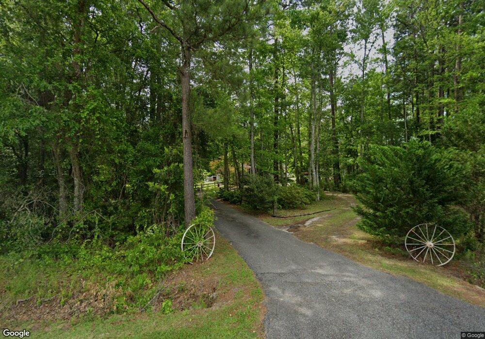
3654 Highway 472 Conway, SC 29526
Estimated Value: $296,000 - $373,845
2
Beds
2
Baths
1,083
Sq Ft
$300/Sq Ft
Est. Value
About This Home
This home is located at 3654 Highway 472, Conway, SC 29526 and is currently estimated at $324,615, approximately $299 per square foot. 3654 Highway 472 is a home located in Horry County with nearby schools including Kingston Elementary School, Conway Middle School, and Conway High School.
Ownership History
Date
Name
Owned For
Owner Type
Purchase Details
Closed on
Mar 16, 2005
Sold by
Bell Joyce Lynn Lupo
Bought by
Bell Joyce Lynn Lupo and Bell Patrick
Current Estimated Value
Purchase Details
Closed on
Mar 7, 2002
Sold by
Lupo Elton R
Bought by
Bell Joyce Lynn Lupo
Create a Home Valuation Report for This Property
The Home Valuation Report is an in-depth analysis detailing your home's value as well as a comparison with similar homes in the area
Home Values in the Area
Average Home Value in this Area
Purchase History
| Date | Buyer | Sale Price | Title Company |
|---|---|---|---|
| Bell Joyce Lynn Lupo | -- | -- | |
| Bell Joyce Lynn Lupo | -- | -- |
Source: Public Records
Tax History Compared to Growth
Tax History
| Year | Tax Paid | Tax Assessment Tax Assessment Total Assessment is a certain percentage of the fair market value that is determined by local assessors to be the total taxable value of land and additions on the property. | Land | Improvement |
|---|---|---|---|---|
| 2024 | $401 | $19,375 | $15,417 | $3,958 |
| 2023 | $401 | $5,175 | $2,640 | $2,535 |
| 2021 | $365 | $8,927 | $4,955 | $3,972 |
| 2020 | $354 | $8,927 | $4,955 | $3,972 |
| 2019 | $354 | $8,927 | $4,955 | $3,972 |
| 2018 | $325 | $7,264 | $3,958 | $3,306 |
| 2017 | $310 | $4,842 | $2,638 | $2,204 |
| 2016 | -- | $4,842 | $2,638 | $2,204 |
| 2015 | $310 | $4,843 | $2,639 | $2,204 |
| 2014 | $288 | $4,843 | $2,639 | $2,204 |
Source: Public Records
Map
Nearby Homes
- 3700 Highway 19
- 3390 Highway 19
- 183 Kellys Cove Dr
- Lot 4 Kellys Cove Dr
- 3695 S Carolina 905
- 319 Pickney Ct
- 222 Highway 471
- TBD Old Reaves Ferry Rd Unit TBD Old Highway 90
- TBD Old Reaves Ferry Rd
- TBD Old Reaves Ferry Rd Unit 147.38 Acres
- 709 Bull Farm Ct
- 133 Alpharetta Ct
- 4037 Highway 905
- 5653 Highway 668
- TBD 22.66 Berley Mc Rd
- 2835 Pecan Ln
- 926 Eula Dr
- 274 Morris Rd Unit 284 Morris Rd
- 270 Morris Rd
- 2763 Highway 905
- 3657 Highway 472
- 3657 Highway 472 Unit For Comp/Info Purpos
- 3649 Highway 472
- 3631 Highway 472
- 3620 Highway 472
- 3671 Highway 472
- 3616 Highway 472
- 3621 Highway 472
- 3683 Highway 472
- 3696 Highway 472
- 3695 Highway 472
- 3707 Highway 472
- 3546 Highway 472
- 3721 Highway 472
- 3655 Highway 472
- 3655 Hwy. 472 NW Conway St
- 3733 Highway 472
- 3649 Inland Dr
- 3745 Highway 472
- 3751 Highway 472
