3655 Mockingbird Ln Catawissa, MO 63015
Estimated Value: $241,000 - $426,000
4
Beds
3
Baths
1,700
Sq Ft
$195/Sq Ft
Est. Value
About This Home
This home is located at 3655 Mockingbird Ln, Catawissa, MO 63015 and is currently estimated at $331,357, approximately $194 per square foot. 3655 Mockingbird Ln is a home located in Franklin County with nearby schools including Pacific High School.
Ownership History
Date
Name
Owned For
Owner Type
Purchase Details
Closed on
Apr 27, 2016
Sold by
Spuhl Raymond J and Spuhl Tammy J
Bought by
Votaw Martin and Votaw Catherine
Current Estimated Value
Home Financials for this Owner
Home Financials are based on the most recent Mortgage that was taken out on this home.
Original Mortgage
$200,000
Outstanding Balance
$159,473
Interest Rate
3.71%
Mortgage Type
New Conventional
Estimated Equity
$171,884
Create a Home Valuation Report for This Property
The Home Valuation Report is an in-depth analysis detailing your home's value as well as a comparison with similar homes in the area
Home Values in the Area
Average Home Value in this Area
Purchase History
| Date | Buyer | Sale Price | Title Company |
|---|---|---|---|
| Votaw Martin | -- | -- |
Source: Public Records
Mortgage History
| Date | Status | Borrower | Loan Amount |
|---|---|---|---|
| Open | Votaw Martin | $200,000 |
Source: Public Records
Tax History Compared to Growth
Tax History
| Year | Tax Paid | Tax Assessment Tax Assessment Total Assessment is a certain percentage of the fair market value that is determined by local assessors to be the total taxable value of land and additions on the property. | Land | Improvement |
|---|---|---|---|---|
| 2024 | $2,941 | $39,313 | $0 | $0 |
| 2023 | $2,941 | $39,313 | $0 | $0 |
| 2022 | $2,558 | $37,143 | $0 | $0 |
| 2021 | $2,546 | $37,143 | $0 | $0 |
| 2020 | $2,296 | $33,463 | $0 | $0 |
| 2019 | $2,293 | $33,463 | $0 | $0 |
| 2018 | $2,243 | $32,038 | $0 | $0 |
| 2017 | $2,227 | $32,038 | $0 | $0 |
| 2016 | $2,083 | $29,648 | $0 | $0 |
| 2015 | $2,027 | $29,648 | $0 | $0 |
| 2014 | $1,989 | $29,592 | $0 | $0 |
Source: Public Records
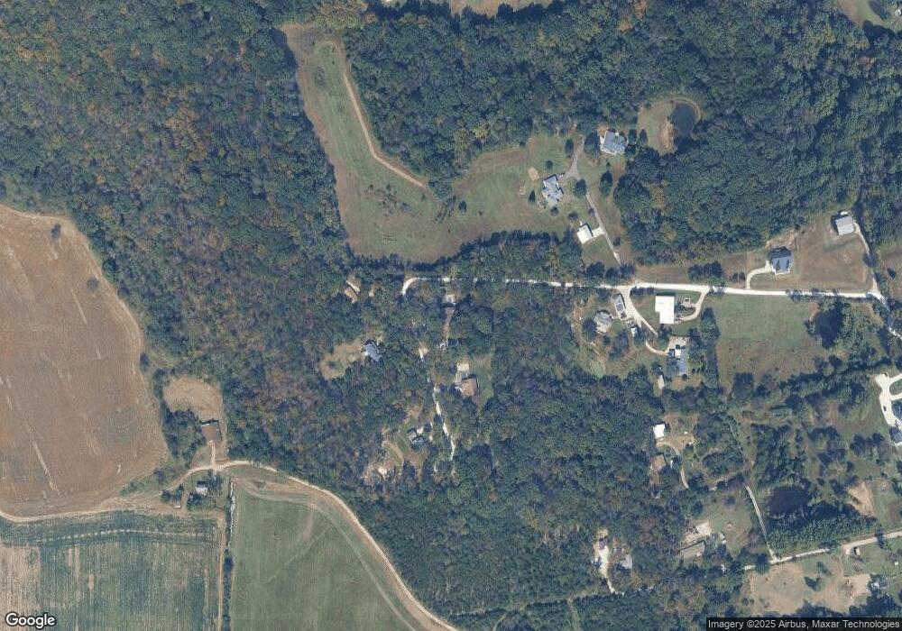
Map
Nearby Homes
- 3736 Jefferson St
- 1085 Frisco Dr
- 4061 Elm Dr
- Lot 27 N Shore Dr
- 1393 & 1395 N Shore Dr
- 1129 & 1133 N Shore Dr
- 1109 & 1113 N Shore Dr
- 40+ Lots N Shore Dr
- 1157 N Shore Dr
- 1320 & 1330 Lake Shore Dr
- 4150 S Shore Dr
- 4284 & 4288 S Shore Dr
- 4276 & 4280 S Shore Dr
- 4268 & 4272 S Shore Dr
- 4412 & 4416 S Shore Dr
- 4420 & 4424 S Shore Dr
- 4186 S Shore Dr
- Lots 14&15 Evergreen St
- 4134 Evergreen St
- 4123 Evergreen St
- 3661 Mockingbird Ln
- 3658 Mockingbird Ln
- 3654 Mockingbird Ln
- 3664 Mockingbird Ln
- 3665 Mockingbird Ln
- 1160 Dorothy Place
- 1148 Dorothy Place
- 1152 Dorothy Place
- 1167 Meramec St
- 1199 Meramec St
- 1148 Summit 1173 Ave
- 1173 Meramec St
- 380 Garden Meadows
- 1103 Dorothy Place
- 11481173 Summit Dr
- 1126 Washington Ave
- 1103 Summit Dr Unit 1107
- 1148 Summit Dr
- 316 Garden Meadows
- 1168 Meramec St