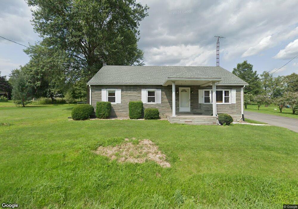
3655 State Route 44 Allenwood, PA 17810
Estimated Value: $198,545 - $232,000
3
Beds
1
Bath
1,440
Sq Ft
$147/Sq Ft
Est. Value
About This Home
This home is located at 3655 State Route 44, Allenwood, PA 17810 and is currently estimated at $212,136, approximately $147 per square foot. 3655 State Route 44 is a home located in Union County with nearby schools including Warrior Run High School, Watsontown Christian Academy, and Spring View.
Ownership History
Date
Name
Owned For
Owner Type
Purchase Details
Closed on
Mar 8, 2019
Sold by
Dske Rentals Llc
Bought by
Hollenbach Wendy R
Current Estimated Value
Home Financials for this Owner
Home Financials are based on the most recent Mortgage that was taken out on this home.
Original Mortgage
$50,000
Outstanding Balance
$43,959
Interest Rate
4.4%
Mortgage Type
Unknown
Estimated Equity
$168,177
Purchase Details
Closed on
Dec 29, 2008
Sold by
Pancoe Stephen J and Katherman James D
Bought by
Platt Michael S and Platt Olivia C
Home Financials for this Owner
Home Financials are based on the most recent Mortgage that was taken out on this home.
Original Mortgage
$116,000
Interest Rate
6.08%
Mortgage Type
FHA
Create a Home Valuation Report for This Property
The Home Valuation Report is an in-depth analysis detailing your home's value as well as a comparison with similar homes in the area
Home Values in the Area
Average Home Value in this Area
Purchase History
| Date | Buyer | Sale Price | Title Company |
|---|---|---|---|
| Hollenbach Wendy R | $150,000 | Attorney Only | |
| Hollenbach Wendy R | $150,000 | None Available | |
| Platt Michael S | $145,000 | None Available |
Source: Public Records
Mortgage History
| Date | Status | Borrower | Loan Amount |
|---|---|---|---|
| Open | Hollenbach Wendy R | $50,000 | |
| Closed | Hollenbach Wendy R | $50,000 | |
| Previous Owner | Platt Michael S | $116,000 |
Source: Public Records
Tax History Compared to Growth
Tax History
| Year | Tax Paid | Tax Assessment Tax Assessment Total Assessment is a certain percentage of the fair market value that is determined by local assessors to be the total taxable value of land and additions on the property. | Land | Improvement |
|---|---|---|---|---|
| 2025 | $1,788 | $100,200 | $25,000 | $75,200 |
| 2024 | $1,791 | $100,200 | $25,000 | $75,200 |
| 2023 | $1,916 | $100,200 | $25,000 | $75,200 |
| 2022 | $1,971 | $100,200 | $25,000 | $75,200 |
| 2021 | $1,934 | $100,200 | $25,000 | $75,200 |
| 2020 | $1,918 | $100,200 | $25,000 | $75,200 |
| 2019 | $1,897 | $100,200 | $25,000 | $75,200 |
| 2018 | $1,921 | $100,200 | $25,000 | $75,200 |
| 2017 | $1,807 | $100,200 | $25,000 | $75,200 |
| 2016 | $1,711 | $100,200 | $25,000 | $75,200 |
| 2015 | -- | $100,200 | $25,000 | $75,200 |
| 2014 | -- | $101,700 | $26,500 | $75,200 |
Source: Public Records
Map
Nearby Homes
- 246 Bridge Ave
- 7 Alvira Ct
- 0 Us Route 15 Hwy
- 397 N Hill Rd
- 2162 Devitt Camp Rd
- 248 Delaware Dr
- 2695 Turbot Ave
- 261 Delaware Dr
- 2620 Turbot Ave
- 15429 U S 15
- 1595 Turbot Ave
- 1822 White Deer Pike
- 818 Main St Unit 820
- 0 Fornwalt Ln Unit 20-100886
- 5 W 7th St
- 215 E 8th St
- 140 Riverwood Rd
- 444 Frederick Dr
- 21 Main St
- 159 Grandview Dr
- 490 Columbia Ave
- 3623 State Route 44
- 3648 State Route 44
- 474 Columbia Ave
- 3686 State Route 44
- 462 Columbia Ave
- 483 Columbia Ave
- 452 Columbia Ave
- 453 Columbia Ave
- 443 Columbia Ave
- 00 Route 15 Hwy
- 430 Columbia Ave
- 3759 State Route 44
- 417 Columbia Ave
- 3779 State Route 44
- 17079 Us Route 15
- 17041 Us Route 15
- 17041 Us Route 15
- 17049 Us Route 15
- 17126 Us Route 15