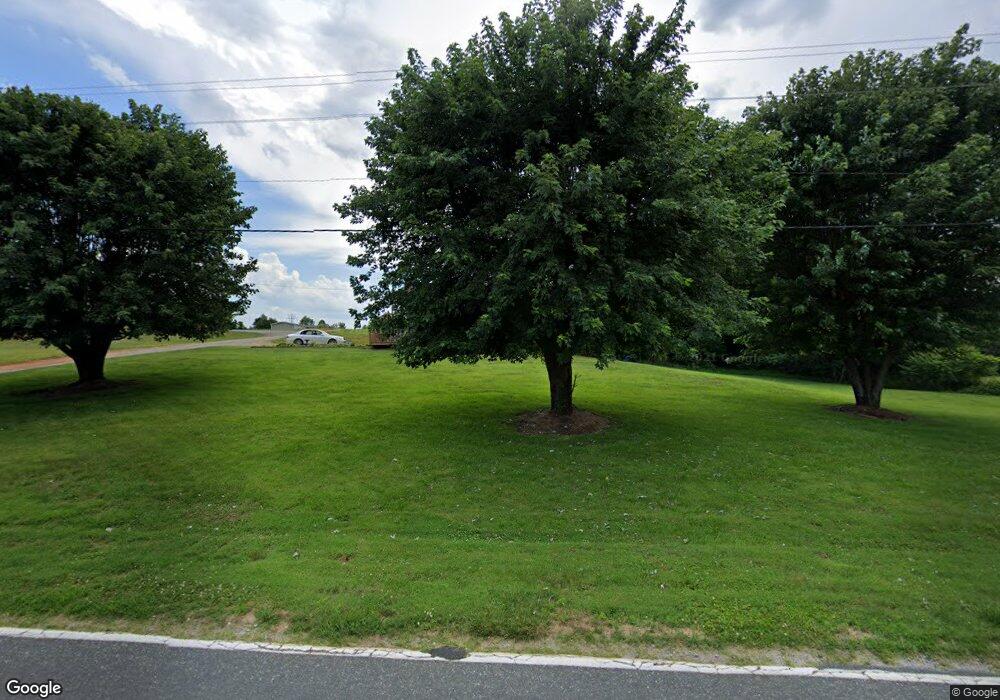
3659 Bennett Rd Morganton, NC 28655
Estimated Value: $213,932 - $248,000
3
Beds
2
Baths
1,152
Sq Ft
$199/Sq Ft
Est. Value
About This Home
This home is located at 3659 Bennett Rd, Morganton, NC 28655 and is currently estimated at $228,733, approximately $198 per square foot. 3659 Bennett Rd is a home located in Burke County with nearby schools including W.A. Young Elementary School, Table Rock Middle School, and Freedom High School.
Ownership History
Date
Name
Owned For
Owner Type
Purchase Details
Closed on
Jul 8, 2021
Sold by
Mccurry Jerry
Bought by
Mccurry Debra and Mccurry Jerry
Current Estimated Value
Home Financials for this Owner
Home Financials are based on the most recent Mortgage that was taken out on this home.
Original Mortgage
$87,000
Interest Rate
2.9%
Mortgage Type
New Conventional
Create a Home Valuation Report for This Property
The Home Valuation Report is an in-depth analysis detailing your home's value as well as a comparison with similar homes in the area
Home Values in the Area
Average Home Value in this Area
Purchase History
| Date | Buyer | Sale Price | Title Company |
|---|---|---|---|
| Mccurry Debra | -- | None Available |
Source: Public Records
Mortgage History
| Date | Status | Borrower | Loan Amount |
|---|---|---|---|
| Closed | Mccurry Debra | $87,000 |
Source: Public Records
Tax History Compared to Growth
Tax History
| Year | Tax Paid | Tax Assessment Tax Assessment Total Assessment is a certain percentage of the fair market value that is determined by local assessors to be the total taxable value of land and additions on the property. | Land | Improvement |
|---|---|---|---|---|
| 2025 | $1,017 | $140,104 | $18,477 | $121,627 |
| 2024 | $1,020 | $140,104 | $18,477 | $121,627 |
| 2023 | $1,020 | $140,104 | $18,477 | $121,627 |
| 2022 | $928 | $105,715 | $12,477 | $93,238 |
| 2021 | $922 | $105,715 | $12,477 | $93,238 |
| 2020 | $918 | $105,715 | $12,477 | $93,238 |
| 2019 | $891 | $105,715 | $12,477 | $93,238 |
| 2018 | $834 | $98,334 | $12,477 | $85,857 |
| 2017 | $832 | $98,334 | $12,477 | $85,857 |
| 2016 | $812 | $98,334 | $12,477 | $85,857 |
| 2015 | $809 | $98,334 | $12,477 | $85,857 |
| 2014 | $808 | $98,334 | $12,477 | $85,857 |
| 2013 | $808 | $98,334 | $12,477 | $85,857 |
Source: Public Records
Map
Nearby Homes
- 2215 Conley Rd
- 5029 Scott Rd
- 5872 Fisher Davis Rd
- 5930 Fisher Davis Rd
- 6091 Nowlings Chapel Rd
- 4467 Patti Clymer Dr Unit 1
- 5251 Mount Olive Church Rd
- 5983 Bollinger Loop
- 4617 Bristol Dr Unit 13
- 4283 5th Ct
- 3712 Blankenship Dr
- 2130 South Dr Unit Lot 34
- 4815 Mount Olive Church Rd
- 3541 Blankenship Dr
- 4270 Aaron Ct
- 4418 Bristol Dr
- 4482 Bristol Dr Unit 25
- 4542 Bristol Dr Unit 22
- 4629 Bristol Dr Unit 14
- 4254 Plantation Dr Unit 35
- 5355 Blumie Carswell Dr
- 5370 Blumie Carswell Dr
- 3646 Bennett Rd Unit 3684
- 2390 Conley Rd
- 3684 Bennett Rd
- V/L Blumie Carswell Dr
- 2399 Conley Rd
- 5396 Blumie Carswell Dr
- 2353 Conley Rd
- 2408 Conley Rd
- 2375 Conley Rd
- 2324 Conley Rd
- 3717 Bennett Rd
- 2424 Conley Rd
- 5453 Blumie Carswell Dr
- 2333 Conley Rd
- 2323 Conley Rd
- 2438 Conley Rd
- 2438 Conley Rd
- 3718 Bennett Rd
