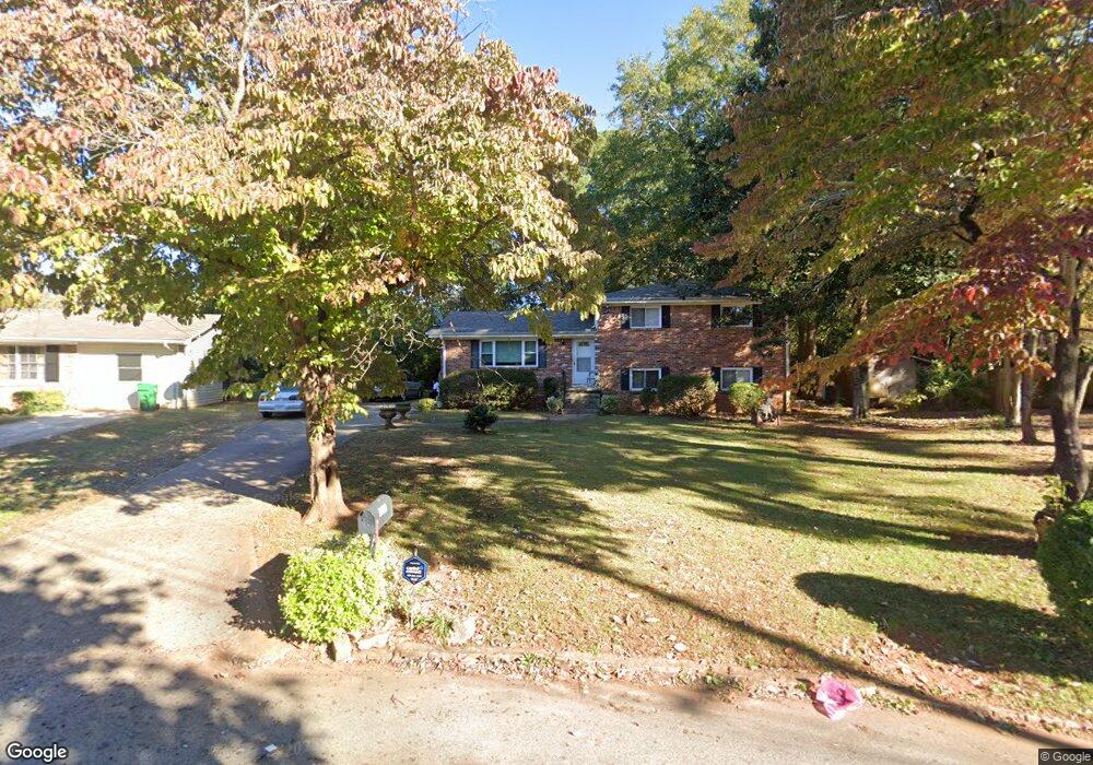
3659 Brookcrest Cir Unit 2 Decatur, GA 30032
Estimated Value: $257,398 - $300,000
4
Beds
2
Baths
2,033
Sq Ft
$139/Sq Ft
Est. Value
About This Home
This home is located at 3659 Brookcrest Cir Unit 2, Decatur, GA 30032 and is currently estimated at $282,850, approximately $139 per square foot. 3659 Brookcrest Cir Unit 2 is a home located in DeKalb County with nearby schools including Snapfinger Elementary School, Columbia Middle School, and Columbia High School.
Ownership History
Date
Name
Owned For
Owner Type
Purchase Details
Closed on
Aug 11, 2005
Sold by
Waymon Robert J and Waymon Jean G
Bought by
Rushing Michael and Rushing Amie
Current Estimated Value
Home Financials for this Owner
Home Financials are based on the most recent Mortgage that was taken out on this home.
Original Mortgage
$118,800
Outstanding Balance
$69,115
Interest Rate
7.48%
Mortgage Type
New Conventional
Estimated Equity
$213,735
Create a Home Valuation Report for This Property
The Home Valuation Report is an in-depth analysis detailing your home's value as well as a comparison with similar homes in the area
Home Values in the Area
Average Home Value in this Area
Purchase History
| Date | Buyer | Sale Price | Title Company |
|---|---|---|---|
| Rushing Michael | $148,500 | -- |
Source: Public Records
Mortgage History
| Date | Status | Borrower | Loan Amount |
|---|---|---|---|
| Open | Rushing Michael | $118,800 |
Source: Public Records
Tax History Compared to Growth
Tax History
| Year | Tax Paid | Tax Assessment Tax Assessment Total Assessment is a certain percentage of the fair market value that is determined by local assessors to be the total taxable value of land and additions on the property. | Land | Improvement |
|---|---|---|---|---|
| 2025 | $410 | $100,280 | $52,000 | $48,280 |
| 2024 | $446 | $96,920 | $52,000 | $44,920 |
| 2023 | $446 | $68,720 | $31,720 | $37,000 |
| 2022 | $401 | $59,680 | $16,000 | $43,680 |
| 2021 | $402 | $58,960 | $16,000 | $42,960 |
| 2020 | $406 | $53,720 | $16,000 | $37,720 |
| 2019 | $394 | $47,240 | $16,000 | $31,240 |
| 2018 | $291 | $36,360 | $4,080 | $32,280 |
| 2017 | $354 | $32,280 | $4,080 | $28,200 |
| 2016 | $281 | $28,080 | $4,080 | $24,000 |
| 2014 | $155 | $16,200 | $4,080 | $12,120 |
Source: Public Records
Map
Nearby Homes
- 3651 Tulip Dr
- 1733 Hollyhock Terrace
- 3682 Daisy Dr
- 1729 W Austin Rd
- 3513 Larkspur Terrace
- 3519 Larkspur Terrace
- 3705 Daisy Dr
- 3711 Daisy Dr
- 1669 Freedom Valley
- 1603 Hollyhock Terrace
- 1674 Freedom Valley
- 3699 Larkspur Terrace
- 3738 Larkspur Terrace
- 3531 Tulip Dr
- 1803 Hollyhock Terrace
- 4366 Glenwood Pkwy
- 3465 Tulip Dr
- 1581 Hollyhock Terrace
- 3842 Brookcrest Cir
- 3401 Tulip Dr
- 3665 Brookcrest Cir Unit 2
- 1660 Liberty Valley
- 1666 Liberty Valley Unit 2
- 1654 Liberty Valley
- 3671 Brookcrest Cir Unit 2
- 3647 Brookcrest Cir
- 3650 Tulip Dr
- 3656 Tulip Dr
- 3644 Tulip Dr
- 3658 Brookcrest Cir
- 3677 Brookcrest Cir
- 1648 Liberty Valley
- 3641 Brookcrest Cir Unit 2
- 3662 Tulip Dr
- 1678 Liberty Valley
- 3674 Brookcrest Cir
- 1669 Liberty Valley
- 1653 Liberty Valley
- 3640 Brookcrest Cir
- 3638 Tulip Dr