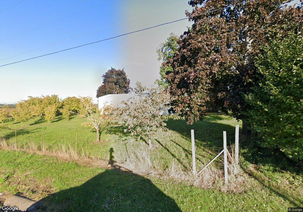
36596 S Kropf Rd Molalla, OR 97038
Estimated Value: $335,000 - $527,000
--
Bed
--
Bath
--
Sq Ft
0.99
Acres
About This Home
This home is located at 36596 S Kropf Rd, Molalla, OR 97038 and is currently estimated at $443,801. 36596 S Kropf Rd is a home located in Clackamas County with nearby schools including Butte Creek Elementary School and Silverton High School.
Ownership History
Date
Name
Owned For
Owner Type
Purchase Details
Closed on
Sep 5, 2000
Sold by
Robinson Carol Anita and Dingus Carol Anita
Bought by
Robinson Theodore and Robinson Carol
Current Estimated Value
Purchase Details
Closed on
Mar 30, 1996
Sold by
Schaefer Raymond E and Schaefer Leone
Bought by
Dingus Carol Anita
Purchase Details
Closed on
Jan 31, 1996
Sold by
Wade Julie F
Bought by
Dingus Carol Anita
Create a Home Valuation Report for This Property
The Home Valuation Report is an in-depth analysis detailing your home's value as well as a comparison with similar homes in the area
Home Values in the Area
Average Home Value in this Area
Purchase History
| Date | Buyer | Sale Price | Title Company |
|---|---|---|---|
| Robinson Theodore | -- | Chicago Title Insurance Co | |
| Dingus Carol Anita | -- | -- | |
| Dingus Carol Anita | $406 | -- | |
| Dingus Carol Anita | $78,500 | -- |
Source: Public Records
Tax History Compared to Growth
Tax History
| Year | Tax Paid | Tax Assessment Tax Assessment Total Assessment is a certain percentage of the fair market value that is determined by local assessors to be the total taxable value of land and additions on the property. | Land | Improvement |
|---|---|---|---|---|
| 2025 | $2,329 | $185,170 | -- | -- |
| 2024 | $2,271 | $179,777 | -- | -- |
| 2023 | $2,271 | $174,541 | $0 | $0 |
| 2022 | $2,073 | $169,458 | $0 | $0 |
| 2021 | $1,983 | $164,523 | $0 | $0 |
| 2020 | $1,936 | $159,732 | $0 | $0 |
| 2019 | $1,876 | $155,080 | $0 | $0 |
| 2018 | $1,828 | $150,563 | $0 | $0 |
| 2017 | $1,787 | $146,178 | $0 | $0 |
| 2016 | $1,727 | $141,920 | $0 | $0 |
| 2015 | $1,673 | $137,786 | $0 | $0 |
| 2014 | $1,599 | $133,773 | $0 | $0 |
Source: Public Records
Map
Nearby Homes
- 36175 S Highway 213
- 37658 S Highway 213
- 37486 S Highway 213 (Adj To)
- 37486 S Hwy 213 (Adj To)
- 10285 S Rosewood Way
- 9924 S Wildcat Rd
- 8438 Cascade Hwy NE
- 35267 S Acer Ln
- 0 Crooked Finger Rd NE Unit 827344
- 0 Crooked Finger Rd NE Unit 265826977
- Lot 1600 Crooked Finger Rd NE
- 000 Crooked Finger Rd NE
- 0 Off of Crooked Finge Rd
- 7138 Grandview Ave
- 15215 Woodburn Monitor Rd NE
- 7118 Grandview Ave
- 15145 Woodburn Monitor Rd NE
- 0 Hazelnut Ridge Rd
- 6627 Mary Ln NE
- 17576 Abiqua Rd NE
- 36740 S Kropf Rd
- 36497 S Kropf Rd
- 36751 S Kropf Rd
- 36728 S Kropf Rd
- 36793 S Kropf Rd
- 36902 S Kropf Rd
- 36887 S Highway 213
- 36864 S Highway 213
- 8693 S Drake Rd NE
- 8643 S Drake Rd NE
- 36880 S Highway 213
- 36903 S Highway 213
- 36901 S Nowlens Bridge Rd
- 8535 S Drake Rd NE
- 36937 S Highway 213
- 8944 S Wildcat Rd
- 8640 S Drake Rd NE
- 36971 S Highway 213
- 36945 S Nowlens Bridge Rd
- 36252 S Kropf Rd