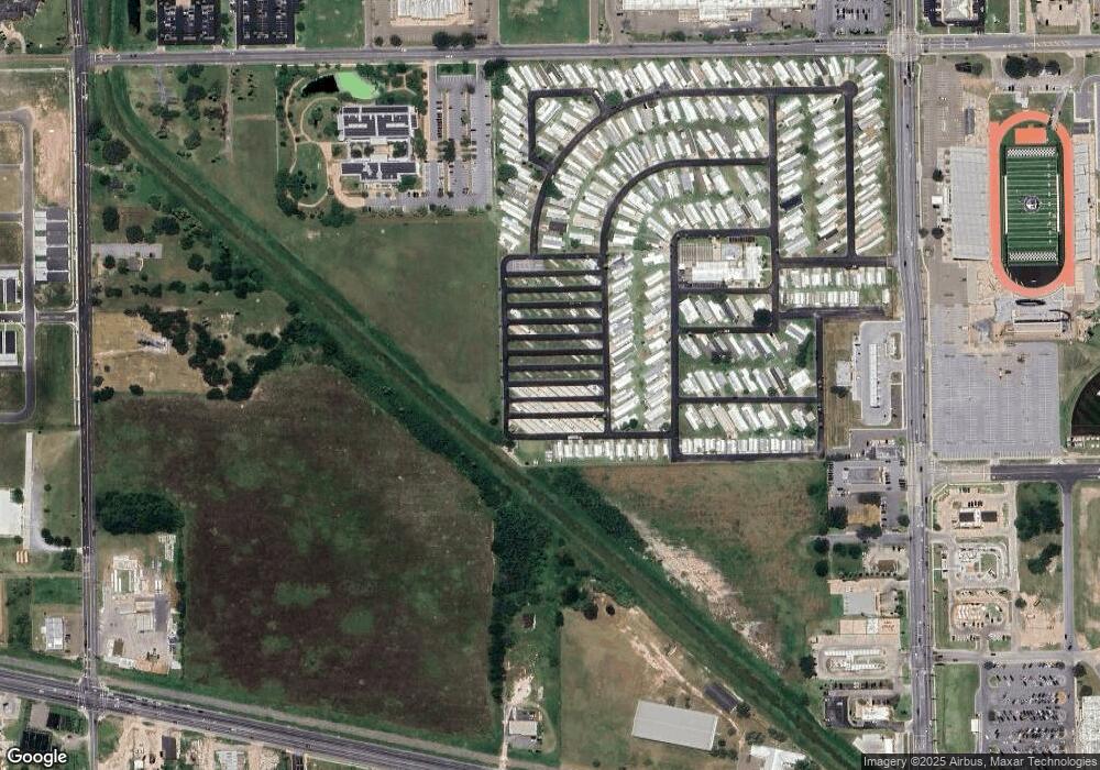
365F Rr 1 Weslaco, TX 78596
Estimated Value: $162,000 - $295,798
3
Beds
2
Baths
2,486
Sq Ft
$95/Sq Ft
Est. Value
About This Home
This home is located at 365F Rr 1, Weslaco, TX 78596 and is currently estimated at $236,450, approximately $95 per square foot. 365F Rr 1 is a home located in Hidalgo County with nearby schools including Memorial Elementary School, Central Middle School, and Weslaco High School.
Ownership History
Date
Name
Owned For
Owner Type
Purchase Details
Closed on
Mar 29, 2024
Sold by
Trevino Patricia
Bought by
11017 N Mile 6 W Llc
Current Estimated Value
Purchase Details
Closed on
Jan 11, 2022
Sold by
Rural Housing Service United States Depa
Bought by
Trevino Patricia
Purchase Details
Closed on
Jan 10, 2022
Sold by
Rural Housing Service United States Depa
Bought by
Trevino Patricia
Purchase Details
Closed on
Dec 29, 2021
Sold by
Rural Housing Service United States Depa
Bought by
Trevino Patricia
Purchase Details
Closed on
Aug 11, 2006
Sold by
Mendoza Olivia R
Bought by
Mendoza Martin and Cruz Augustina L De La
Home Financials for this Owner
Home Financials are based on the most recent Mortgage that was taken out on this home.
Original Mortgage
$98,585
Interest Rate
6.79%
Mortgage Type
USDA
Create a Home Valuation Report for This Property
The Home Valuation Report is an in-depth analysis detailing your home's value as well as a comparison with similar homes in the area
Home Values in the Area
Average Home Value in this Area
Purchase History
| Date | Buyer | Sale Price | Title Company |
|---|---|---|---|
| 11017 N Mile 6 W Llc | -- | None Listed On Document | |
| Trevino Patricia | $128,622 | Simplifile | |
| Trevino Patricia | $128,622 | Simplifile | |
| Trevino Patricia | $128,622 | Simplifile | |
| Mendoza Martin | -- | None Available |
Source: Public Records
Mortgage History
| Date | Status | Borrower | Loan Amount |
|---|---|---|---|
| Previous Owner | Mendoza Martin | $98,585 |
Source: Public Records
Tax History Compared to Growth
Tax History
| Year | Tax Paid | Tax Assessment Tax Assessment Total Assessment is a certain percentage of the fair market value that is determined by local assessors to be the total taxable value of land and additions on the property. | Land | Improvement |
|---|---|---|---|---|
| 2025 | $4,316 | $295,655 | $63,828 | $231,827 |
| 2024 | $4,316 | $230,363 | $63,828 | $166,535 |
| 2023 | $4,484 | $241,376 | $63,828 | $177,548 |
| 2022 | $4,081 | $216,826 | $63,828 | $152,998 |
| 2021 | $3,654 | $190,059 | $63,828 | $126,231 |
| 2020 | $3,583 | $179,919 | $63,828 | $116,091 |
| 2019 | $3,219 | $154,642 | $42,777 | $111,865 |
| 2018 | $3,253 | $155,893 | $42,777 | $113,116 |
| 2017 | $3,267 | $157,144 | $42,777 | $114,367 |
| 2016 | $3,134 | $150,733 | $35,117 | $115,616 |
| 2015 | $2,664 | $150,230 | $35,117 | $116,866 |
| 2014 | $2,664 | $136,573 | $35,117 | $101,456 |
Source: Public Records
Map
Nearby Homes
- 3108 W 18th St
- 1627 S Midway Rd
- 2306 Bald Cypress Dr
- Lot 7 Beverly Ave
- 1322 Beverly Ave
- 2320 Victoriano St
- 2308 Victoriano St
- 3014 Sage Dr
- 2298 Via Roma Rd
- 2342 Via Roma St
- 2342 Victoriano St
- 0000 Vine Ave
- 2307 Sage Dr
- 2482 Verona
- 1400 San Vicente
- 4204 Lott Rd
- 3115 W Mimosa Dr
- 3014 W Mimosa Dr
- 2194 Via Roma St
- 1401 Beverly Ave
- 10017 N Mile 6 W
- 2750 Mile 6 Rd N
- 2752 W 18th St
- 2744 W 18th St
- 2520 W 18th St
- 1800 Columbia St
- 00 Cornell St
- 2734 W 18th St
- 2734 W 18th St Unit B
- 1716 S Milanos Rd
- 000 Mile 6 Rd N
- 1145 Mile 6 1 2 W
- NN Mile 6 1 2 W
- - Mile 6 Rd N
- 10 AC Mile 6 1 2 W
- 26.59 AC Mile 6 1 2 W
- 1708 S Milanos Rd
- 1658 S Milanos Rd S
- 2908 W 18th St
- 3009 W 18th St
