366 Andrews Bay Hudson, WI 54016
Estimated Value: $422,966 - $479,000
3
Beds
1
Bath
1,462
Sq Ft
$308/Sq Ft
Est. Value
About This Home
This home is located at 366 Andrews Bay, Hudson, WI 54016 and is currently estimated at $450,492, approximately $308 per square foot. 366 Andrews Bay is a home located in St. Croix County with nearby schools including E.P. Rock Elementary School, Hudson Middle School, and Hudson High School.
Ownership History
Date
Name
Owned For
Owner Type
Purchase Details
Closed on
Nov 17, 2017
Sold by
Argent Farms Llc
Bought by
Amdahl Chris and Amdahl Julie
Current Estimated Value
Purchase Details
Closed on
Apr 1, 2010
Sold by
Sellman Rhiannon L
Bought by
Argent Farms Llc
Purchase Details
Closed on
Aug 7, 2008
Sold by
Hans Hagen Homes Inc
Bought by
Argent Farms Llc
Home Financials for this Owner
Home Financials are based on the most recent Mortgage that was taken out on this home.
Original Mortgage
$201,500
Interest Rate
6.57%
Mortgage Type
Purchase Money Mortgage
Create a Home Valuation Report for This Property
The Home Valuation Report is an in-depth analysis detailing your home's value as well as a comparison with similar homes in the area
Home Values in the Area
Average Home Value in this Area
Purchase History
| Date | Buyer | Sale Price | Title Company |
|---|---|---|---|
| Amdahl Chris | $279,000 | -- | |
| Argent Farms Llc | -- | None Available | |
| Argent Farms Llc | $252,300 | Realstar Title |
Source: Public Records
Mortgage History
| Date | Status | Borrower | Loan Amount |
|---|---|---|---|
| Previous Owner | Argent Farms Llc | $201,500 |
Source: Public Records
Tax History Compared to Growth
Tax History
| Year | Tax Paid | Tax Assessment Tax Assessment Total Assessment is a certain percentage of the fair market value that is determined by local assessors to be the total taxable value of land and additions on the property. | Land | Improvement |
|---|---|---|---|---|
| 2024 | $51 | $297,200 | $71,700 | $225,500 |
| 2023 | $4,814 | $297,200 | $71,700 | $225,500 |
| 2022 | $4,486 | $297,200 | $71,700 | $225,500 |
| 2021 | $4,585 | $297,200 | $71,700 | $225,500 |
| 2020 | $4,112 | $297,200 | $71,700 | $225,500 |
| 2019 | $3,731 | $206,700 | $59,700 | $147,000 |
| 2018 | $4,031 | $199,000 | $59,700 | $139,300 |
| 2017 | $3,662 | $199,000 | $59,700 | $139,300 |
| 2016 | $3,662 | $199,000 | $59,700 | $139,300 |
| 2015 | $3,404 | $199,000 | $59,700 | $139,300 |
| 2014 | $3,347 | $199,000 | $59,700 | $139,300 |
| 2013 | $3,473 | $199,000 | $59,700 | $139,300 |
Source: Public Records
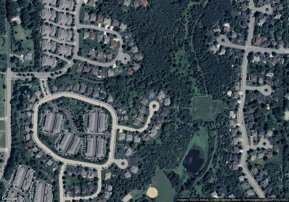
Map
Nearby Homes
- 118 Quail Cir
- 261 W Canyon Dr
- 251 W Canyon Dr
- 81 Lockwood Ct
- 217 W Canyon Dr
- 54 Tribute Ave
- Lot 25 Hanley Rd
- 117 Heirloom Ave
- 42 Stone Harbor Place
- 82 Coach Light Dr
- 81 Bridgewater Trail
- 464 Stageline Rd
- 106 Bridgewater Trail
- 50 Robin Ln
- 665 Darnold Dr
- 671 Darnold Dr
- XXX Tower Rd
- 425 Jack Pine Dr
- 2400 Simply Living Ln
- 2477 Sharon Ln
- 368 Andrews Bay
- 364 Andrews Bay
- 374 Andrews Bay
- 360 Andrews Bay
- 370 Andrews Bay
- 356 Andrews Bay
- 372 Andrews Bay
- 344 Wedgewood Cir
- 348 Wedgewood Cir
- 376 Andrews Bay
- 378 Andrews Bay
- 112 Quail Cir
- 340 Wedgewood Cir
- 380 Andrews Bay
- 114 Quail Cir
- 382 Andrews Bay
- 116 Quail Cir
- 386 Andrews Bay
- 384 Andrews Bay
- 387 Valley Commons