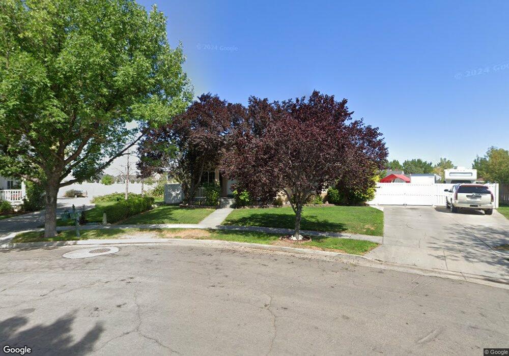
366 Dawson Ln Unit 203 Tooele, UT 84074
Estimated Value: $467,000 - $505,000
3
Beds
2
Baths
2,931
Sq Ft
$165/Sq Ft
Est. Value
About This Home
This home is located at 366 Dawson Ln Unit 203, Tooele, UT 84074 and is currently estimated at $484,232, approximately $165 per square foot. 366 Dawson Ln Unit 203 is a home located in Tooele County with nearby schools including Overlake Elementary School, Clarke N. Johnsen Junior High School, and Stansbury High School.
Ownership History
Date
Name
Owned For
Owner Type
Purchase Details
Closed on
Sep 21, 2007
Sold by
Sanchez Melanie
Bought by
Sanchez Melanie and Cordova Ray
Current Estimated Value
Home Financials for this Owner
Home Financials are based on the most recent Mortgage that was taken out on this home.
Original Mortgage
$166,000
Outstanding Balance
$105,315
Interest Rate
6.61%
Mortgage Type
New Conventional
Estimated Equity
$378,917
Create a Home Valuation Report for This Property
The Home Valuation Report is an in-depth analysis detailing your home's value as well as a comparison with similar homes in the area
Home Values in the Area
Average Home Value in this Area
Purchase History
| Date | Buyer | Sale Price | Title Company |
|---|---|---|---|
| Sanchez Melanie | -- | None Available |
Source: Public Records
Mortgage History
| Date | Status | Borrower | Loan Amount |
|---|---|---|---|
| Open | Sanchez Melanie | $166,000 |
Source: Public Records
Tax History Compared to Growth
Tax History
| Year | Tax Paid | Tax Assessment Tax Assessment Total Assessment is a certain percentage of the fair market value that is determined by local assessors to be the total taxable value of land and additions on the property. | Land | Improvement |
|---|---|---|---|---|
| 2025 | $3,041 | $245,085 | $63,250 | $181,835 |
| 2024 | $3,333 | $246,441 | $63,250 | $183,191 |
| 2023 | $3,333 | $258,151 | $60,221 | $197,930 |
| 2022 | $3,274 | $270,508 | $72,380 | $198,128 |
| 2021 | $2,755 | $189,280 | $24,475 | $164,805 |
| 2020 | $2,579 | $312,040 | $44,500 | $267,540 |
| 2019 | $2,402 | $287,718 | $44,500 | $243,218 |
| 2018 | $2,072 | $236,117 | $30,000 | $206,117 |
| 2017 | $1,652 | $222,633 | $30,000 | $192,633 |
| 2016 | $1,450 | $108,193 | $11,000 | $97,193 |
| 2015 | $1,450 | $102,809 | $0 | $0 |
| 2014 | -- | $102,809 | $0 | $0 |
Source: Public Records
Map
Nearby Homes
- 1913 N 370 W
- 437 W 1910 N Unit 317
- 295 Drysdale Way
- 463 W 1910 N Unit 320
- 452 W 1910 N Unit 314
- 1581 Durocher Ln
- 1969 N 270 W
- 519 W 1960 N Unit 230
- 1558 Durocher Ln
- 1568 Dawson Ln
- 507 W 2030 N
- Franklin Plan at Compass Point
- Ash Plan at Compass Point
- Chapman Plan at Compass Point
- Kennedy Plan at Compass Point
- McKinley Plan at Compass Point
- Hickory Plan at Compass Point
- Spruce Pantry Plan at Compass Point
- Holly Plan at Compass Point
- Basswood Plan at Compass Point
- 366 Dawson Ln
- 1747 Colavito Way
- 354 Dawson Ln
- 354 Dawson Ln Unit 202
- 355 Dimaggio Dr
- 1736 Colavito Way
- 1735 Colavito Way
- 373 Dimaggio Dr
- 1765 Clemens Way
- 1728 Colavito Way
- 345 Dimaggio Dr
- 341 Dawson Ln
- 1725 Colavito Way
- 341 Dawson Dr W
- 409 Dimaggio Dr
- 374 Dimaggio Dr
- 1718 Colavito Way
- 386 Dimaggio Dr
- 1711 Colavito Way
- 329 Dawson Ln