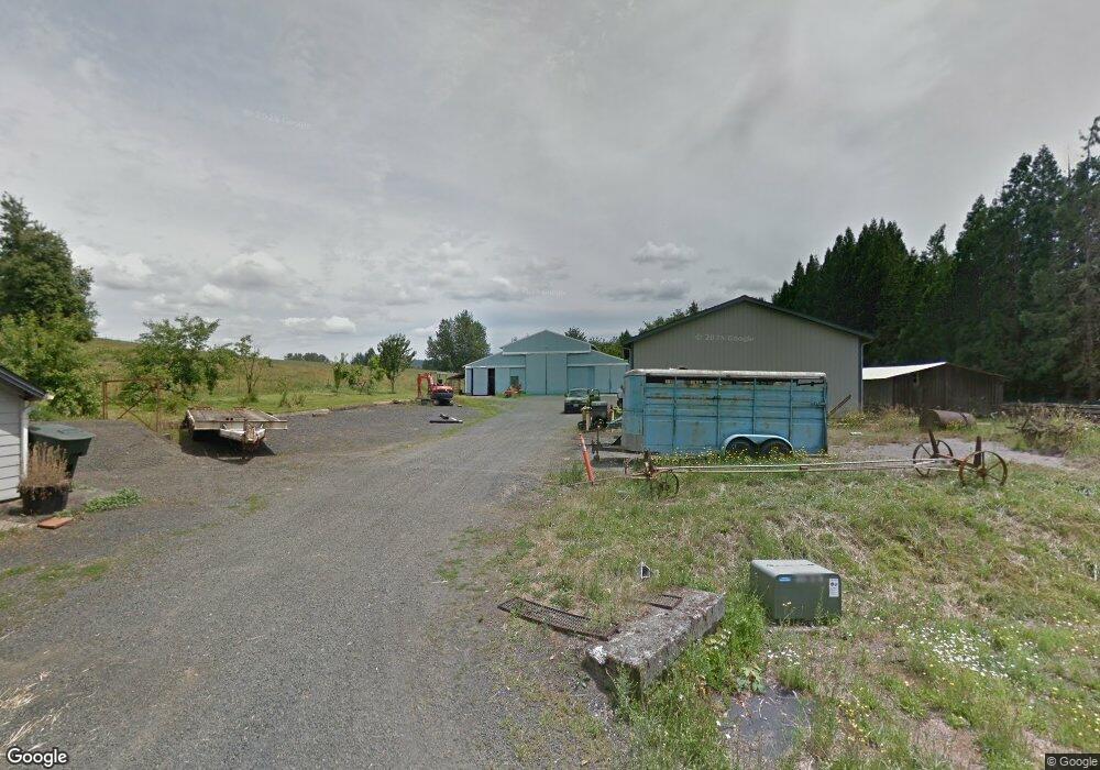
366 Delameter Rd Castle Rock, WA 98611
Estimated Value: $679,000 - $1,025,083
3
Beds
2
Baths
2,229
Sq Ft
$362/Sq Ft
Est. Value
About This Home
This home is located at 366 Delameter Rd, Castle Rock, WA 98611 and is currently estimated at $806,028, approximately $361 per square foot. 366 Delameter Rd is a home located in Cowlitz County with nearby schools including Castle Rock Elementary School, Castle Rock Middle School, and Castle Rock High School.
Ownership History
Date
Name
Owned For
Owner Type
Purchase Details
Closed on
Dec 3, 2015
Sold by
Amos Jesse L and Amos Connie
Bought by
Carr Ron
Current Estimated Value
Purchase Details
Closed on
Feb 7, 2007
Sold by
Amos Jessie and Amos Colleen
Bought by
Amos Jesse L and Amos Connie E
Purchase Details
Closed on
Feb 6, 2007
Sold by
Amos Jessie and Amos Colleen
Bought by
Bolar Billy M and Bolar Mary Colene
Create a Home Valuation Report for This Property
The Home Valuation Report is an in-depth analysis detailing your home's value as well as a comparison with similar homes in the area
Home Values in the Area
Average Home Value in this Area
Purchase History
| Date | Buyer | Sale Price | Title Company |
|---|---|---|---|
| Carr Ron | -- | None Available | |
| Carr Ron | -- | None Available | |
| Amos Jesse L | -- | None Available | |
| Amos Jesse L | -- | None Available | |
| Amos Jesse L | -- | Cascade Title Co | |
| Bolar Billy M | $2,000 | None Available |
Source: Public Records
Tax History Compared to Growth
Tax History
| Year | Tax Paid | Tax Assessment Tax Assessment Total Assessment is a certain percentage of the fair market value that is determined by local assessors to be the total taxable value of land and additions on the property. | Land | Improvement |
|---|---|---|---|---|
| 2024 | $5,451 | $650,070 | $25,540 | $624,530 |
| 2023 | $5,612 | $705,110 | $25,540 | $679,570 |
| 2022 | $4,075 | $612,030 | $24,700 | $587,330 |
| 2021 | $3,726 | $454,670 | $23,160 | $431,510 |
| 2020 | $3,878 | $634,960 | $255,680 | $379,280 |
| 2019 | $3,224 | $435,789 | $26,614 | $409,175 |
| 2018 | $3,532 | $356,600 | $26,620 | $329,980 |
| 2017 | $2,925 | $338,090 | $27,220 | $310,870 |
| 2016 | $2,571 | $283,100 | $31,950 | $251,150 |
| 2015 | $2,643 | $267,290 | $31,940 | $235,350 |
| 2013 | -- | $247,090 | $28,230 | $218,860 |
Source: Public Records
Map
Nearby Homes
- 642 5th Ave SW
- 546 4th Ave SW
- 237 C St SW
- 6609 Westside Hwy
- 1020 3rd Ave SW
- 705 1st Ave SW
- 114 Cherry St NW
- 56 Shear St SW
- 438 Front Ave SW
- 385 Front Ave NW
- 1 D St SW
- 153 Green Acres Dr
- 107 Guinevere Ct
- 203 Roake Ave SE
- 411 Brierwood Ct SE
- 121 Gassman Rd
- 0 Huntington Ave S Unit NWM2336096
- 0 Pioneer Ave NE
- 130 Annabelle St
- 354 Delameter Rd
- 370 Delameter Rd
- 350 Delameter Rd
- 381 Delameter Rd
- 313 Cemetery Rd
- 351 Delameter Rd
- 123 Delameter Ln
- 237 Conger Rd
- 149 Delameter Ln
- 235 Conger Rd
- 364 Cemetery Rd Unit B
- 364 Cemetery Rd Unit A
- 364 Cemetery Rd
- 305 Delameter Rd
- 299 Delameter Rd
- 155 Delameter Ln
- 2 Delameter Ln
- 0 Delameter Ln
- 0 Delameter Ln Unit NWM2030099
- 4567 Westside Hwy