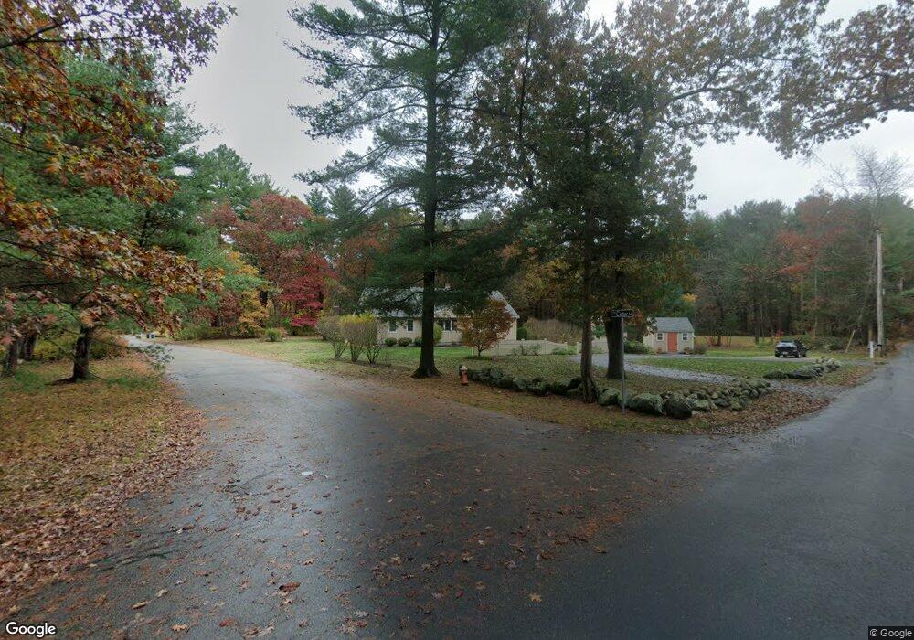
366 Forest St North Andover, MA 01845
Estimated Value: $821,550 - $1,013,000
3
Beds
1
Bath
1,800
Sq Ft
$504/Sq Ft
Est. Value
About This Home
This home is located at 366 Forest St, North Andover, MA 01845 and is currently estimated at $906,888, approximately $503 per square foot. 366 Forest St is a home located in Essex County with nearby schools including Annie L Sargent Elementary School, North Andover Middle School, and North Andover High School.
Ownership History
Date
Name
Owned For
Owner Type
Purchase Details
Closed on
Jun 13, 2023
Sold by
Schneir Mitchell Z and Day Lauren J
Bought by
366 Forest St Rt and Schneir
Current Estimated Value
Purchase Details
Closed on
Feb 10, 2004
Sold by
Day Lauren J
Bought by
Schneir Mitchell Z and Day Lauren J
Purchase Details
Closed on
Nov 22, 1996
Sold by
Scanzani James M
Bought by
Hanna Timothy M
Create a Home Valuation Report for This Property
The Home Valuation Report is an in-depth analysis detailing your home's value as well as a comparison with similar homes in the area
Home Values in the Area
Average Home Value in this Area
Purchase History
| Date | Buyer | Sale Price | Title Company |
|---|---|---|---|
| 366 Forest St Rt | -- | None Available | |
| Schneir Mitchell Z | -- | -- | |
| Hanna Timothy M | $198,000 | -- |
Source: Public Records
Mortgage History
| Date | Status | Borrower | Loan Amount |
|---|---|---|---|
| Previous Owner | Hanna Timothy M | $272,000 | |
| Previous Owner | Hanna Timothy M | $40,000 |
Source: Public Records
Tax History
| Year | Tax Paid | Tax Assessment Tax Assessment Total Assessment is a certain percentage of the fair market value that is determined by local assessors to be the total taxable value of land and additions on the property. | Land | Improvement |
|---|---|---|---|---|
| 2025 | $8,659 | $769,000 | $414,200 | $354,800 |
| 2024 | $8,407 | $758,100 | $392,400 | $365,700 |
| 2023 | $7,854 | $641,700 | $331,400 | $310,300 |
| 2022 | $7,759 | $573,500 | $300,900 | $272,600 |
| 2021 | $7,725 | $545,200 | $272,600 | $272,600 |
| 2020 | $7,344 | $534,500 | $272,600 | $261,900 |
| 2019 | $7,168 | $534,500 | $272,600 | $261,900 |
| 2018 | $7,766 | $534,500 | $272,600 | $261,900 |
| 2017 | $6,537 | $457,800 | $213,700 | $244,100 |
| 2016 | $6,466 | $453,100 | $212,400 | $240,700 |
| 2015 | $6,209 | $431,500 | $208,800 | $222,700 |
Source: Public Records
Map
Nearby Homes
- 626 Forest St
- 122 Forest St
- 851 Forest St
- 94 Boxford St
- 50 Boxford St
- 224 Raleigh Tavern Ln
- Lot 10 Stonecleave Rd
- 49 Windsor Ln
- 94 Lawrence Rd
- 37 Sullivan St
- 590 Foster St
- Lot 2 (31) Lawrence Rd
- 71 Regency Place
- 991 Johnson St
- 61 Abbott St
- 2 Harvest Dr Unit 209
- 2 Harvest Dr Unit 301
- 3 Harvest Dr Unit 303
- 1205 Harvest Dr Unit 205
- 906 Alder Way Unit 906
Your Personal Tour Guide
Ask me questions while you tour the home.