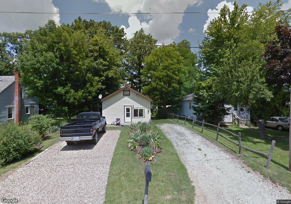
366 Harding Rd Mansfield, OH 44906
Estimated Value: $60,000 - $66,792
2
Beds
1
Bath
572
Sq Ft
$111/Sq Ft
Est. Value
About This Home
This home is located at 366 Harding Rd, Mansfield, OH 44906 and is currently estimated at $63,698, approximately $111 per square foot. 366 Harding Rd is a home located in Richland County with nearby schools including Foundation Academy, Mansfield Elective Academy, and Interactive Media & Construction (IMAC) Academy.
Ownership History
Date
Name
Owned For
Owner Type
Purchase Details
Closed on
Nov 14, 2008
Sold by
Fisher John E and Fisher Judy A
Bought by
Dean Shane L and Dean Linda L
Current Estimated Value
Home Financials for this Owner
Home Financials are based on the most recent Mortgage that was taken out on this home.
Original Mortgage
$25,018
Outstanding Balance
$16,317
Interest Rate
5.95%
Mortgage Type
FHA
Estimated Equity
$47,381
Purchase Details
Closed on
Apr 2, 1999
Sold by
Lawhorn Kenny
Bought by
Fisher John E and Fisher Judy A
Home Financials for this Owner
Home Financials are based on the most recent Mortgage that was taken out on this home.
Original Mortgage
$12,500
Interest Rate
6.89%
Mortgage Type
New Conventional
Create a Home Valuation Report for This Property
The Home Valuation Report is an in-depth analysis detailing your home's value as well as a comparison with similar homes in the area
Home Values in the Area
Average Home Value in this Area
Purchase History
| Date | Buyer | Sale Price | Title Company |
|---|---|---|---|
| Dean Shane L | $24,900 | Southern Title | |
| Fisher John E | $12,500 | -- |
Source: Public Records
Mortgage History
| Date | Status | Borrower | Loan Amount |
|---|---|---|---|
| Open | Dean Shane L | $25,018 | |
| Closed | Fisher John E | $12,500 |
Source: Public Records
Tax History
| Year | Tax Paid | Tax Assessment Tax Assessment Total Assessment is a certain percentage of the fair market value that is determined by local assessors to be the total taxable value of land and additions on the property. | Land | Improvement |
|---|---|---|---|---|
| 2024 | $533 | $11,640 | $2,300 | $9,340 |
| 2023 | $545 | $11,640 | $2,300 | $9,340 |
| 2022 | $471 | $8,430 | $2,050 | $6,380 |
| 2021 | $474 | $8,430 | $2,050 | $6,380 |
| 2020 | $485 | $8,430 | $2,050 | $6,380 |
| 2019 | $538 | $8,430 | $2,050 | $6,380 |
| 2018 | $530 | $8,430 | $2,050 | $6,380 |
| 2017 | $510 | $8,430 | $2,050 | $6,380 |
| 2016 | $505 | $8,000 | $1,950 | $6,050 |
| 2015 | $482 | $8,000 | $1,950 | $6,050 |
| 2014 | $476 | $8,000 | $1,950 | $6,050 |
| 2012 | $181 | $8,000 | $2,050 | $5,950 |
Source: Public Records
Map
Nearby Homes
- 640 Hanna Rd
- 0 Highway 30
- 891 Springmill Rd
- 739 Armstrong St
- 1077 Benedict Ave
- 1501 Bowman St
- 572 France St
- 701 Springmill St
- 878 Fairfax Ave
- 118 Raymond Ave
- 641 Averill Ave
- 933 Fairfax Ave
- 1087 Fairfax Ave
- 580 N Mulberry St
- 492 Stark St
- 524 Lida St
- 1101 Lenox Ave
- 0 State Route 314 Unit 9069650
- 1092 N Trimble Rd
- 688 Mcpherson St
Your Personal Tour Guide
Ask me questions while you tour the home.