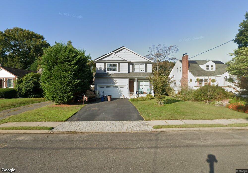
366 Macarthur Ave Long Branch, NJ 07740
Estimated Value: $733,108 - $926,000
3
Beds
2
Baths
2,437
Sq Ft
$349/Sq Ft
Est. Value
About This Home
This home is located at 366 Macarthur Ave, Long Branch, NJ 07740 and is currently estimated at $850,777, approximately $349 per square foot. 366 Macarthur Ave is a home located in Monmouth County with nearby schools including Long Branch High School and Holy Trinity School.
Ownership History
Date
Name
Owned For
Owner Type
Purchase Details
Closed on
Jan 11, 2007
Sold by
Kahle John H
Bought by
Cook James and Cook Jennifer
Current Estimated Value
Home Financials for this Owner
Home Financials are based on the most recent Mortgage that was taken out on this home.
Original Mortgage
$360,000
Outstanding Balance
$214,296
Interest Rate
6.14%
Estimated Equity
$636,481
Create a Home Valuation Report for This Property
The Home Valuation Report is an in-depth analysis detailing your home's value as well as a comparison with similar homes in the area
Home Values in the Area
Average Home Value in this Area
Purchase History
| Date | Buyer | Sale Price | Title Company |
|---|---|---|---|
| Cook James | $515,000 | -- |
Source: Public Records
Mortgage History
| Date | Status | Borrower | Loan Amount |
|---|---|---|---|
| Open | Cook James | $360,000 | |
| Closed | Cook James | $360,500 |
Source: Public Records
Tax History Compared to Growth
Tax History
| Year | Tax Paid | Tax Assessment Tax Assessment Total Assessment is a certain percentage of the fair market value that is determined by local assessors to be the total taxable value of land and additions on the property. | Land | Improvement |
|---|---|---|---|---|
| 2025 | $9,786 | $718,200 | $285,600 | $432,600 |
| 2024 | $9,355 | $636,700 | $217,800 | $418,900 |
| 2023 | $9,355 | $602,400 | $192,800 | $409,600 |
| 2022 | $9,609 | $529,900 | $164,800 | $365,100 |
| 2021 | $9,609 | $480,200 | $134,800 | $345,400 |
| 2020 | $9,953 | $476,200 | $128,800 | $347,400 |
| 2019 | $9,541 | $453,900 | $118,800 | $335,100 |
| 2018 | $9,329 | $441,300 | $114,800 | $326,500 |
| 2017 | $8,897 | $431,700 | $107,800 | $323,900 |
| 2016 | $8,767 | $433,800 | $114,800 | $319,000 |
| 2015 | $9,260 | $415,800 | $93,300 | $322,500 |
| 2014 | $8,794 | $416,200 | $111,300 | $304,900 |
Source: Public Records
Map
Nearby Homes
- 154 Atlantic Ave
- 323 Florence Ave
- 381 Long Branch Ave
- 188 Chelton Ave
- 172 Chelton Ave
- 392 Florence Ave
- 164 Airsdale Ave
- 138 Rosewood Ave
- 165 Kingsley St
- 231 Long Branch Ave
- 16 Shore Dr
- 28 Patten Ln
- 432 Ocean Blvd N Unit 506
- 432 Ocean Blvd N Unit 315
- 9 Manahassett Park Dr
- 422 Ocean Blvd N Unit 5H
- 211 Rockwell Ave
- 40 Seaview Ave Unit A
- 200 Ocean Ave N Unit 13
- 200 Ocean Ave N Unit 19
- 364 Macarthur Ave
- 368 Macarthur Ave
- 362 Macarthur Ave
- 372 Macarthur Ave
- 359 Sterling Place
- 360 Macarthur Ave
- 390 Macarthur Ave
- 375 Macarthur Ave
- 367 Macarthur Ave
- 365 Macarthur Ave
- 363 Macarthur Ave
- 363 Sterling Place
- 158 Atlantic Ave
- 379 Sterling Place
- 357 Sterling Place
- 371 Sterling Place
- 391 Macarthur Ave
- 359 Macarthur Ave
- 359 Macarthur Ave Unit A
- 359 Macarthur Ave Unit RA