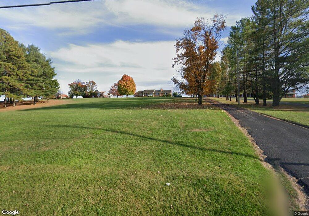
366 National Ave Staunton, VA 24401
Estimated Value: $379,861 - $437,000
--
Bed
3
Baths
1,605
Sq Ft
$257/Sq Ft
Est. Value
About This Home
This home is located at 366 National Ave, Staunton, VA 24401 and is currently estimated at $411,965, approximately $256 per square foot. 366 National Ave is a home located in Staunton City with nearby schools including Bessie Weller Elementary School, Shelburne Middle School, and Staunton High School.
Ownership History
Date
Name
Owned For
Owner Type
Purchase Details
Closed on
Jan 3, 2020
Sold by
Par Four Llc
Bought by
Botkin Mary Ann
Current Estimated Value
Home Financials for this Owner
Home Financials are based on the most recent Mortgage that was taken out on this home.
Original Mortgage
$266,895
Interest Rate
3.4%
Mortgage Type
Credit Line Revolving
Create a Home Valuation Report for This Property
The Home Valuation Report is an in-depth analysis detailing your home's value as well as a comparison with similar homes in the area
Home Values in the Area
Average Home Value in this Area
Purchase History
| Date | Buyer | Sale Price | Title Company |
|---|---|---|---|
| Botkin Mary Ann | $256,000 | Vstitle Llc |
Source: Public Records
Mortgage History
| Date | Status | Borrower | Loan Amount |
|---|---|---|---|
| Previous Owner | Botkin Mary Ann | $266,895 |
Source: Public Records
Tax History Compared to Growth
Tax History
| Year | Tax Paid | Tax Assessment Tax Assessment Total Assessment is a certain percentage of the fair market value that is determined by local assessors to be the total taxable value of land and additions on the property. | Land | Improvement |
|---|---|---|---|---|
| 2025 | $3,672 | $403,500 | $50,000 | $353,500 |
| 2024 | $3,247 | $364,800 | $40,000 | $324,800 |
| 2023 | $3,247 | $364,800 | $40,000 | $324,800 |
| 2022 | $2,625 | $285,300 | $36,000 | $249,300 |
| 2021 | $2,625 | $285,300 | $36,000 | $249,300 |
| 2020 | $2,394 | $252,000 | $36,000 | $216,000 |
| 2019 | $2,394 | $252,000 | $36,000 | $216,000 |
| 2018 | $2,000 | $206,200 | $36,000 | $170,200 |
| 2017 | $2,000 | $206,200 | $36,000 | $170,200 |
| 2016 | $1,978 | $208,200 | $36,000 | $172,200 |
| 2015 | $1,978 | $208,200 | $36,000 | $172,200 |
| 2014 | $1,921 | $202,200 | $36,000 | $166,200 |
Source: Public Records
Map
Nearby Homes
- 124 Wexford St
- 206 Wexford St
- 208 Wexford St
- 775 New Hope Rd
- 0 Balsley Rd Unit 633578
- 610 New Hope Rd
- 424 Balsley Rd
- 482 Sangers Ln
- 1213 Richmond Ave
- 914 Alta St
- TBD Augusta Woods Dr
- 10 Frontier Ridge Ct
- 705 Richmond Ave
- 891 Bells Ln
- 1004 E Beverley St
- 9 River Oak Dr
- 414 Campbell St
- 15 River Oak Dr
- 17 River Oak Dr
- 20 River Oak Dr
- 366 National Ave
- 366 National Ave
- 366 National Ave
- 114 Wexford St
- 116 Wexford St
- 870 New Hope Rd
- 112 Wexford St
- 868 New Hope Rd
- 866 New Hope Rd
- 866 New Hope Rd
- 866 New Hope Rd
- 866 New Hope Rd
- 866 New Hope Rd
- 854 New Hope Rd
- 120 Wexford St
- 110 Wexford St
- 113 Wexford St
- 122 Wexford St
- 828 New Hope Rd
- 108 Wexford St