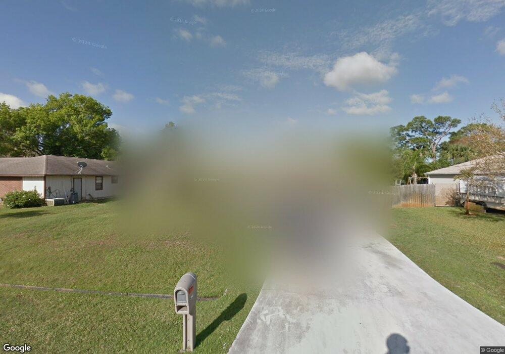
366 NW Curry St Port Saint Lucie, FL 34983
Northport Village NeighborhoodEstimated Value: $279,000 - $373,000
3
Beds
2
Baths
1,675
Sq Ft
$199/Sq Ft
Est. Value
About This Home
This home is located at 366 NW Curry St, Port Saint Lucie, FL 34983 and is currently estimated at $333,835, approximately $199 per square foot. 366 NW Curry St is a home located in St. Lucie County with nearby schools including Northport K-8 School, Parkway Elementary School, and Floresta Elementary School.
Ownership History
Date
Name
Owned For
Owner Type
Purchase Details
Closed on
Jul 17, 2013
Sold by
Evans Annazette T
Bought by
Evans Annazette T and Thomas Prinshawn R
Current Estimated Value
Purchase Details
Closed on
Jul 31, 2001
Sold by
Dept Housing & Urban Dev Wa D C
Bought by
Evans Annazette T
Home Financials for this Owner
Home Financials are based on the most recent Mortgage that was taken out on this home.
Original Mortgage
$81,794
Outstanding Balance
$31,976
Interest Rate
7.18%
Mortgage Type
FHA
Estimated Equity
$301,859
Create a Home Valuation Report for This Property
The Home Valuation Report is an in-depth analysis detailing your home's value as well as a comparison with similar homes in the area
Home Values in the Area
Average Home Value in this Area
Purchase History
| Date | Buyer | Sale Price | Title Company |
|---|---|---|---|
| Evans Annazette T | -- | None Available | |
| Evans Annazette T | $79,500 | -- |
Source: Public Records
Mortgage History
| Date | Status | Borrower | Loan Amount |
|---|---|---|---|
| Open | Evans Annazette T | $81,794 |
Source: Public Records
Tax History Compared to Growth
Tax History
| Year | Tax Paid | Tax Assessment Tax Assessment Total Assessment is a certain percentage of the fair market value that is determined by local assessors to be the total taxable value of land and additions on the property. | Land | Improvement |
|---|---|---|---|---|
| 2024 | $1,339 | $77,155 | -- | -- |
| 2023 | $1,339 | $74,908 | $0 | $0 |
| 2022 | $1,270 | $72,727 | $0 | $0 |
| 2021 | $1,193 | $70,609 | $0 | $0 |
| 2020 | $1,200 | $69,635 | $0 | $0 |
| 2019 | $1,204 | $68,070 | $0 | $0 |
| 2018 | $1,154 | $66,801 | $0 | $0 |
| 2017 | $1,158 | $131,200 | $28,000 | $103,200 |
| 2016 | $1,157 | $108,400 | $21,600 | $86,800 |
| 2015 | $1,168 | $83,500 | $14,000 | $69,500 |
| 2014 | $1,130 | $63,133 | $0 | $0 |
Source: Public Records
Map
Nearby Homes
- 341 NW Curry St
- 349 NW Avens St
- 313 NW Dorchester St
- 425 NW Hutchins St
- 482 NW Marion Ave
- 150 NW Byron St
- 357 NW Hogan St
- 515 NW Twylite Terrace
- 324 NW Hogan St
- 432 NW Raymond Ln
- 434 NW Concord Dr
- 517 NW Floresta Dr
- 514 NW Riverside Dr
- 551 NW Grenada St
- 325 NW Rebecca Ave
- 464 NW Ravenswood Ln
- 514 NW Ferris Dr
- 280 NW Airoso Blvd
- 325 NW Prima Vista Blvd
- 418 NW Airoso Blvd
- 358 NW Curry St
- 374 NW Curry St
- 367 NW Byron St
- 375 NW Byron St
- 350 NW Curry St
- 359 NW Byron St
- 365 NW Curry St
- 357 NW Curry St
- 373 NW Curry St
- 342 NW Curry St
- 349 NW Curry St
- 343 NW Byron St
- 366 NW Byron St
- 390 NW Curtis St
- 358 NW Byron St
- 382 NW Curtis St
- 312 NW Floresta Dr
- 334 NW Curry St
- 360 NW Floresta Dr
- 335 NW Byron St