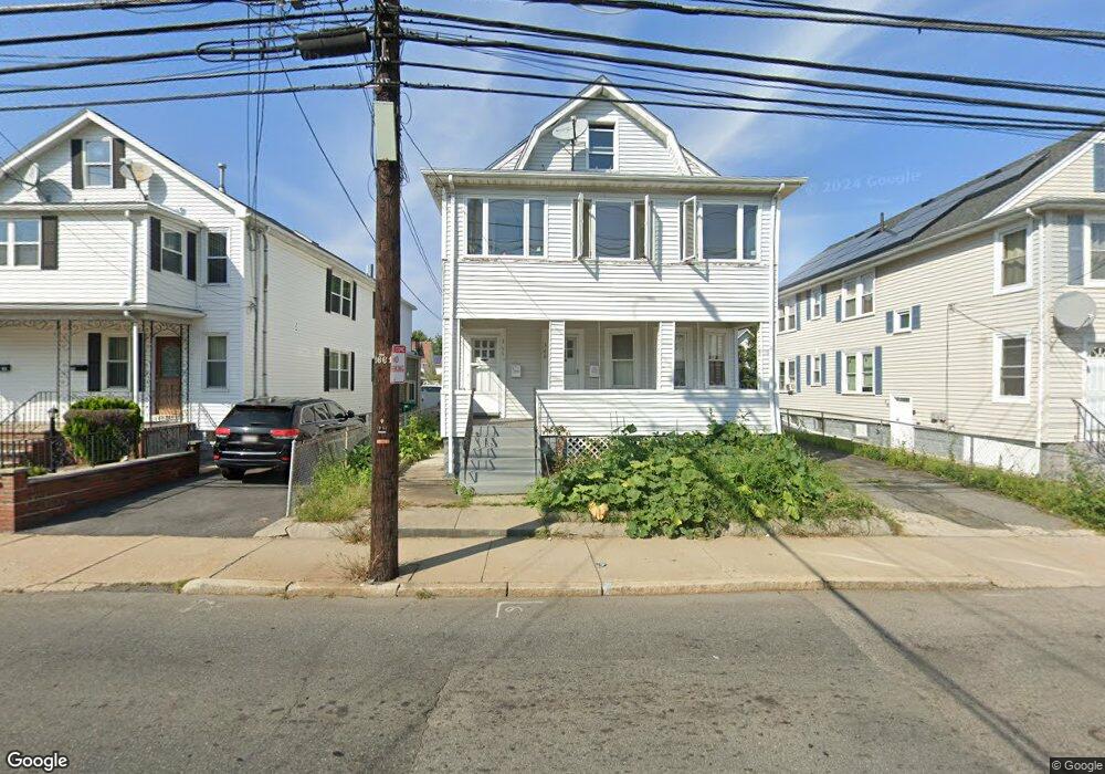
366 Riverside Ave Unit 1 Medford, MA 02155
Glenwood NeighborhoodEstimated Value: $1,019,000 - $1,184,000
2
Beds
1
Bath
1,000
Sq Ft
$1,119/Sq Ft
Est. Value
About This Home
This home is located at 366 Riverside Ave Unit 1, Medford, MA 02155 and is currently estimated at $1,118,964, approximately $1,118 per square foot. 366 Riverside Ave Unit 1 is a home located in Middlesex County with nearby schools including Medford High School, St. Joseph School, and St. Clement Elementary School.
Ownership History
Date
Name
Owned For
Owner Type
Purchase Details
Closed on
Nov 30, 2018
Sold by
Louzada Menezio and Dossantos-Louzada Clarice
Bought by
Popy Fatema A
Current Estimated Value
Home Financials for this Owner
Home Financials are based on the most recent Mortgage that was taken out on this home.
Original Mortgage
$734,635
Outstanding Balance
$652,934
Interest Rate
5.25%
Mortgage Type
FHA
Estimated Equity
$466,030
Create a Home Valuation Report for This Property
The Home Valuation Report is an in-depth analysis detailing your home's value as well as a comparison with similar homes in the area
Home Values in the Area
Average Home Value in this Area
Purchase History
| Date | Buyer | Sale Price | Title Company |
|---|---|---|---|
| Popy Fatema A | $760,000 | -- |
Source: Public Records
Mortgage History
| Date | Status | Borrower | Loan Amount |
|---|---|---|---|
| Open | Popy Fatema A | $734,635 |
Source: Public Records
Tax History Compared to Growth
Tax History
| Year | Tax Paid | Tax Assessment Tax Assessment Total Assessment is a certain percentage of the fair market value that is determined by local assessors to be the total taxable value of land and additions on the property. | Land | Improvement |
|---|---|---|---|---|
| 2025 | $8,116 | $952,600 | $347,500 | $605,100 |
| 2024 | $8,116 | $952,600 | $347,500 | $605,100 |
| 2023 | $7,954 | $919,500 | $324,800 | $594,700 |
| 2022 | $8,019 | $890,000 | $295,300 | $594,700 |
| 2021 | $7,536 | $800,800 | $281,200 | $519,600 |
| 2020 | $7,428 | $809,100 | $281,200 | $527,900 |
| 2019 | $6,896 | $718,300 | $255,600 | $462,700 |
| 2018 | $6,553 | $639,900 | $232,400 | $407,500 |
| 2017 | $6,144 | $581,800 | $217,200 | $364,600 |
| 2016 | $5,991 | $535,400 | $197,400 | $338,000 |
| 2015 | $5,652 | $483,100 | $188,000 | $295,100 |
Source: Public Records
Map
Nearby Homes
- 314 Riverside Ave Unit 305
- 18 Carolina St
- 3920 Mystic Valley Pkwy Unit 217W
- 3920 Mystic Valley Pkwy Unit 115
- 3920 Mystic Valley Pkwy Unit 1119W
- 3920 Mystic Valley Pkwy Unit 704
- 830 Fellsway
- 18 Sheridan Ave
- 20 Sheridan Ave Unit 20
- 99 4th St Unit 1
- 5 Mc Donald Rd
- 53 Sheridan Ave
- 547 - 549 Riverside Ave
- 86 Pinkert St
- 82 2nd St
- 159 Central Ave Unit 159
- 320 Middlesex Ave Unit A406
- 320 Middlesex Ave Unit B205
- 320 Middlesex Ave Unit F404
- 320 Middlesex Ave Unit B109
- 366 Riverside Ave
- 364 Riverside Ave
- 362 Riverside Ave
- 360 Riverside Ave
- 374 Riverside Ave
- 374 Riverside Ave
- 374 Riverside Ave Unit 2
- 376 Riverside Ave
- 372 Riverside Ave
- 61 Ross St
- 367 Riverside Ave
- 356 Riverside Ave
- 356 Riverside Ave Unit 2
- 359 Riverside Ave
- 359 Riverside Ave Unit 2
- 41 Ross St
- 373 Riverside Ave
- 357 Riverside Ave
- 37 Ross St
- 6-8 Rockwell Ave Unit 8