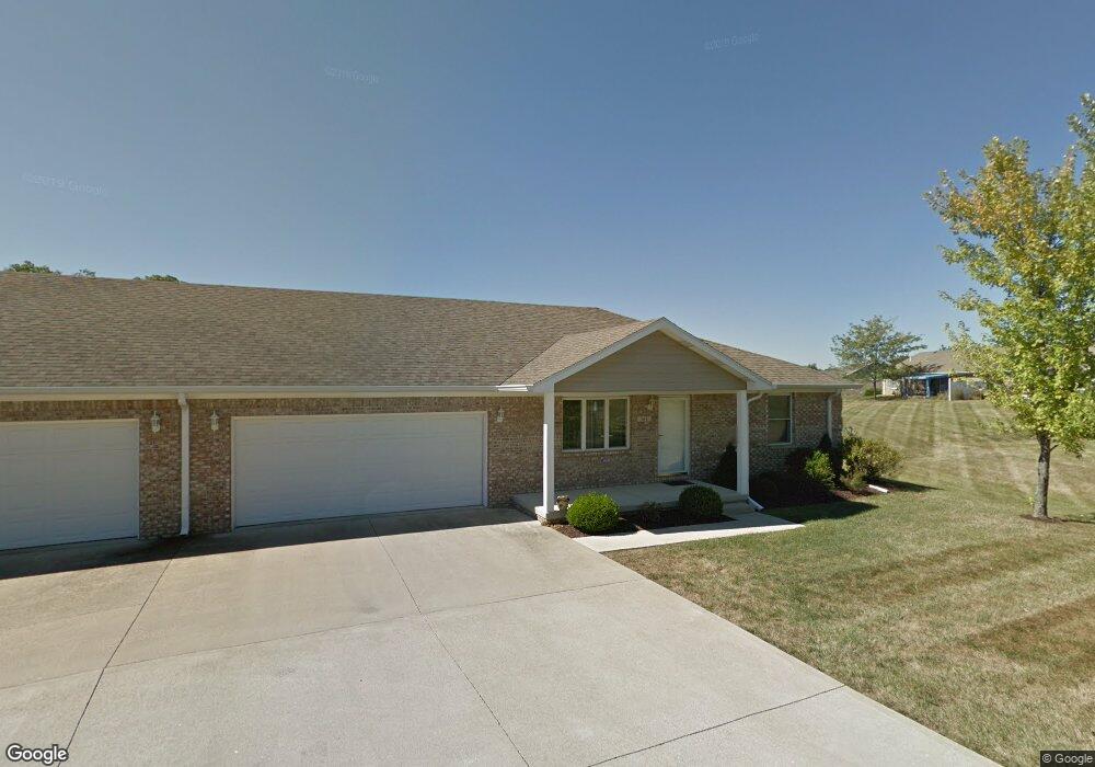
366 Southfork Dr Crawfordsville, IN 47933
Estimated Value: $208,000 - $241,000
2
Beds
2
Baths
1,320
Sq Ft
$167/Sq Ft
Est. Value
About This Home
This home is located at 366 Southfork Dr, Crawfordsville, IN 47933 and is currently estimated at $219,826, approximately $166 per square foot. 366 Southfork Dr is a home located in Montgomery County with nearby schools including Mollie B. Hoover Elementary School, Laura Hose Elementary School, and Meredith Nicholson Elementary School.
Ownership History
Date
Name
Owned For
Owner Type
Purchase Details
Closed on
Jul 8, 2022
Sold by
Cline Harold R
Bought by
Adams David K
Current Estimated Value
Home Financials for this Owner
Home Financials are based on the most recent Mortgage that was taken out on this home.
Original Mortgage
$196,200
Outstanding Balance
$186,678
Interest Rate
5.1%
Mortgage Type
New Conventional
Estimated Equity
$33,148
Purchase Details
Closed on
Sep 6, 2017
Sold by
Custer Sara M and Mason Shannon S
Bought by
Cline Harold R and Cline Dorothy J
Create a Home Valuation Report for This Property
The Home Valuation Report is an in-depth analysis detailing your home's value as well as a comparison with similar homes in the area
Home Values in the Area
Average Home Value in this Area
Purchase History
| Date | Buyer | Sale Price | Title Company |
|---|---|---|---|
| Adams David K | $218,000 | None Listed On Document | |
| Cline Harold R | -- | Partners Title Group Inc |
Source: Public Records
Mortgage History
| Date | Status | Borrower | Loan Amount |
|---|---|---|---|
| Open | Adams David K | $196,200 |
Source: Public Records
Tax History Compared to Growth
Tax History
| Year | Tax Paid | Tax Assessment Tax Assessment Total Assessment is a certain percentage of the fair market value that is determined by local assessors to be the total taxable value of land and additions on the property. | Land | Improvement |
|---|---|---|---|---|
| 2024 | $2,148 | $176,600 | $19,800 | $156,800 |
| 2023 | $2,112 | $180,300 | $19,800 | $160,500 |
| 2022 | $1,133 | $164,100 | $19,800 | $144,300 |
| 2021 | $1,111 | $141,300 | $19,800 | $121,500 |
| 2020 | $1,089 | $136,300 | $19,800 | $116,500 |
| 2019 | $1,068 | $136,800 | $19,800 | $117,000 |
| 2018 | $1,047 | $127,000 | $16,200 | $110,800 |
| 2017 | $1,338 | $125,900 | $16,200 | $109,700 |
| 2016 | $2,880 | $121,400 | $16,200 | $105,200 |
| 2014 | $2,881 | $118,700 | $16,200 | $102,500 |
| 2013 | $2,881 | $115,700 | $16,200 | $99,500 |
Source: Public Records
Map
Nearby Homes
- 3 Sterling Ln
- 1 Sterling Ln
- 00 N Nucor Rd
- 00 E Co Rd 350 Rd S
- 00 E State Road 32
- 1603 John St
- 408 Hughes St
- 1503 Payton St
- 411 Vandalia Ct
- 917 S State Road 47
- 1404 Payton St
- 1121 Mill St
- 1107 Danville Ave
- 0 S Us 231 Unit MBR22024646
- Ironwood Plan at Hawkview
- Chestnut Plan at Hawkview
- Ashton Plan at Hawkview
- Cooper Plan at Hawkview
- Juniper Plan at Hawkview
- Norway Plan at Hawkview
- 366 Southfork Dr Unit 11
- 364 S Fork Dr Unit 364
- 364 Southfork Dr
- 370 Southfork Dr
- 370 Southfork Dr Unit 370
- 362 Southfork Dr
- 1415 Trophy Ct
- 1415 Trophy Ct
- 1480 Redwood Dr
- 1411 Redwood Dr
- 360 Southfork Dr
- 368 Southfork Dr
- 368 S Fork Dr
- 360 S Fork Dr Unit 10
- 360 S Fork Dr
- 374 Southfork Dr
- 358 Southfork Dr
- 358 S Fork Dr
- 313 Dry Branch Dr
- 313 Dry Branch Dr Unit 313