366 W Cienaga Ashfork, AR 86320
Estimated Value: $234,000
--
Bed
--
Bath
--
Sq Ft
2.48
Acres
About This Home
This home is located at 366 W Cienaga, Ashfork, AR 86320 and is currently estimated at $234,000. 366 W Cienaga is a home located in Coconino County with nearby schools including Williams Elementary/Middle School and Williams High School.
Ownership History
Date
Name
Owned For
Owner Type
Purchase Details
Closed on
Sep 25, 2020
Sold by
Stouffer Matthew Lee and Stouffer Mila Laree
Bought by
Orozco Pete and Orozco Rosa
Current Estimated Value
Purchase Details
Closed on
Jan 18, 2013
Sold by
Stouffer James A and Hutchinson Elsie Marie
Bought by
Stouffer Matthew Lee and Stouffer Mila Laree
Purchase Details
Closed on
Apr 13, 1998
Sold by
Jakes Old West Properties
Bought by
Stouffer James A and Hutchinson Elsie Marie
Purchase Details
Closed on
Nov 20, 1997
Sold by
Shallenberger June M
Bought by
Jakes Old West Properties Inc
Create a Home Valuation Report for This Property
The Home Valuation Report is an in-depth analysis detailing your home's value as well as a comparison with similar homes in the area
Home Values in the Area
Average Home Value in this Area
Purchase History
| Date | Buyer | Sale Price | Title Company |
|---|---|---|---|
| Orozco Pete | -- | None Available | |
| Stouffer Matthew Lee | -- | Accommodation | |
| Stouffer James A | $5,000 | Pioneer Title Agency | |
| Jakes Old West Properties Inc | -- | Chicago Title Insurance Co |
Source: Public Records
Tax History Compared to Growth
Tax History
| Year | Tax Paid | Tax Assessment Tax Assessment Total Assessment is a certain percentage of the fair market value that is determined by local assessors to be the total taxable value of land and additions on the property. | Land | Improvement |
|---|---|---|---|---|
| 2025 | $389 | $4,961 | -- | -- |
| 2024 | $389 | $5,061 | -- | -- |
| 2023 | $361 | $3,440 | $0 | $0 |
| 2022 | $341 | $2,657 | $0 | $0 |
| 2021 | $329 | $2,445 | $0 | $0 |
| 2020 | $339 | $2,570 | $0 | $0 |
| 2019 | $345 | $2,381 | $0 | $0 |
| 2018 | $341 | $2,347 | $0 | $0 |
| 2017 | $352 | $2,379 | $0 | $0 |
| 2016 | $331 | $2,460 | $0 | $0 |
| 2015 | $347 | $2,703 | $0 | $0 |
Source: Public Records
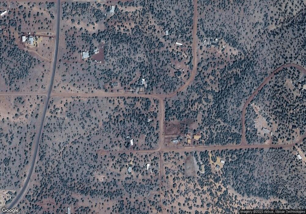
Map
Nearby Homes
- 970 Westwood Ranch
- 912 Westwood Ranch
- 991 Wolf Run Unit 991
- 0000 Wolf Run -- Unit 985
- 223 Westwood Ranch
- 135 N Pineveta Rd
- 144 B N Ranch Rd Unit 144B
- 166 W2 Westwood Ranch
- 98-C 10 Tanks Rd
- 167 N Cattle Dr
- 000 N Pineveta Rd
- 0000 Unassigned -- Unit 581
- 0 Dozer Unit 202460
- 0 Dozer Unit PAR1077142
- 0 Dozer Unit PAR1077141
- 0 Dozer Unit 202461
- 0 Dozer -- Unit 6933054
- 0 Dozer -- Unit 145
- 11189 Huckleberry Rd
- 137/138 Dozer Ave
- 47093 Seventh St
- 2637 N Muriel Dr
- 17AB W of Dunbar Northvie
- n/a Randall Rd
- Lot 51 Grand Blvd
- 217 E Dead Cow Way
- 312 Wrong Way
- NA Unassigned By County
- 1938 N Hals Way
- 10 Acres Off Dead Cow Way
- 12014 E Lan Dr
- 2637 Muriel
- 480 W Bird Doglane
- 859 W Cedar St
- 859 Cedar St
- 480 Bird Dog Ln
- 2640 Cumberland Rd
- 366 W Cienega Dr
- 10412 Martlet Dr
- 5827 Rochester