3662 S Highway 191 Rexburg, ID 83440
Estimated Value: $455,000 - $593,000
4
Beds
2
Baths
2,520
Sq Ft
$207/Sq Ft
Est. Value
About This Home
This home is located at 3662 S Highway 191, Rexburg, ID 83440 and is currently estimated at $522,415, approximately $207 per square foot. 3662 S Highway 191 is a home located in Madison County with nearby schools including South Fork Elementary School, Madison Junior High School, and Madison Senior High School.
Ownership History
Date
Name
Owned For
Owner Type
Purchase Details
Closed on
Jun 7, 2021
Sold by
Robison Rod and Robison Sharon
Bought by
Beauvais Adam
Current Estimated Value
Home Financials for this Owner
Home Financials are based on the most recent Mortgage that was taken out on this home.
Original Mortgage
$416,500
Outstanding Balance
$377,089
Interest Rate
2.9%
Mortgage Type
New Conventional
Estimated Equity
$145,326
Create a Home Valuation Report for This Property
The Home Valuation Report is an in-depth analysis detailing your home's value as well as a comparison with similar homes in the area
Home Values in the Area
Average Home Value in this Area
Purchase History
| Date | Buyer | Sale Price | Title Company |
|---|---|---|---|
| Beauvais Adam | -- | Alliance Ttl Rexburg Office |
Source: Public Records
Mortgage History
| Date | Status | Borrower | Loan Amount |
|---|---|---|---|
| Open | Beauvais Adam | $416,500 |
Source: Public Records
Tax History Compared to Growth
Tax History
| Year | Tax Paid | Tax Assessment Tax Assessment Total Assessment is a certain percentage of the fair market value that is determined by local assessors to be the total taxable value of land and additions on the property. | Land | Improvement |
|---|---|---|---|---|
| 2025 | $2,118 | $428,720 | $80,000 | $348,720 |
| 2024 | $2,118 | $428,720 | $80,000 | $348,720 |
| 2023 | $2,118 | $398,069 | $0 | $0 |
| 2022 | $2,521 | $374,288 | $52,605 | $321,683 |
| 2021 | $1,747 | $269,610 | $37,605 | $232,005 |
| 2020 | $1,432 | $218,093 | $30,133 | $187,960 |
| 2019 | $1,350 | $190,753 | $30,133 | $160,620 |
| 2018 | $1,253 | $175,565 | $30,133 | $145,432 |
| 2017 | $1,236 | $172,191 | $29,797 | $142,394 |
| 2016 | $1,176 | $165,026 | $25,000 | $140,026 |
| 2015 | $1,175 | $165,026 | $0 | $0 |
| 2013 | -- | $164,921 | $0 | $0 |
Source: Public Records
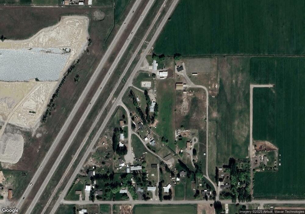
Map
Nearby Homes
- Lot 5 W 3800 S
- 4064 S 2000 W
- L8 B2 Twilight Rd
- L1 B4 Paradise Ave
- L5 B4 Paradise Ave
- L3 B4 Paradise Ave
- L2 B4 Paradise Ave
- L4 B4 Paradise Ave
- L9 B1 Sundown Rd
- L5 B2 Twilight Rd
- L1 B1 Solar Rd
- L2 B1 Sundown Rd
- L4 B2 Twilight Rd
- L19 B3 Twilight Rd
- L6 B1 Sundown Rd
- L4 B1 Sundown Rd
- L1 B2 Solar Rd
- L2 B2 Twilight Rd
- 2072 W 4700 S
- TBD Sequoia Ct
- 3662 S Yellowstone Hwy
- 3670 Harris Ln
- 3663 Harris Ln
- 2523 Lorin Dr
- 2542 Lorin Dr
- 2418 W 3800 S
- 3616 S Highway 191
- 3682 Lorin Dr
- 3695 Harris Ln
- 2532 Lorin Dr
- 3690 Lorin Dr
- 2416 W 3800 S Unit 1
- 3720 Harris Ln
- 2502 W 3800 S
- 3733 Harris Ln
- 2414 W 3800 S
- 2540 W 3800 S
- 2458 W 3800 S
- 2520 W 3800 S
- 2486 W 3800 S