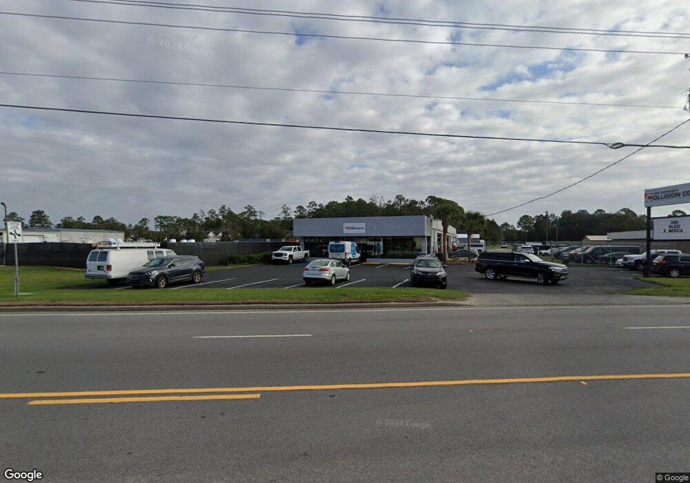
3663 Community Rd Brunswick, GA 31520
Estimated Value: $1,625,649
--
Bed
--
Bath
9,500
Sq Ft
$171/Sq Ft
Est. Value
About This Home
This home is located at 3663 Community Rd, Brunswick, GA 31520 and is currently estimated at $1,625,649, approximately $171 per square foot. 3663 Community Rd is a home located in Glynn County with nearby schools including Glyndale Elementary School, Needwood Middle School, and Brunswick High School.
Ownership History
Date
Name
Owned For
Owner Type
Purchase Details
Closed on
Oct 25, 2024
Sold by
Mussara Holding Llc
Bought by
Cadet 23 Llc
Current Estimated Value
Purchase Details
Closed on
May 25, 2021
Sold by
Savs14 Llc
Bought by
Mussara Holdings Llc
Purchase Details
Closed on
Jun 12, 2013
Sold by
Hurty Properties Llc
Bought by
Savs14 Llc
Home Financials for this Owner
Home Financials are based on the most recent Mortgage that was taken out on this home.
Original Mortgage
$7,437,180
Interest Rate
3.53%
Mortgage Type
Commercial
Purchase Details
Closed on
May 2, 2008
Sold by
Nelson Jack R
Bought by
Hurty Properties Llc
Home Financials for this Owner
Home Financials are based on the most recent Mortgage that was taken out on this home.
Original Mortgage
$600,000
Interest Rate
5.86%
Mortgage Type
Commercial
Create a Home Valuation Report for This Property
The Home Valuation Report is an in-depth analysis detailing your home's value as well as a comparison with similar homes in the area
Home Values in the Area
Average Home Value in this Area
Purchase History
| Date | Buyer | Sale Price | Title Company |
|---|---|---|---|
| Cadet 23 Llc | $1,600,000 | -- | |
| Mussara Holdings Llc | -- | -- | |
| Savs14 Llc | -- | -- | |
| Hurty Properties Llc | $575,000 | -- |
Source: Public Records
Mortgage History
| Date | Status | Borrower | Loan Amount |
|---|---|---|---|
| Previous Owner | Savs14 Llc | $7,437,180 | |
| Previous Owner | Hurty Properties Llc | $600,000 |
Source: Public Records
Tax History Compared to Growth
Tax History
| Year | Tax Paid | Tax Assessment Tax Assessment Total Assessment is a certain percentage of the fair market value that is determined by local assessors to be the total taxable value of land and additions on the property. | Land | Improvement |
|---|---|---|---|---|
| 2025 | $6,381 | $303,600 | $103,080 | $200,520 |
| 2024 | $4,670 | $222,160 | $40,360 | $181,800 |
| 2023 | $8,307 | $222,160 | $40,360 | $181,800 |
| 2022 | $8,303 | $222,160 | $40,360 | $181,800 |
| 2021 | $8,403 | $220,200 | $38,400 | $181,800 |
| 2020 | $8,494 | $220,200 | $38,400 | $181,800 |
| 2019 | $4,886 | $220,200 | $38,400 | $181,800 |
| 2018 | $5,291 | $220,200 | $38,400 | $181,800 |
| 2017 | $8,218 | $220,200 | $38,400 | $181,800 |
| 2016 | $7,826 | $220,200 | $38,400 | $181,800 |
| 2015 | $7,848 | $220,200 | $38,400 | $181,800 |
| 2014 | $7,848 | $220,200 | $38,400 | $181,800 |
Source: Public Records
Map
Nearby Homes
- BLK 14 LOT 11 Red Bud Ct
- 207 Lantana Ct
- 319 Stonemill Dr
- 4807 Palamor Dr
- 500 Ashbrook Dr
- 214 Nell Leone Dr
- 158 Cypress Run Dr
- 104 Windridge Dr
- 287 & 289 Windridge Dr
- 26 White Oak Ct
- 366 Moss Creek Ln
- 310 Moss Creek Ln
- 153 & 169 Granville Nix Ln
- 2111 Clairmont Ln
- 4166 Southern Rd
- 224 Souters Dairy Ln
- 126 Lake View Cir
- 2600 Cate St
- 2340 Cate St
- TR 6 Emanuel Farm Rd
- 3651 Community Rd
- 3675 Community Rd
- 211 Camellia Ct
- 211 Camelia Ct
- 209 Camelia Ct
- 207 Camelia Ct
- 209 Camellia Ct
- 109 Camellia Ct
- 109 Camellia Ct
- 207 Camellia Ct
- 107 Camellia Ct
- 205 Camelia Ct
- 110 Camellia Ct
- 210 Camelia Ct
- 210 Camilla Ct
- 205 Camellia Ct Unit K-2
- 205 Camellia Ct
- 205 Camellia Ct Unit 205
- 3640 Community Rd
- 210 Camellia Ct