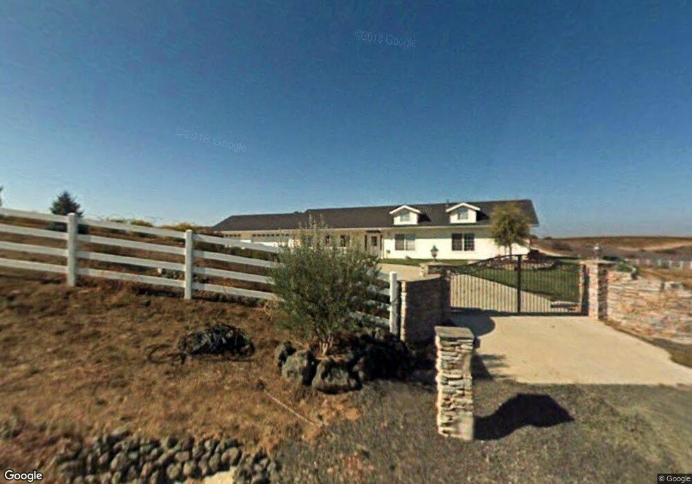
3663 Debonair Dr Paso Robles, CA 93446
Estimated Value: $720,000 - $897,000
3
Beds
2
Baths
1,890
Sq Ft
$448/Sq Ft
Est. Value
About This Home
This home is located at 3663 Debonair Dr, Paso Robles, CA 93446 and is currently estimated at $846,164, approximately $447 per square foot. 3663 Debonair Dr is a home located in San Luis Obispo County with nearby schools including Kermit King Elementary School, Daniel Lewis Middle School, and Paso Robles High School.
Ownership History
Date
Name
Owned For
Owner Type
Purchase Details
Closed on
Dec 21, 2000
Sold by
Miller Robert H and Miller Marie K
Bought by
Macconell Kirk Allen and Macconell Deann Marie
Current Estimated Value
Home Financials for this Owner
Home Financials are based on the most recent Mortgage that was taken out on this home.
Original Mortgage
$45,000
Interest Rate
7.08%
Mortgage Type
Seller Take Back
Create a Home Valuation Report for This Property
The Home Valuation Report is an in-depth analysis detailing your home's value as well as a comparison with similar homes in the area
Purchase History
| Date | Buyer | Sale Price | Title Company |
|---|---|---|---|
| Macconell Kirk Allen | $60,000 | First American Title |
Source: Public Records
Mortgage History
| Date | Status | Borrower | Loan Amount |
|---|---|---|---|
| Previous Owner | Macconell Kirk Allen | $45,000 |
Source: Public Records
Tax History
| Year | Tax Paid | Tax Assessment Tax Assessment Total Assessment is a certain percentage of the fair market value that is determined by local assessors to be the total taxable value of land and additions on the property. | Land | Improvement |
|---|---|---|---|---|
| 2025 | $4,424 | $425,237 | $97,638 | $327,599 |
| 2024 | $4,343 | $416,900 | $95,724 | $321,176 |
| 2023 | $4,343 | $408,727 | $93,848 | $314,879 |
| 2022 | $4,267 | $400,713 | $92,008 | $308,705 |
| 2021 | $4,181 | $392,856 | $90,204 | $302,652 |
| 2020 | $4,138 | $388,829 | $89,280 | $299,549 |
| 2019 | $4,055 | $381,206 | $87,530 | $293,676 |
| 2018 | $3,974 | $373,732 | $85,814 | $287,918 |
| 2017 | $3,720 | $366,405 | $84,132 | $282,273 |
| 2016 | $3,646 | $359,222 | $82,483 | $276,739 |
| 2015 | $3,589 | $353,828 | $81,245 | $272,583 |
| 2014 | $3,453 | $346,898 | $79,654 | $267,244 |
Source: Public Records
Map
Nearby Homes
- 8199 Plane View Place
- 7435 Iverson Place
- 7080 Iverson Place
- 5930 Forked Horn Place
- 5940 Forked Horn Place
- 5920 Forked Horn Place
- 5995 Black Tail Place
- 6944 Union Rd
- 5880 Silverado Place
- 5602 Prancing Deer Place
- 5920 Lone Pine Place
- 7835 Blue Moon Rd
- 5660 Ground Squirrel Hollow
- 5325 Morning Star Place
- 5035 Stagg Hill Place
- 5160 Needs Road Name
- 1 Dry Canyon Rd
- 1975 Hidden Acre Ln
- 4070 Deer Creek
- 4568 Artesia Dr
- 3640 Debonair Dr
- 8050 Plane View Place
- 8075 Plane View Place
- 3553 Debonair Dr
- 8025 Plane View Place
- 8020 Plane View Place
- 8170 Plane View Place
- 8010 Plane View Place
- 8110 Plane View Place
- 8035 Plane View Place
- 3533 Debonair Dr
- 3533 Debonair Dr
- 8190 Plane View Place
- 8115 Plane View Place
- 8135 Plane View Place
- 8233 Plane View Place
- 8240 Plane View Place
- 8175 Plane View Place
- 3495 Debonair Dr
- 8191 Plane View Place
Your Personal Tour Guide
Ask me questions while you tour the home.