3663 Thornton Hwy Charlotte, MI 48813
Estimated Value: $286,000 - $346,000
3
Beds
2
Baths
1,232
Sq Ft
$266/Sq Ft
Est. Value
About This Home
This home is located at 3663 Thornton Hwy, Charlotte, MI 48813 and is currently estimated at $327,282, approximately $265 per square foot. 3663 Thornton Hwy is a home located in Eaton County with nearby schools including Fern Persons Elementary School, Olivet Middle School, and Olivet High School.
Ownership History
Date
Name
Owned For
Owner Type
Purchase Details
Closed on
Mar 25, 2006
Sold by
Cords Loyd Richard
Bought by
Cords Loyd and Cords Angela
Current Estimated Value
Home Financials for this Owner
Home Financials are based on the most recent Mortgage that was taken out on this home.
Original Mortgage
$23,000
Interest Rate
5.98%
Mortgage Type
Fannie Mae Freddie Mac
Create a Home Valuation Report for This Property
The Home Valuation Report is an in-depth analysis detailing your home's value as well as a comparison with similar homes in the area
Home Values in the Area
Average Home Value in this Area
Purchase History
| Date | Buyer | Sale Price | Title Company |
|---|---|---|---|
| Cords Loyd | -- | None Available |
Source: Public Records
Mortgage History
| Date | Status | Borrower | Loan Amount |
|---|---|---|---|
| Closed | Cords Loyd | $23,000 |
Source: Public Records
Tax History Compared to Growth
Tax History
| Year | Tax Paid | Tax Assessment Tax Assessment Total Assessment is a certain percentage of the fair market value that is determined by local assessors to be the total taxable value of land and additions on the property. | Land | Improvement |
|---|---|---|---|---|
| 2025 | $2,835 | $174,700 | $0 | $0 |
| 2024 | $800 | $152,550 | $0 | $0 |
| 2023 | $762 | $129,910 | $0 | $0 |
| 2022 | $2,322 | $127,610 | $0 | $0 |
| 2021 | $2,216 | $122,390 | $0 | $0 |
| 2020 | $2,203 | $123,900 | $0 | $0 |
| 2019 | $2,164 | $115,400 | $0 | $0 |
| 2018 | $2,114 | $106,969 | $0 | $0 |
| 2017 | $1,403 | $85,421 | $0 | $0 |
| 2016 | -- | $83,281 | $0 | $0 |
| 2015 | -- | $69,519 | $0 | $0 |
| 2014 | -- | $38,271 | $0 | $0 |
| 2013 | -- | $65,462 | $0 | $0 |
Source: Public Records
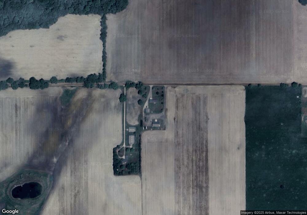
Map
Nearby Homes
- 0 Pinebluff Dr Parcel G Unit 258027
- 0 Pinebluff Dr Parcel P Unit 258042
- 0 Parcel A Pinebluff Dr Unit 257983
- 0 Pinebluff Dr Unit 265338
- 4783 S Stine Rd
- 0 Montels Parcel H Way
- 4755 Carlisle Hwy
- Vl Montels Parcel D Way
- 854 S Ainger Rd
- 0 Elm Rd
- 220 N Chester Rd
- 827 Walnut St
- 757 W Shepherd St
- 4954 Marshall Rd
- 738 W Shepherd St
- 1178 Kristina Dr
- 955 Emerald Dr Unit 35
- 509 W 3rd St
- 1272 W Lawrence Hwy
- 272 E 5 Point Hwy
- 0 Thornton Unit 226173
- 0 Thornton Unit 161967
- 0 Thornton Unit 55015
- 0 Thornton Unit 3295009
- 0 Thornton Unit 3295085
- 0 Thornton Unit 254671
- 0 Thornton Unit 65885
- 0 Thornton Unit 68106
- 0 Thornton Unit 242040
- 3357 Thornton Hwy
- 3040 S Chester Rd
- 3307 Thornton Hwy
- 3108 S Chester Rd
- 3108 S Chester Rd Unit R2
- 3136 S Chester Rd
- 3150 S Chester Rd
- 3216 S Chester Rd
- 3262 S Chester Rd
- 4093 Thornton Hwy
- 4101 Thornton Hwy