Estimated Value: $302,000 - $399,263
3
Beds
3
Baths
2,073
Sq Ft
$176/Sq Ft
Est. Value
About This Home
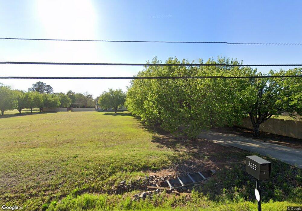
This home is located at 3663 Us Highway 41 N, Byron, GA 31008 and is currently estimated at $364,754, approximately $175 per square foot. 3663 Us Highway 41 N is a home located in Houston County with nearby schools including Eagle Springs Elementary School, Thomson Middle School, and Northside High School.
Ownership History
Date
Name
Owned For
Owner Type
Purchase Details
Closed on
Aug 18, 2020
Sold by
Moody Sally M
Bought by
Moody Sally M and Moody Harvey R
Current Estimated Value
Purchase Details
Closed on
Jul 14, 2011
Sold by
Sarpy Katrina Marie
Bought by
Sarpy Katrina Marie and Sarpy Edward T
Purchase Details
Closed on
Jul 7, 2011
Sold by
Robins Federal Credit Union
Bought by
Sarpy Katrina Marie
Purchase Details
Closed on
Feb 1, 2011
Sold by
Marolf Barbara J and Marolf Stephen W
Bought by
Robins Federal Credit Union
Purchase Details
Closed on
Sep 21, 2004
Sold by
Sasnett Richard B and Evelyn Joy
Bought by
Marolf Barbara J and Marolf Stephen W
Purchase Details
Closed on
Feb 25, 2003
Sold by
Sasnett Burl and Sasnett Josephine
Bought by
Sasnett Richard B and Evelyn Joyce
Purchase Details
Closed on
Dec 3, 1992
Sold by
Sasnett Burl and Sasnett Josephine
Bought by
Sasnett Richard B and Evelyn Joyce
Purchase Details
Closed on
Jan 2, 1984
Sold by
Holleman L C
Bought by
Sasnett Burl and Sasnett Josephine
Purchase Details
Closed on
Oct 18, 1967
Sold by
Bateman W C
Bought by
Holleman L C
Create a Home Valuation Report for This Property
The Home Valuation Report is an in-depth analysis detailing your home's value as well as a comparison with similar homes in the area
Home Values in the Area
Average Home Value in this Area
Purchase History
| Date | Buyer | Sale Price | Title Company |
|---|---|---|---|
| Moody Sally M | -- | None Available | |
| Sarpy Katrina Marie | -- | None Available | |
| Sarpy Katrina Marie | -- | None Available | |
| Robins Federal Credit Union | $116,000 | None Available | |
| Marolf Barbara J | $180,000 | -- | |
| Sasnett Richard B | -- | -- | |
| Sasnett Richard B | -- | -- | |
| Sasnett Burl | -- | -- | |
| Holleman L C | -- | -- |
Source: Public Records
Tax History
| Year | Tax Paid | Tax Assessment Tax Assessment Total Assessment is a certain percentage of the fair market value that is determined by local assessors to be the total taxable value of land and additions on the property. | Land | Improvement |
|---|---|---|---|---|
| 2025 | $253 | $134,840 | $46,000 | $88,840 |
| 2024 | $3,150 | $131,680 | $46,000 | $85,680 |
| 2023 | $3,005 | $124,320 | $42,000 | $82,320 |
| 2022 | $3,005 | $124,320 | $42,000 | $82,320 |
| 2021 | $2,703 | $111,240 | $36,000 | $75,240 |
| 2020 | $1,774 | $72,680 | $23,400 | $49,280 |
| 2019 | $1,774 | $72,680 | $23,400 | $49,280 |
| 2018 | $1,774 | $72,680 | $23,400 | $49,280 |
| 2017 | $1,776 | $72,680 | $23,400 | $49,280 |
| 2016 | $1,778 | $72,680 | $23,400 | $49,280 |
| 2015 | $1,733 | $72,680 | $23,400 | $49,280 |
| 2014 | -- | $72,680 | $23,400 | $49,280 |
| 2013 | -- | $72,680 | $23,400 | $49,280 |
Source: Public Records
Map
Nearby Homes
- 177 Gleneagle Dr
- 123 Logan's Mill Trail
- 207 Gleneagle Dr
- 184 Amelia Dr
- 175 Arbor Creek
- 120 Marlin Terrace
- 104 Sourwood Ln
- 119 Sourwood Ln
- 119 Bulloch Ct
- 118 Bulloch Ct
- 108 Chatham Ct
- 110 Bulloch Ct
- 721 Georgian Walk
- 732 Georgian Walk
- 706 Georgian Walk
- 503 Georgian Walk
- 221 Hanover Dr
- 502 Georgian Walk
- 107 Monroe Ct
- 504 Georgian Walk
- 228 Amelia Dr
- 228 Amelia Dr Unit 22
- 228 Amelia Dr Unit 21
- 230 Amelia Dr
- 226 Amelia Dr
- 224 Amelia Dr
- 222 Amelia Dr
- 232 Amelia Dr
- 234 Amelia Dr Unit 19
- 234 Amelia Dr
- 220 Amelia Dr
- 3661 Us Highway 41 N
- 231 Amelia Dr
- 218 Amelia Dr
- 310 Tarpon Trace
- 216 Amelia Dr
- 236 Amelia Dr Unit /18
- 235 Amelia Dr
- 308 Tarpon Trace
- 214 Amelia Dr
Your Personal Tour Guide
Ask me questions while you tour the home.