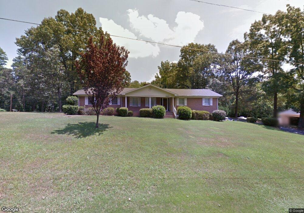
3665 Linn Ave Unit 356 Kannapolis, NC 28083
Estimated Value: $330,000 - $342,700
--
Bed
2
Baths
1,489
Sq Ft
$226/Sq Ft
Est. Value
About This Home
This home is located at 3665 Linn Ave Unit 356, Kannapolis, NC 28083 and is currently estimated at $336,175, approximately $225 per square foot. 3665 Linn Ave Unit 356 is a home located in Rowan County with nearby schools including Landis Elementary School, Corriher Lipe Middle School, and South Rowan High School.
Ownership History
Date
Name
Owned For
Owner Type
Purchase Details
Closed on
Sep 10, 2021
Sold by
Phillips Lisa M and Phillips Darryl R
Bought by
Thomas Betty J and Aguiar Jasmine N
Current Estimated Value
Home Financials for this Owner
Home Financials are based on the most recent Mortgage that was taken out on this home.
Original Mortgage
$224,000
Outstanding Balance
$203,823
Interest Rate
2.8%
Mortgage Type
New Conventional
Estimated Equity
$132,352
Purchase Details
Closed on
Dec 31, 2008
Sold by
Mccurdy Kathleen C
Bought by
Mccurdy Ronald E and Mccurdy Thomas D
Create a Home Valuation Report for This Property
The Home Valuation Report is an in-depth analysis detailing your home's value as well as a comparison with similar homes in the area
Home Values in the Area
Average Home Value in this Area
Purchase History
| Date | Buyer | Sale Price | Title Company |
|---|---|---|---|
| Thomas Betty J | $280,000 | None Available | |
| Mccurdy Ronald E | -- | None Available |
Source: Public Records
Mortgage History
| Date | Status | Borrower | Loan Amount |
|---|---|---|---|
| Open | Thomas Betty J | $224,000 |
Source: Public Records
Tax History Compared to Growth
Tax History
| Year | Tax Paid | Tax Assessment Tax Assessment Total Assessment is a certain percentage of the fair market value that is determined by local assessors to be the total taxable value of land and additions on the property. | Land | Improvement |
|---|---|---|---|---|
| 2025 | $1,632 | $262,169 | $54,079 | $208,090 |
| 2024 | $1,632 | $262,169 | $54,079 | $208,090 |
| 2023 | $1,632 | $262,169 | $54,079 | $208,090 |
| 2022 | $1,098 | $156,904 | $34,499 | $122,405 |
| 2021 | $1,098 | $156,904 | $34,499 | $122,405 |
| 2020 | $1,098 | $156,904 | $34,499 | $122,405 |
| 2019 | $1,098 | $156,904 | $34,499 | $122,405 |
| 2018 | $504 | $145,260 | $34,405 | $110,855 |
| 2017 | $504 | $145,260 | $34,405 | $110,855 |
| 2016 | $504 | $145,260 | $34,405 | $110,855 |
| 2015 | $512 | $145,260 | $34,405 | $110,855 |
| 2014 | $502 | $145,104 | $29,053 | $116,051 |
Source: Public Records
Map
Nearby Homes
- 00 Coldwater St
- 01 Dial St
- 00 Dial St
- 805 E Mills Dr
- 0 N Cannon Blvd Unit CAR4271457
- 1255 Dial St
- 0 S Chapel St
- 203 Hickory Wood Dr
- 601 S Chapel St
- 0 N Chapel St
- 208 S Chapel St
- 411 S Central Ave
- 233 E Rice St Unit 9
- 400 E 27th St
- 204 E 27th St
- 2653 Brady Ave
- 0 E Taylor St
- 616 S Main St
- 321 E Taylor St
- 703 S Main St
- 3665 Linn Ave
- 3645 Linn Ave
- 3685 Linn Ave
- 986 Cold Water St
- 3660 Linn Ave
- 975 Cold Water Extension
- 820 Cold Water Extension
- 3640 Linn Ave
- 990 Cold Water Extension
- 3060 N Cannon Blvd
- 3060 N Cannon Blvd Unit 11
- 3620 Linn Ave
- 3070 N Cannon Blvd
- (TBD) Coldwater St
- 0 Cold Water Extension Unit 270 3061262
- 3050 N Cannon Blvd
- 920 Ney St
- 930 Ney St
- 000 Coldwater St Unit 270
- 3040 N Cannon Blvd Unit 20