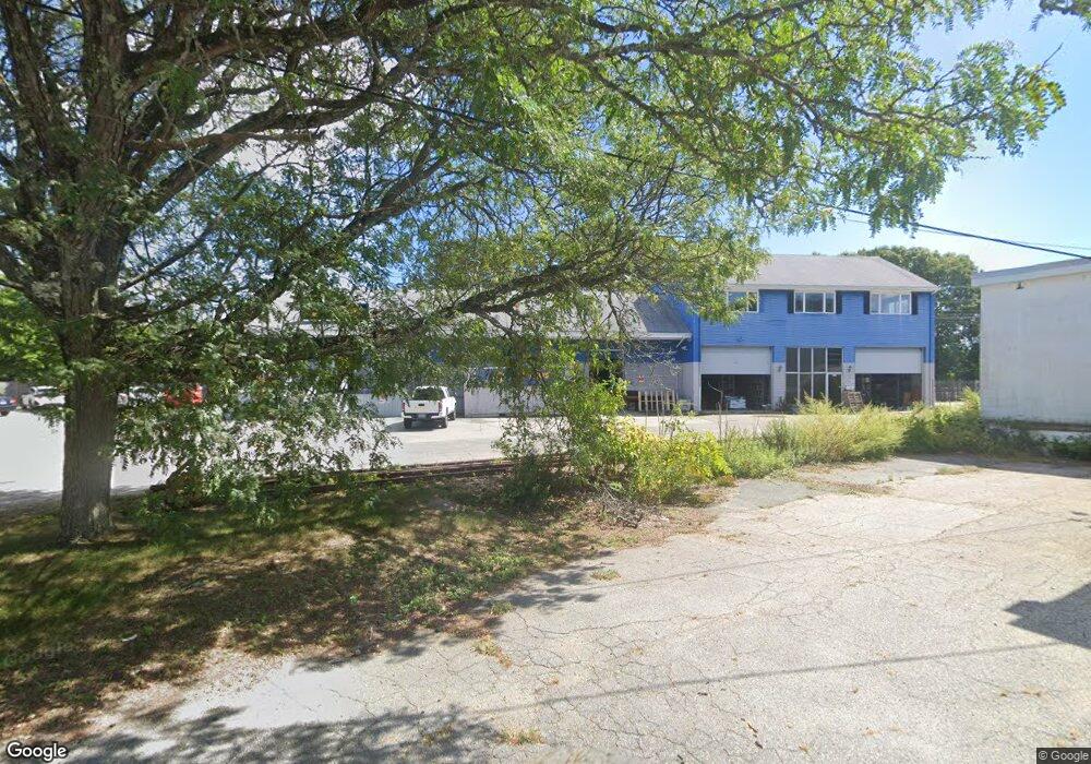
3666 W Shore Rd Warwick, RI 02886
Nausauket NeighborhoodEstimated Value: $1,113,859
--
Bed
--
Bath
2,273
Sq Ft
$490/Sq Ft
Est. Value
About This Home
This home is located at 3666 W Shore Rd, Warwick, RI 02886 and is currently estimated at $1,113,859, approximately $490 per square foot. 3666 W Shore Rd is a home located in Kent County with nearby schools including St Rose Of Lima School and Eleanor Briggs School.
Ownership History
Date
Name
Owned For
Owner Type
Purchase Details
Closed on
May 17, 2007
Sold by
Conway James M
Bought by
Wheelock Realty
Current Estimated Value
Purchase Details
Closed on
Jun 30, 1995
Sold by
Defelice Susan F and Defelice Sandra
Bought by
Conway James M
Create a Home Valuation Report for This Property
The Home Valuation Report is an in-depth analysis detailing your home's value as well as a comparison with similar homes in the area
Home Values in the Area
Average Home Value in this Area
Purchase History
| Date | Buyer | Sale Price | Title Company |
|---|---|---|---|
| Wheelock Realty | $640,000 | -- | |
| Wheelock Realty | $640,000 | -- | |
| Conway James M | $115,000 | -- | |
| Conway James M | $115,000 | -- |
Source: Public Records
Mortgage History
| Date | Status | Borrower | Loan Amount |
|---|---|---|---|
| Open | Conway James M | $850,000 | |
| Closed | Conway James M | $1,019,000 | |
| Open | Conway James M | $1,500,000 |
Source: Public Records
Tax History Compared to Growth
Tax History
| Year | Tax Paid | Tax Assessment Tax Assessment Total Assessment is a certain percentage of the fair market value that is determined by local assessors to be the total taxable value of land and additions on the property. | Land | Improvement |
|---|---|---|---|---|
| 2025 | $17,506 | $729,700 | $155,100 | $574,600 |
| 2024 | $17,511 | $691,600 | $135,700 | $555,900 |
| 2023 | $18,282 | $691,600 | $135,700 | $555,900 |
| 2022 | $0 | $650,600 | $116,300 | $534,300 |
| 2021 | $0 | $650,600 | $116,300 | $534,300 |
| 2020 | $18,282 | $650,600 | $116,300 | $534,300 |
| 2019 | $18,282 | $650,600 | $116,300 | $534,300 |
| 2018 | $18,901 | $606,000 | $116,300 | $489,700 |
| 2017 | $18,398 | $606,000 | $116,300 | $489,700 |
| 2016 | $18,398 | $606,000 | $116,300 | $489,700 |
| 2015 | $18,417 | $591,600 | $119,500 | $472,100 |
| 2014 | $17,801 | $591,600 | $119,500 | $472,100 |
| 2013 | $17,559 | $591,600 | $119,500 | $472,100 |
Source: Public Records
Map
Nearby Homes
- 84 Spruce St
- 3539 W Shore Rd
- 66 Dory Rd
- 3524 W Shore Rd Unit 215
- 299 George Arden Ave
- 1 Cassidy
- 36 Bowen Briggs Ave
- 67 Oak Tree Ave
- 3383 W Shore Rd
- 52 Benefit St
- 180 Boulder View Dr
- 63 Pond View Dr
- 151 Drum Rock Ave
- 17 Wampum Dr
- 16 Taylor Ln
- 37 George Arden Ave
- 3800 Post Rd Unit 4
- 17 Larchmont Rd
- 7 Rutherford Ct Unit 12
- 16 Arrow Ave
- 3668 W Shore Rd
- 3116 Post Rd
- 3661 W Shore Rd
- 30 Station St
- 3160 Post Rd
- 3145 Post Rd
- 3155 Post Rd
- 3159 Post Rd
- 50 College St
- 3174 Post Rd
- 3165 Post Rd
- 21 Shippee Ave
- 27 Shippee Ave
- 4 Coylr St
- 12 Coyle St
- 3590 W Shore Rd
- 94 Spruce St
- 140 Brownlee Blvd Unit 2
- 140 Brownlee Blvd Unit 1
- 140 Brownlee Blvd Unit 1 & 2