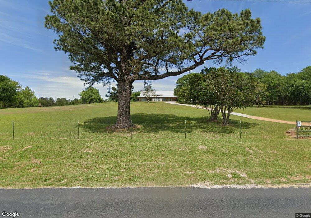
3667 Georgetown Rd Pottsboro, TX 75076
Estimated Value: $707,578 - $764,000
--
Bed
--
Bath
2,958
Sq Ft
$249/Sq Ft
Est. Value
About This Home
This home is located at 3667 Georgetown Rd, Pottsboro, TX 75076 and is currently estimated at $735,789, approximately $248 per square foot. 3667 Georgetown Rd is a home with nearby schools including Pottsboro Elementary School, Pottsboro Middle School, and Pottsboro High School.
Ownership History
Date
Name
Owned For
Owner Type
Purchase Details
Closed on
Feb 27, 2009
Sold by
Boyd Keith and Boyd Cynthia
Bought by
Overton School Farm Ltd
Current Estimated Value
Purchase Details
Closed on
Jan 30, 2006
Sold by
Brumit Michael L and Brumit Leslie
Bought by
Boyd Keith and Boyd Cynthia
Home Financials for this Owner
Home Financials are based on the most recent Mortgage that was taken out on this home.
Original Mortgage
$105,200
Interest Rate
6.22%
Mortgage Type
Fannie Mae Freddie Mac
Purchase Details
Closed on
Aug 31, 2004
Sold by
Wright Michael
Bought by
Gray Sonnie and Bates Michelle L
Home Financials for this Owner
Home Financials are based on the most recent Mortgage that was taken out on this home.
Original Mortgage
$58,253
Interest Rate
6.08%
Mortgage Type
Purchase Money Mortgage
Create a Home Valuation Report for This Property
The Home Valuation Report is an in-depth analysis detailing your home's value as well as a comparison with similar homes in the area
Home Values in the Area
Average Home Value in this Area
Purchase History
| Date | Buyer | Sale Price | Title Company |
|---|---|---|---|
| Overton School Farm Ltd | -- | Grayson County Title | |
| Boyd Keith | -- | None Available | |
| Gray Sonnie | -- | -- |
Source: Public Records
Mortgage History
| Date | Status | Borrower | Loan Amount |
|---|---|---|---|
| Previous Owner | Boyd Keith | $105,200 | |
| Previous Owner | Gray Sonnie | $58,253 |
Source: Public Records
Tax History Compared to Growth
Tax History
| Year | Tax Paid | Tax Assessment Tax Assessment Total Assessment is a certain percentage of the fair market value that is determined by local assessors to be the total taxable value of land and additions on the property. | Land | Improvement |
|---|---|---|---|---|
| 2025 | $2,791 | $648,391 | -- | -- |
| 2024 | $8,167 | $589,446 | $0 | $0 |
| 2023 | $2,800 | $535,860 | $0 | $0 |
| 2022 | $4,951 | $487,145 | $0 | $0 |
| 2021 | $7,202 | $442,859 | $50,000 | $392,859 |
| 2020 | $7,067 | $418,634 | $40,000 | $378,634 |
| 2019 | $7,052 | $398,594 | $30,000 | $368,594 |
| 2018 | $6,674 | $372,523 | $16,000 | $356,523 |
| 2017 | $6,326 | $348,516 | $16,000 | $332,516 |
| 2016 | $5,802 | $336,616 | $17,000 | $319,616 |
| 2015 | $4,751 | $288,442 | $17,000 | $271,442 |
| 2014 | $4,099 | $242,453 | $17,000 | $225,453 |
Source: Public Records
Map
Nearby Homes
- 344 Castle Dr
- 11 Mayfield Ln
- 219 Ray Rd
- 83 Mayfield Ln
- 105 Eagleview Cir
- 110 Eagleview Cir
- 120 Eagleview Cir
- 545 Black Forest Dr
- 33 Queens Dr
- 34 Cambridge Dr
- 491 Black Forest Dr
- 226 Cambridge Dr
- 142 Wales Dr
- 81 Windsor Dr
- 16 Wales Dr
- 210 Walnut Ln
- 191 Black Forest Dr
- 207 Wales Dr
- 137 Anderson Ln
- 1050 Cooks Corner Rd