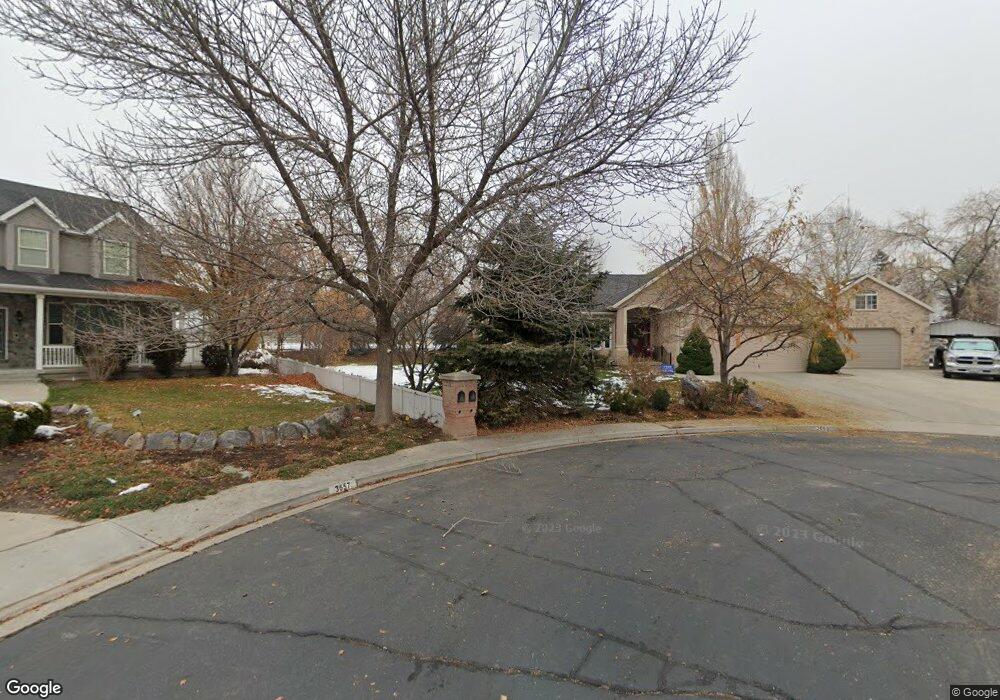
3668 N 1150 W Pleasant Grove, UT 84062
Estimated Value: $757,000 - $900,655
4
Beds
3
Baths
3,758
Sq Ft
$221/Sq Ft
Est. Value
About This Home
This home is located at 3668 N 1150 W, Pleasant Grove, UT 84062 and is currently estimated at $828,914, approximately $220 per square foot. 3668 N 1150 W is a home located in Utah County with nearby schools including Deerfield Elementary School, Mountain Ridge Junior High School, and American Fork High School.
Ownership History
Date
Name
Owned For
Owner Type
Purchase Details
Closed on
Aug 13, 2021
Sold by
Gordon Thayne Family Trust and Dianne Driggs S
Bought by
Mcknight Michelle R and Mcknight William R
Current Estimated Value
Home Financials for this Owner
Home Financials are based on the most recent Mortgage that was taken out on this home.
Original Mortgage
$470,000
Outstanding Balance
$427,376
Interest Rate
2.9%
Mortgage Type
New Conventional
Estimated Equity
$401,538
Purchase Details
Closed on
Dec 27, 2001
Sold by
Thayne Gordon E
Bought by
Thayne Gordon E and Gordon Thayne Family Trust
Purchase Details
Closed on
Dec 23, 1998
Sold by
All American Development & Const Lc
Bought by
Thayne Gordon E
Create a Home Valuation Report for This Property
The Home Valuation Report is an in-depth analysis detailing your home's value as well as a comparison with similar homes in the area
Home Values in the Area
Average Home Value in this Area
Purchase History
| Date | Buyer | Sale Price | Title Company |
|---|---|---|---|
| Mcknight Michelle R | -- | Old Republic Title | |
| Thayne Gordon E | -- | -- | |
| Thayne Gordon E | -- | First American Title Co | |
| All American Development & Const Lc | -- | First American Title Co |
Source: Public Records
Mortgage History
| Date | Status | Borrower | Loan Amount |
|---|---|---|---|
| Open | Mcknight Michelle R | $470,000 |
Source: Public Records
Tax History Compared to Growth
Tax History
| Year | Tax Paid | Tax Assessment Tax Assessment Total Assessment is a certain percentage of the fair market value that is determined by local assessors to be the total taxable value of land and additions on the property. | Land | Improvement |
|---|---|---|---|---|
| 2025 | $3,464 | $462,990 | $340,500 | $501,300 |
| 2024 | $3,464 | $404,195 | $0 | $0 |
| 2023 | $3,233 | $395,010 | $0 | $0 |
| 2022 | $3,277 | $398,365 | $0 | $0 |
| 2021 | $2,702 | $500,200 | $200,000 | $300,200 |
| 2020 | $2,567 | $465,800 | $185,200 | $280,600 |
| 2019 | $2,220 | $416,600 | $172,600 | $244,000 |
| 2018 | $2,144 | $380,500 | $168,300 | $212,200 |
| 2017 | $2,126 | $200,860 | $0 | $0 |
| 2016 | $2,019 | $184,140 | $0 | $0 |
| 2015 | $2,132 | $184,140 | $0 | $0 |
| 2014 | $2,017 | $172,535 | $0 | $0 |
Source: Public Records
Map
Nearby Homes
- 9506 N 4000 W
- 9481 N 3830 W
- 3810 W Valley View Dr
- 4441 W Bridgestone Dr
- 1243 N 1270 E
- 4124 N 810 W
- 9547 N Canyon Rd
- 248 N Deerfield Ln
- 2969 N 1350 W
- 9587 N 4500 W
- 1172 Murdock Dr
- 9575 Aztec Dr
- 1162 E 1180 N
- 1228 E 1030 N
- 9900 N Meadow Dr
- 9681 N Peach Ct
- 2837 N 550 W
- 4631 W Harvey Blvd
- 3851 W Mountaintop Cir Unit 5
- 3870 Mountaintop Cir