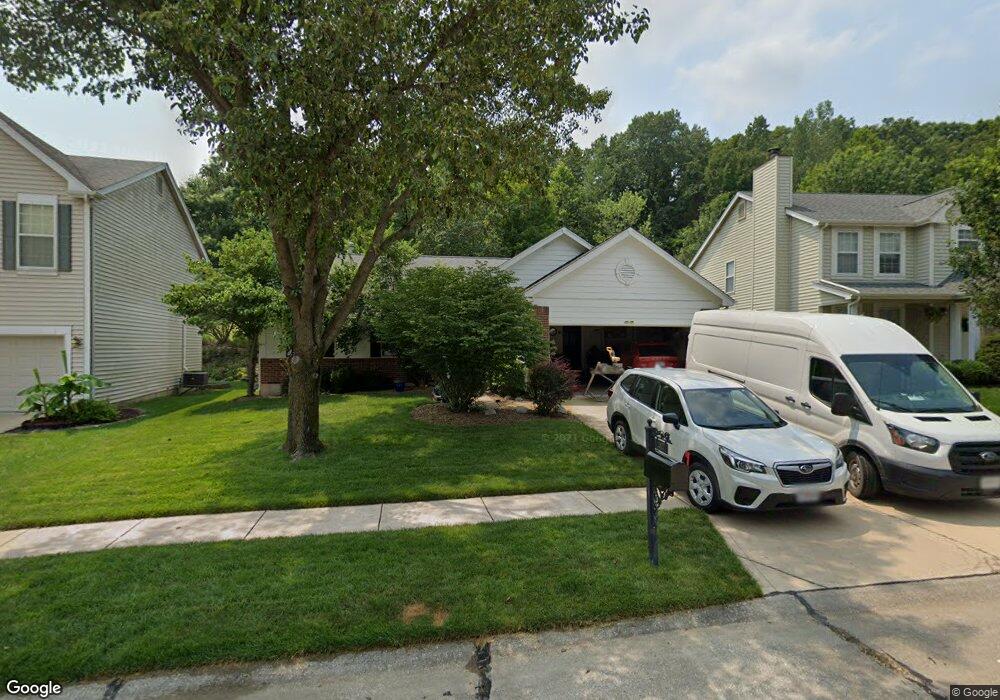
367 Buckhurst Dr Ballwin, MO 63021
Estimated Value: $382,665 - $503,000
3
Beds
3
Baths
1,566
Sq Ft
$289/Sq Ft
Est. Value
About This Home
This home is located at 367 Buckhurst Dr, Ballwin, MO 63021 and is currently estimated at $452,416, approximately $288 per square foot. 367 Buckhurst Dr is a home located in St. Louis County with nearby schools including Ridge Meadows Elementary School, Selvidge Middle School, and Marquette Sr. High School.
Ownership History
Date
Name
Owned For
Owner Type
Purchase Details
Closed on
Feb 21, 1997
Sold by
Jones Company Custom Homes Co The
Bought by
Dysart William M and Dysart Monika I
Current Estimated Value
Home Financials for this Owner
Home Financials are based on the most recent Mortgage that was taken out on this home.
Original Mortgage
$149,936
Interest Rate
7.92%
Mortgage Type
Balloon
Create a Home Valuation Report for This Property
The Home Valuation Report is an in-depth analysis detailing your home's value as well as a comparison with similar homes in the area
Home Values in the Area
Average Home Value in this Area
Purchase History
| Date | Buyer | Sale Price | Title Company |
|---|---|---|---|
| Dysart William M | -- | -- |
Source: Public Records
Mortgage History
| Date | Status | Borrower | Loan Amount |
|---|---|---|---|
| Closed | Dysart William M | $149,936 |
Source: Public Records
Tax History
| Year | Tax Paid | Tax Assessment Tax Assessment Total Assessment is a certain percentage of the fair market value that is determined by local assessors to be the total taxable value of land and additions on the property. | Land | Improvement |
|---|---|---|---|---|
| 2025 | $4,444 | $88,350 | $36,250 | $52,100 |
| 2024 | $4,444 | $63,500 | $20,120 | $43,380 |
| 2023 | $4,444 | $63,500 | $20,120 | $43,380 |
| 2022 | $4,688 | $62,300 | $24,170 | $38,130 |
| 2021 | $4,654 | $62,300 | $24,170 | $38,130 |
| 2020 | $4,126 | $52,620 | $23,470 | $29,150 |
| 2019 | $4,142 | $52,620 | $23,470 | $29,150 |
| 2018 | $4,091 | $49,000 | $17,650 | $31,350 |
| 2017 | $3,994 | $49,000 | $17,650 | $31,350 |
| 2016 | $3,926 | $46,320 | $17,650 | $28,670 |
| 2015 | $3,847 | $46,320 | $17,650 | $28,670 |
| 2014 | $3,464 | $40,640 | $13,320 | $27,320 |
Source: Public Records
Map
Nearby Homes
- 439 Chukker Valley
- 589 Wetherby Terrace Dr
- 847 Arbor Chase Dr
- 16015 Canterbury Estates Dr
- 217 Carmel Woods Dr Unit 217
- 16038 Pierside Ln
- 1396 Parkview Estates Dr
- 847 Palm Bay Dr
- 325 Fox Village Ct
- 16016 Cinderella Ct
- 16004 Cinderella Ct
- 16008 Cinderella Ct
- 16033 Cinderella Ct
- 2 Burlington at Regal Pines Meadows
- 2 Meadows
- 2 Belmont at Regal Pines Meadows
- 279 Aspen Village Dr
- 2 Nottingham at Regal Pines Enclave
- 2 Hickory at Regal Pines Enclave
- 2 Sequoia at Regal Pines Enclave
- 363 Buckhurst Dr
- 371 Buckhurst Dr
- 359 Buckhurst Dr
- 375 Buckhurst Dr
- 368 Buckhurst Dr
- 364 Buckhurst Dr
- 355 Buckhurst Dr
- 379 Buckhurst Dr
- 372 Buckhurst Dr
- 360 Buckhurst Dr
- 1429 Buckhurst Ct
- 1433 Buckhurst Ct
- 356 Buckhurst Dr
- 376 Buckhurst Dr
- 383 Buckhurst Dr
- 1425 Buckhurst Ct
- 352 Buckhurst Dr
- 380 Buckhurst Dr
- 387 Buckhurst Dr
- 347 Buckhurst Dr
Your Personal Tour Guide
Ask me questions while you tour the home.