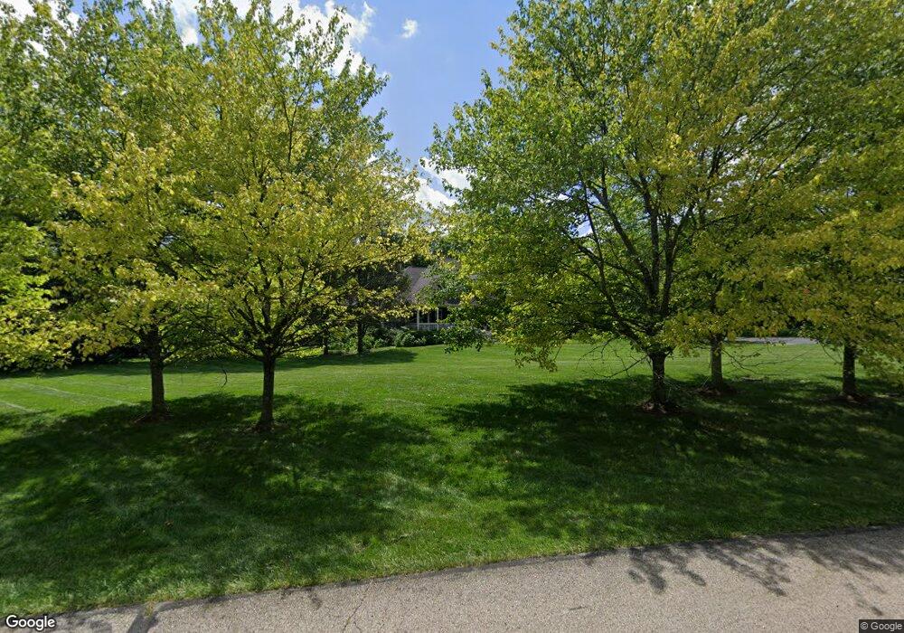
Estimated Value: $997,000 - $1,234,000
4
Beds
4
Baths
4,725
Sq Ft
$237/Sq Ft
Est. Value
About This Home
This home is located at 367 Cedar Trace, Xenia, OH 45385 and is currently estimated at $1,118,904, approximately $236 per square foot. 367 Cedar Trace is a home located in Greene County with nearby schools including Fairbrook Elementary School, Herman K Ankeney Middle School, and Beavercreek High School.
Ownership History
Date
Name
Owned For
Owner Type
Purchase Details
Closed on
Jun 18, 2008
Sold by
Pai Sanjeeth and Pai Ahna L H
Bought by
Pai Sanjeeth and Pai Ahna L H
Current Estimated Value
Purchase Details
Closed on
Aug 10, 2007
Sold by
Longhouser John Edward and Longhouser Cheryl Lynn
Bought by
Pai Sanjeeth and Pai Ahna L H
Home Financials for this Owner
Home Financials are based on the most recent Mortgage that was taken out on this home.
Original Mortgage
$592,000
Outstanding Balance
$375,399
Interest Rate
6.69%
Mortgage Type
Unknown
Estimated Equity
$743,505
Purchase Details
Closed on
Dec 8, 2003
Sold by
Jean Raymond and Jean Alberta
Bought by
Longhouser John Edward and Longhouser Cheryl Lynn
Home Financials for this Owner
Home Financials are based on the most recent Mortgage that was taken out on this home.
Original Mortgage
$450,000
Interest Rate
5%
Mortgage Type
Unknown
Create a Home Valuation Report for This Property
The Home Valuation Report is an in-depth analysis detailing your home's value as well as a comparison with similar homes in the area
Home Values in the Area
Average Home Value in this Area
Purchase History
| Date | Buyer | Sale Price | Title Company |
|---|---|---|---|
| Pai Sanjeeth | -- | Attorney | |
| Pai Sanjeeth | $740,000 | Titlequest Agency Inc | |
| Longhouser John Edward | $1,380,000 | Sterling Land Title Agency I |
Source: Public Records
Mortgage History
| Date | Status | Borrower | Loan Amount |
|---|---|---|---|
| Open | Pai Sanjeeth | $592,000 | |
| Previous Owner | Longhouser John Edward | $450,000 |
Source: Public Records
Tax History
| Year | Tax Paid | Tax Assessment Tax Assessment Total Assessment is a certain percentage of the fair market value that is determined by local assessors to be the total taxable value of land and additions on the property. | Land | Improvement |
|---|---|---|---|---|
| 2024 | $18,887 | $325,250 | $34,800 | $290,450 |
| 2023 | $18,680 | $325,250 | $34,800 | $290,450 |
| 2022 | $16,385 | $250,140 | $29,000 | $221,140 |
| 2021 | $16,549 | $250,140 | $29,000 | $221,140 |
| 2020 | $16,628 | $250,140 | $29,000 | $221,140 |
| 2019 | $17,135 | $236,730 | $29,000 | $207,730 |
| 2018 | $14,982 | $236,730 | $29,000 | $207,730 |
| 2017 | $14,692 | $236,730 | $29,000 | $207,730 |
| 2016 | $14,492 | $225,810 | $29,000 | $196,810 |
| 2015 | $14,582 | $225,810 | $29,000 | $196,810 |
| 2014 | $14,253 | $225,810 | $29,000 | $196,810 |
Source: Public Records
Map
Nearby Homes
- 3109 Indian Ripple Rd
- 25 Martingham Ct Unit 25
- 2799 Riverstone Dr
- 239 Honey Jane Dr
- 281 Locust Ct
- 197 Bramblebush Trail
- 185 Bramblebush Trail
- 109 Castle Pine Ct
- 252 Signature Dr S
- 457 Merrick Dr
- 1104 Mcbee Rd
- 153 George Wythe Way
- 3597 Echo Hill Ln
- 3899 Pepperwell Cir
- 3985 Shagbark Ln
- 181 Wynstone Ct
- 2580 Paydon Randoff Rd
- 535 Carleton Dr
- 3054 Maginn Dr
- 205 Elmwood Place
- 350 Cedar Trace
- 435 Sugarbrook Trail
- 368 Cedar Trace
- 341 Cedar Trace
- 376 Cedar Trace
- 440 Sugarbrook Trail
- 320 Cedar Trace
- 0 Cedar Trace
- 441 Sugarbrook Trail
- 3161 Sonnyann Place
- 385 Narrows Trace
- 291 Narrows Trace
- 300 Cedar Trace
- 364 S Alpha Bellbrook Rd
- 3175 Sonnyann Place
- 479 Sugarbrook Trail
- 3076 Brinisey Cir
- 374 Narrows Trace
- 293 Cedar Trace
- 297 Narrows Trace
Your Personal Tour Guide
Ask me questions while you tour the home.
