367 Conander Dr Unit 51 Mountain Rest, SC 29664
Estimated Value: $341,000 - $656,000
3
Beds
2
Baths
2,240
Sq Ft
$209/Sq Ft
Est. Value
About This Home
This home is located at 367 Conander Dr Unit 51, Mountain Rest, SC 29664 and is currently estimated at $468,702, approximately $209 per square foot. 367 Conander Dr Unit 51 is a home located in Oconee County with nearby schools including James M. Brown Elementary School, Walhalla Middle School, and Walhalla High School.
Ownership History
Date
Name
Owned For
Owner Type
Purchase Details
Closed on
Sep 27, 2023
Sold by
Teachey Guy Burton and Clay Macaulay W
Bought by
Macaulay Mountain House Llc
Current Estimated Value
Purchase Details
Closed on
Oct 10, 2019
Sold by
Macaulay Patricia D
Bought by
Macaulay Patricia Dendy and Ramsay Elizabeth Macaulay
Purchase Details
Closed on
Jun 26, 2019
Sold by
Freeman Sara Elizabeth and Vissage Benjamin Lee
Bought by
Vissage Freeman Iii John Franklin and Vissage Freeman Sara Elizabeth
Purchase Details
Closed on
Jul 5, 2013
Sold by
Macaulay Wilkes D and Macaulay Helen A
Bought by
Teachey Ii G Uy Burton and Macaulay Helen A
Purchase Details
Closed on
Nov 1, 2010
Sold by
Lane Lucille Alexa M
Bought by
Teachey Ii Guy Burton
Create a Home Valuation Report for This Property
The Home Valuation Report is an in-depth analysis detailing your home's value as well as a comparison with similar homes in the area
Home Values in the Area
Average Home Value in this Area
Purchase History
| Date | Buyer | Sale Price | Title Company |
|---|---|---|---|
| Macaulay Mountain House Llc | -- | None Listed On Document | |
| Macaulay Patricia Dendy | -- | None Available | |
| Vissage Freeman Iii John Franklin | -- | None Available | |
| Vissage Benjamin Lee | -- | None Available | |
| Teachey Ii G Uy Burton | -- | -- | |
| Teachey Ii Guy Burton | $10,000 | -- |
Source: Public Records
Tax History Compared to Growth
Tax History
| Year | Tax Paid | Tax Assessment Tax Assessment Total Assessment is a certain percentage of the fair market value that is determined by local assessors to be the total taxable value of land and additions on the property. | Land | Improvement |
|---|---|---|---|---|
| 2024 | $3,006 | $10,080 | $4,750 | $5,330 |
| 2023 | $3,006 | $10,080 | $4,750 | $5,330 |
| 2022 | $3,048 | $10,080 | $4,750 | $5,330 |
| 2021 | $2,791 | $8,801 | $3,750 | $5,051 |
| 2020 | $2,791 | $0 | $0 | $0 |
| 2019 | $2,791 | $0 | $0 | $0 |
| 2018 | $2,718 | $0 | $0 | $0 |
| 2017 | $2,290 | $0 | $0 | $0 |
| 2016 | $2,290 | $0 | $0 | $0 |
| 2015 | -- | $0 | $0 | $0 |
| 2014 | -- | $7,103 | $3,318 | $3,785 |
| 2013 | -- | $0 | $0 | $0 |
Source: Public Records
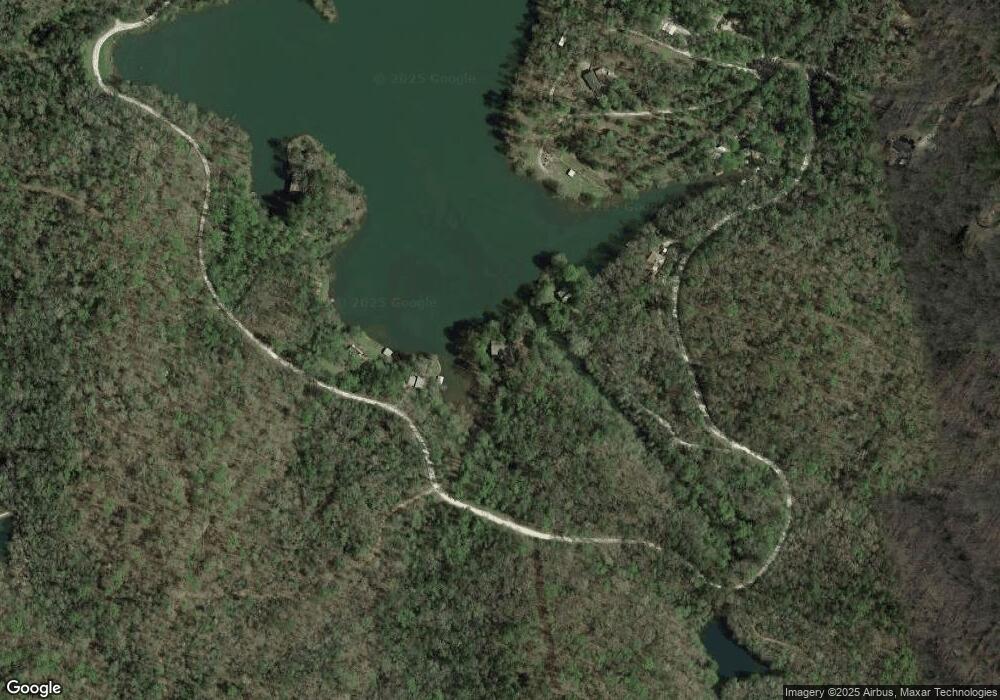
Map
Nearby Homes
- 00 Crystal Lake Rd
- 614 Village Dr
- 00 Homeland Dr
- 300 Tunnel Town Rd
- 181 Homeland Dr
- 00 Homeland (5 04 Acres) Dr
- 00 Dr
- 0 C H 68
- 237 Hickory Ridge
- LOT 13 Right Branch Dr
- 31 A Bonner Rd
- 693 W Cove Dr
- 147 Lakeside Dr
- 251 Oak Haven Dr
- 525 Blueberry Ln
- 315 Valley Dr
- 119 Lisa Ln
- 1399 Lake Jemiki Rd
- 830 Chattooga Ridge Rd
- 001 Lenore B Ln
- 138 Turtle Creek Trail
- 138 Turtle Creek Trail Unit Lot 49 Crystal Lake
- 1264 Crystal Lake Rd
- 1274 Crystal Lake Rd
- 1038 Crystal Lake Rd
- 1280 Crystal Lake Rd
- 421 Paradise Cove Dr
- 358 Vissage Rd
- 608 La Winda Dr
- 340 Vissage Rd
- 1314 Crystal Lake Rd Unit Crystal Lake
- 280 Endoline Dr
- Two Ts Cir. Crystal Lake Rd
- LOT 36 Crystal Lake Rd
- 138 Crystal Cove Dr
- 237 Vissage Rd
- 1522 Crystal Lake Rd Unit Crystal Lake
- 1522 Crystal Lake Rd
- 535 Twin Oaks Dr
- 233 Vissage Rd