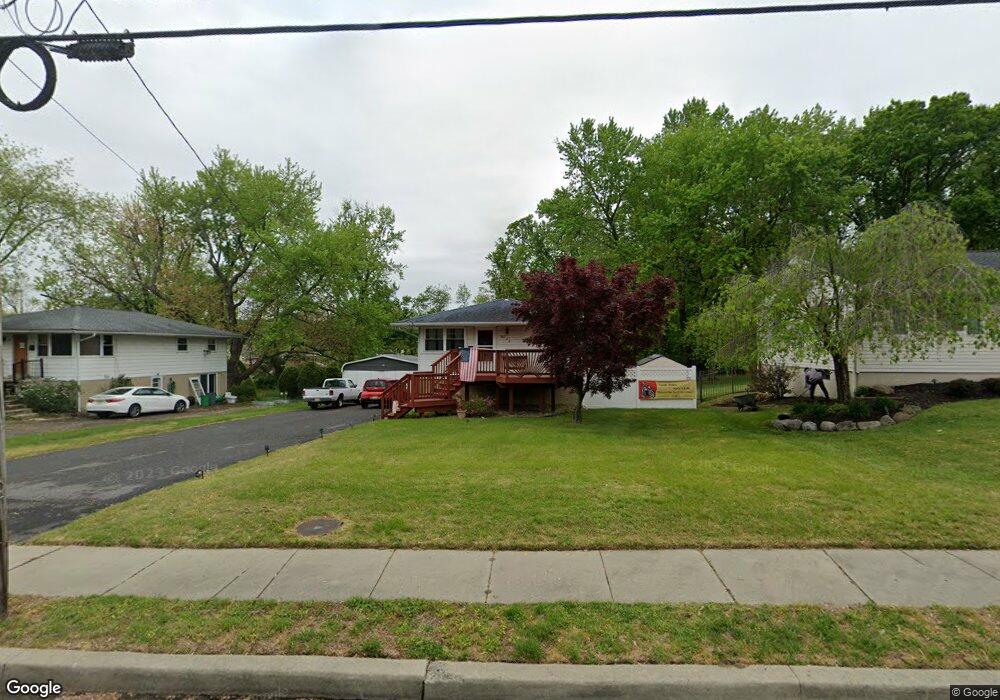
367 Hessian Ave West Deptford, NJ 08096
West Deptford Township NeighborhoodEstimated Value: $234,587 - $323,000
--
Bed
--
Bath
912
Sq Ft
$308/Sq Ft
Est. Value
About This Home
This home is located at 367 Hessian Ave, West Deptford, NJ 08096 and is currently estimated at $280,647, approximately $307 per square foot. 367 Hessian Ave is a home located in Gloucester County with nearby schools including Oakview Elementary School, Red Bank Elementary School, and Green-Fields Elementary School.
Ownership History
Date
Name
Owned For
Owner Type
Purchase Details
Closed on
Sep 2, 2005
Sold by
Harbeson James
Bought by
Tinney Kenneth R and Tinney Lisa J
Current Estimated Value
Home Financials for this Owner
Home Financials are based on the most recent Mortgage that was taken out on this home.
Original Mortgage
$151,200
Interest Rate
5.84%
Mortgage Type
Fannie Mae Freddie Mac
Purchase Details
Closed on
Aug 27, 1998
Sold by
Buckley Virginia P and Harbeson Virginia P
Bought by
Harbeson James M
Create a Home Valuation Report for This Property
The Home Valuation Report is an in-depth analysis detailing your home's value as well as a comparison with similar homes in the area
Home Values in the Area
Average Home Value in this Area
Purchase History
| Date | Buyer | Sale Price | Title Company |
|---|---|---|---|
| Tinney Kenneth R | $189,000 | Commonwealth Land Title Insu | |
| Harbeson James M | -- | -- |
Source: Public Records
Mortgage History
| Date | Status | Borrower | Loan Amount |
|---|---|---|---|
| Previous Owner | Tinney Kenneth R | $151,200 |
Source: Public Records
Tax History Compared to Growth
Tax History
| Year | Tax Paid | Tax Assessment Tax Assessment Total Assessment is a certain percentage of the fair market value that is determined by local assessors to be the total taxable value of land and additions on the property. | Land | Improvement |
|---|---|---|---|---|
| 2025 | $5,458 | $156,300 | $46,100 | $110,200 |
| 2024 | $5,388 | $156,300 | $46,100 | $110,200 |
| 2023 | $5,388 | $156,300 | $46,100 | $110,200 |
| 2022 | $5,363 | $156,300 | $46,100 | $110,200 |
| 2021 | $5,344 | $156,300 | $46,100 | $110,200 |
| 2020 | $5,331 | $156,300 | $46,100 | $110,200 |
| 2019 | $5,183 | $156,300 | $46,100 | $110,200 |
| 2018 | $5,042 | $156,300 | $46,100 | $110,200 |
| 2017 | $4,925 | $156,300 | $46,100 | $110,200 |
| 2016 | $4,787 | $156,300 | $46,100 | $110,200 |
| 2015 | $4,739 | $162,400 | $52,200 | $110,200 |
| 2014 | $4,503 | $162,400 | $52,200 | $110,200 |
Source: Public Records
Map
Nearby Homes
- 1174 Harker Ave
- 1346 Verga Ave
- 1009 Hessian Ave
- 541 Elberne Ave
- 321 May Ave
- 1372 Riley Ave
- 210 Lawnton Ave
- 1448 Victory Ave
- 120 Progress Ave
- 121 Crescent Ave
- 193 Dubois Ave
- 1029 Tatum St
- 131 Watkins Ave
- 1156 Hessian Ave
- 66 Hessian Ave
- 70 Crescent Ave
- 41 Crescent Ave
- 38 Watkins Ave
- 654 Frances Ave
- 17 Watkins Ave
- 359 Hessian Ave
- 375 Hessian Ave
- 351 Hessian Ave
- 383 Hessian Ave
- 364 Hessian Ave
- 360 Hessian Ave
- 368 Hessian Ave
- 1179 Lewis Terrace
- 1175 Lewis Terrace
- 101 Hessian Run Ct
- 946 Hessian Ave
- 955 Hessian Ave
- 945 Hessian Ave
- 1186 Lewis Terrace
- 108 Hessian Run Ct
- 1171 Lewis Terrace
- 1400 Woodlane Dr
- 1182 Lewis Terrace
- 947 Hessian Ave
- 102 Hessian Run Ct